
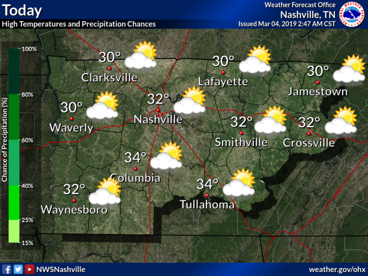
Start to the Work Week
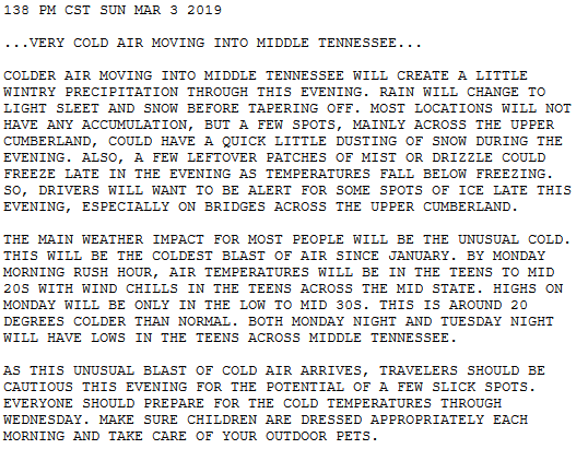
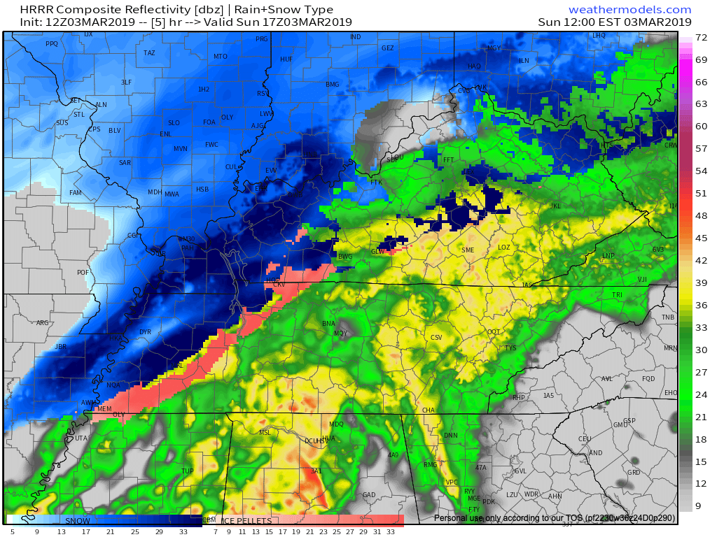
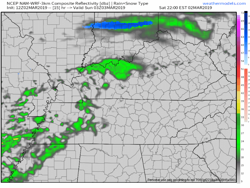
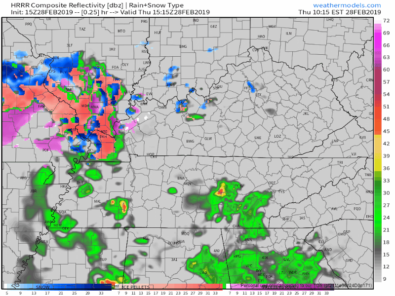
March 1 may have been the start of meteorological Spring however, Old Man Winter had something to say about that. All of the rain yesterday left cold air in its wake. Temperatures this afternoon are going to struggle to make it to and above freezing.


You must be logged in to post a comment.