Storms Moving Out
Strong/severe storms moved through this afternoon and evening dropping a lot of rain, lots of lightning, some wind and some hail. These storms have pushed to the S and SE and should be out of our area soon.
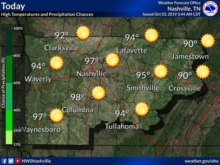
As the ridge of high pressure over Texas moves eastward into the lower Mississippi Valley today, temperatures will climb several degrees above normal. Dew points rise into the mid and upper 60s. It will be a mostly sunny and hot afternoon with high temperatures around 95. Heat index readings will be between 100 and 105 degrees which will make it feel quite hot and oppressive.

Tuesday will be the hottest day with some strong afternoon thunderstorms across Middle Tennessee. High temperatures will be around 97 with dew points in the mid 70s will allow for dangerously hot conditions as heat index readings reach between 105 and 110 degrees.

A Heat Advisory has been issued by NWS for Tuesday as heat index values climb above 105°. Here are their recommendations:
THE COMBINATION OF HOT TEMPERATURES AND HIGH HUMIDITY WILL COMBINE TO CREATE A SITUATION IN WHICH HEAT ILLNESSES ARE POSSIBLE. DRINK PLENTY OF FLUIDS, STAY IN AN AIR-CONDITIONED ROOM, STAY OUT OF THE SUN, AND CHECK UP ON RELATIVES AND NEIGHBORS. TAKE EXTRA PRECAUTIONS, IF YOU WORK OR SPEND TIME OUTSIDE. WHEN POSSIBLE, RESCHEDULE STRENUOUS ACTIVITIES TO EARLY MORNING OR EVENING. KNOW THE SIGNS AND SYMPTOMS OF HEAT EXHAUSTION AND HEAT STROKE. WEAR LIGHT WEIGHT AND LOOSE FITTING CLOTHING WHEN POSSIBLE AND DRINK PLENTY OF WATER. TO REDUCE RISK DURING OUTDOOR WORK, THE OCCUPATIONAL SAFETY AND HEALTH ADMINISTRATION RECOMMENDS SCHEDULING FREQUENT REST BREAKS IN SHADED OR AIR CONDITIONED ENVIRONMENTS. ANYONE OVERCOME BY HEAT SHOULD BE MOVED TO A COOL AND SHADED LOCATION. HEAT STROKE IS AN EMERGENCY, CALL 9 1 1.
It’s going to be a great day weather wise. The dew point and temperature are both lower this morning than they were yesterday.

Temperature today will be 95º at 3pm, but a north breeze will keep us sane. Tomorrow, the insanity begins…
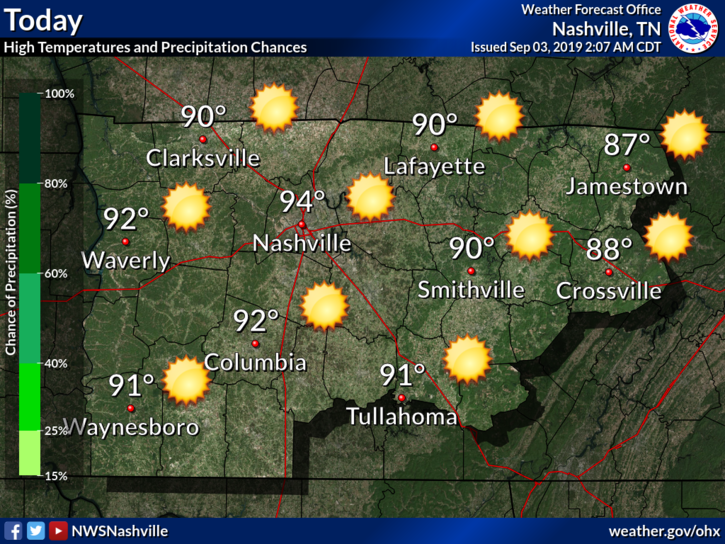
Hot! High in the low 90°s.

Now that doesn’t sound too bad initially… but wait there is more.
Our dew points will be lingering in the low 70°s.

Here is what NWS-Nashville has to say:
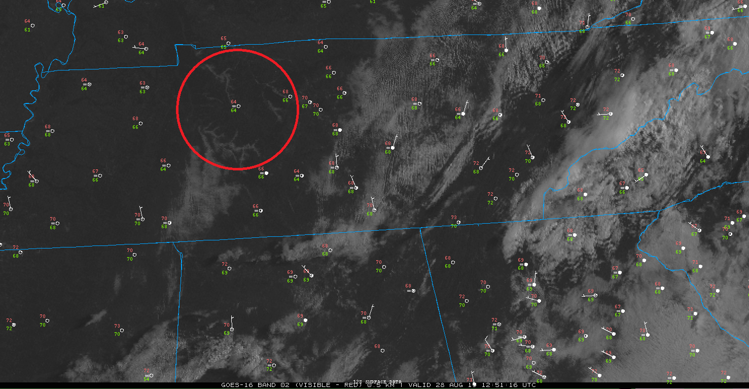
Scattered light rain was in West Tennessee at 12:50 PM, moving this way.

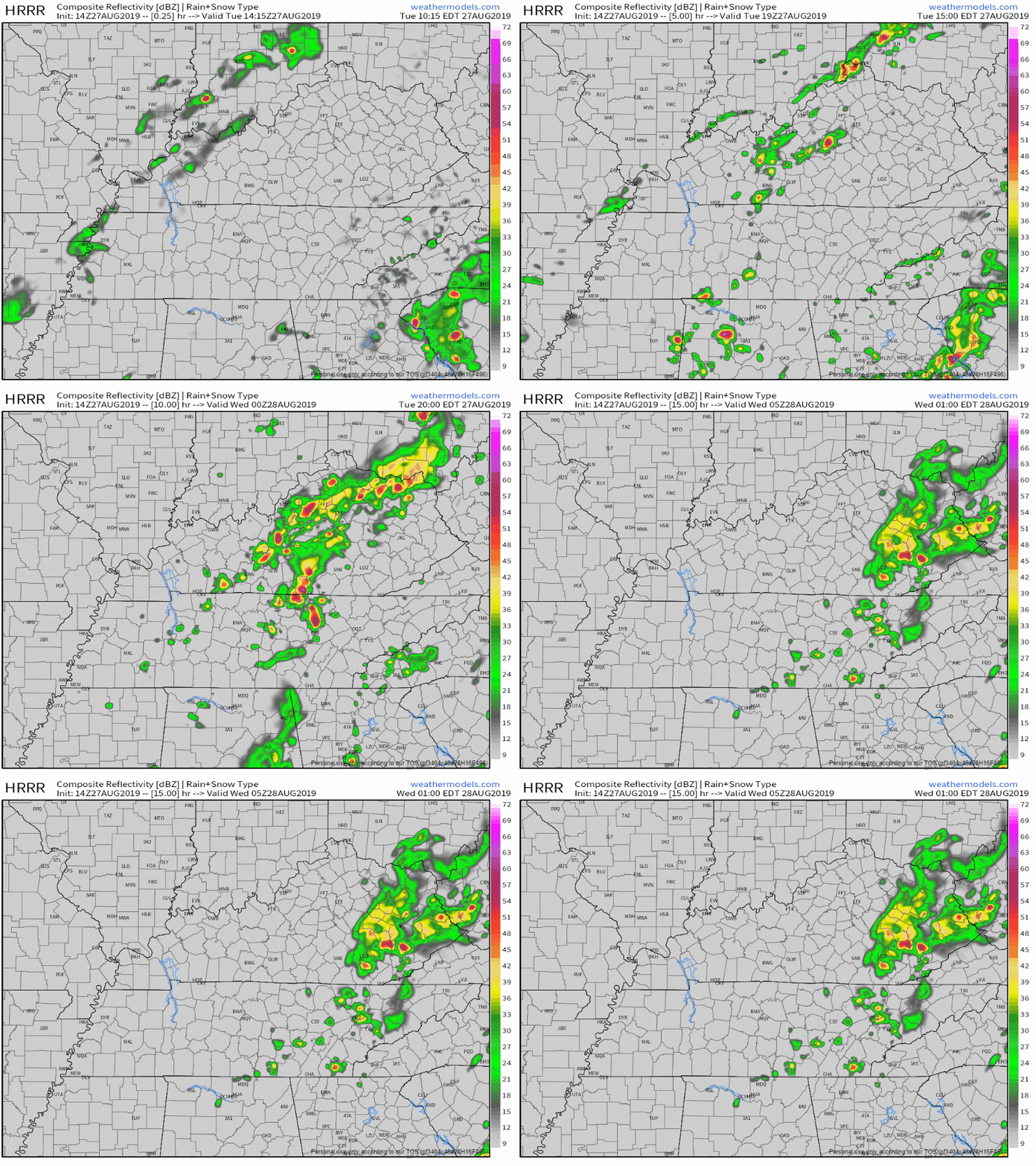
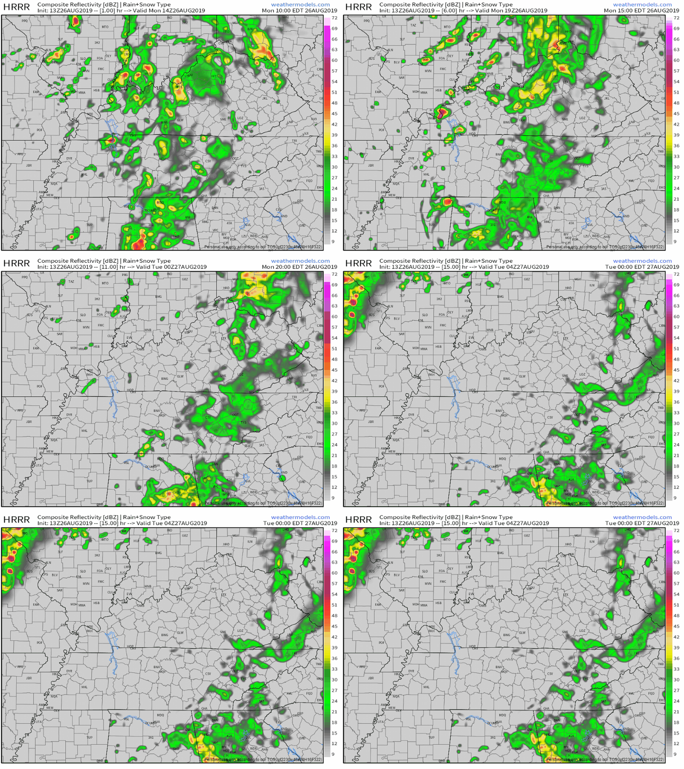
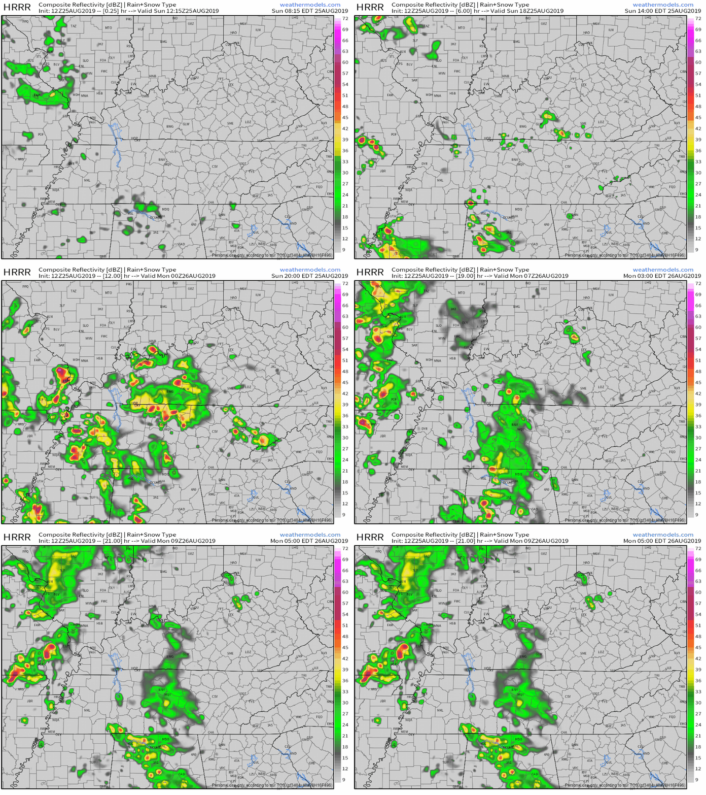
Not everyone will get a rain or storm today. Models have different ideas.
Honestly, it looks meh, but we may see afternoon action.
We start off with a foggy morning. Much of this fog should have finished mixing out by now.
As the fog mixes out, our temperatures should start to rise. The high could reach into the low 90°s today.

High temperature: 92°.
Dewpoint temperatures: Upper-60s, maybe even 70°. In other words, gross.

Rain: Not expected; most of it should stay to our south and southwest.
Here’s the HRRR model:

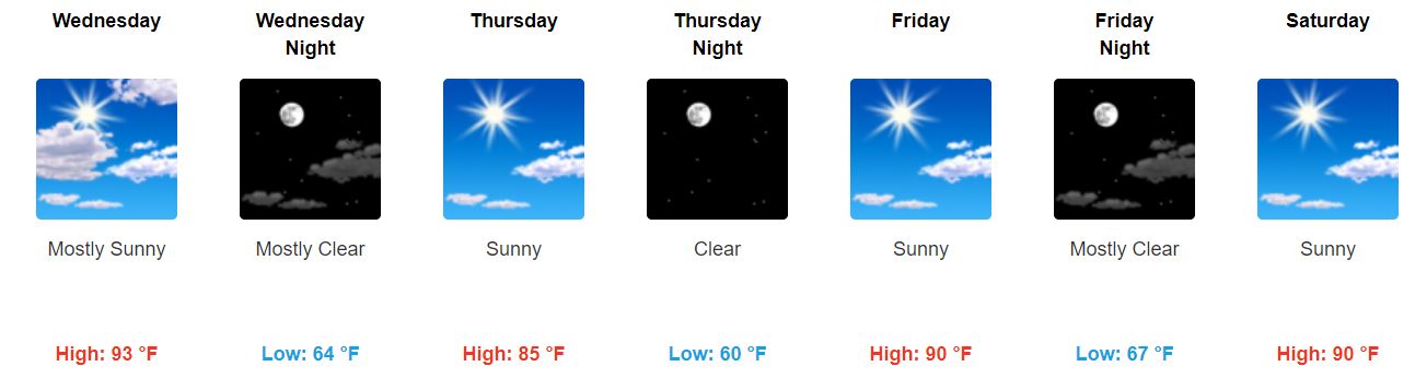
We’ve got a normal summer week ahead of us.
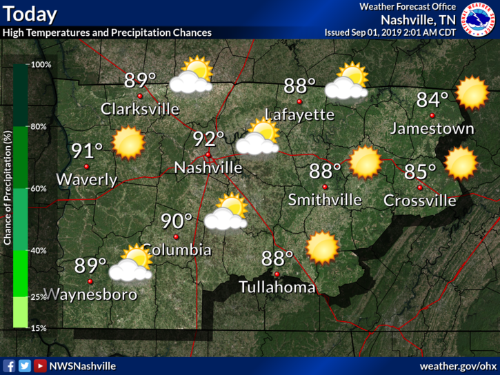
We’ll stay mostly dry today, partly cloudy. High temperature near 91°.
We can’t completely rule out an isolated shower or storm this afternoon. But rain is unlikely.
The week will start off much drier than what we saw this weekend.
Typical summer-time heat and humidity continues. High temperatures will top out near 90 degrees Monday and 92 on Tuesday. Dew points will be in the mid and upper 60s which will make it feel a bit sticky out there this afternoon.
No specific reliable ETAs due to model uncertainty and storm setup. But we have an idea: around 1 PM to 5 PM.

Flexible plans recommended in case that changes. If you don’t think it may change, welcome to Nashville! You must be new.
You must be logged in to post a comment.