Father’s Day Showers/Storms
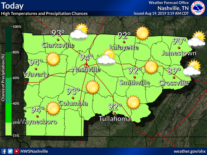
Temperatures will reach a high of 91° with a dewpoint of 70°, so be sure to put on an extra spritz of hairspray and swipe of deodorant. The heat index will run into the mid 90s in the shade, hotter in sunlight.
Today should make for a nice day, though warmer temperatures and 60° dewpoints return.
Note that winds will hang around 10-15 MPH and gusts could reach as high as 25 MPH.

The chance for rain returns Sunday.
After a chilly night last night with some record lows, we’re going to have a beautiful afternoon! Sunny skies will be the story today, with a few thin patches of cirrus clouds overhead. Temperatures will climb to 81° this afternoon, along with much lower dewpoints and setting us up with a perfect afternoon!
Last week, I spent several days at various places on the Pacific coast. The weather was fantastic. Today in Nashville is awfully close to what you find out west this time of year. If you took the day off, are at camp this week, or even mowing the grass, good move. This is about as good as it gets in mid-June.
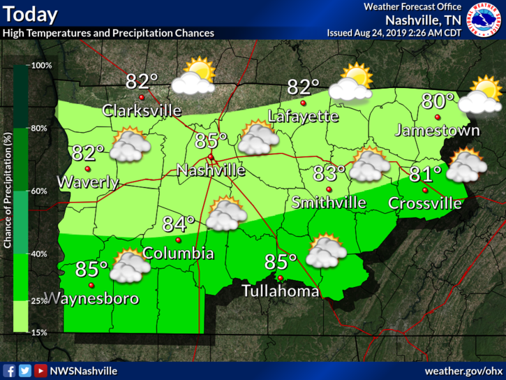
A chance for showers and a few isolated storms exists as an upper level system swings through the region. It seems like the best chances will be just to our east but we can’t rule out a few stray showers that could pop up mainly between 2 and 8 PM. The National Weather Service echoes this:
We’ve got a picture perfect afternoon ahead of us today! Temperatures are going to be several degrees below normal, only reaching 72° for the high. Humidity is going to be a lot lower as well. Light and pleasant winds out of the North will set us up with a quiet, and beautiful Tuesday!
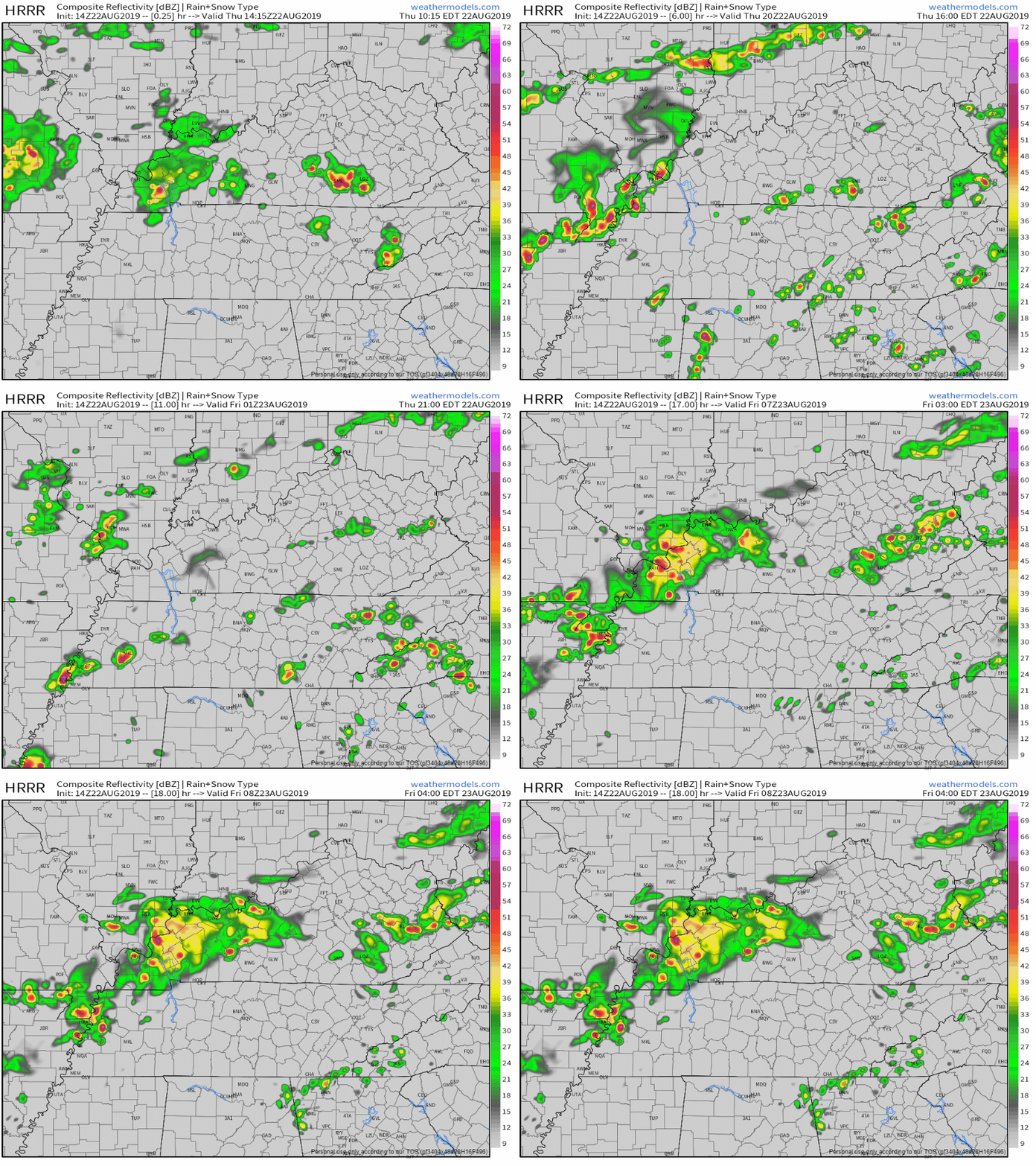
Yesterday’s storms did not move.
“No movement” storms are common in the summer. Mid and upper level winds that move storms have gone north.
So the storm’s entire life — and all its rain — gets one spot.
Editor’s Note: This morning’s Nashville weather balloon reported a dewpoint of 71° with CAPE 1,018 j/kg and PWAT of 1.96″. That’s nerd talk for a lot of moisture available to create rain. It’s more than yesterday morning.
We needed the rain, but the timing is pretty bad. It couldn’t have waited until the work-week?
Embrace uncertainty and read below.

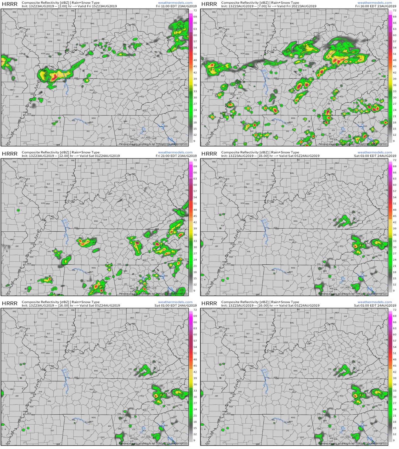
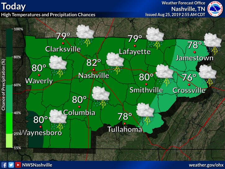
Scattered showers and thunderstorms will continue to impact the area throughout the weekend as an upper level low pressure system sits over Tennessee.
. 
We are currently under a Flash Flood Warning for Davidson County from the NWS for this afternoon until 12:30CDT. Some areas have already seen over 2″ of rain and will see more over the next few hours. If you’re out and about remember NOT to drive through standing water and to “Turn Around, Don’t Drown.” Keep following our twitter for more updates on the Flash Flood.
You must be logged in to post a comment.