
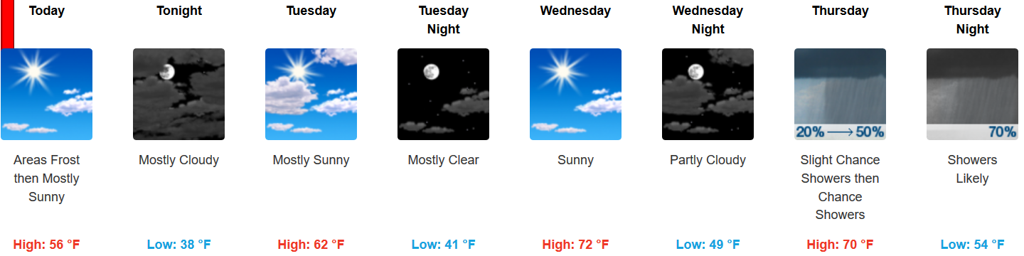
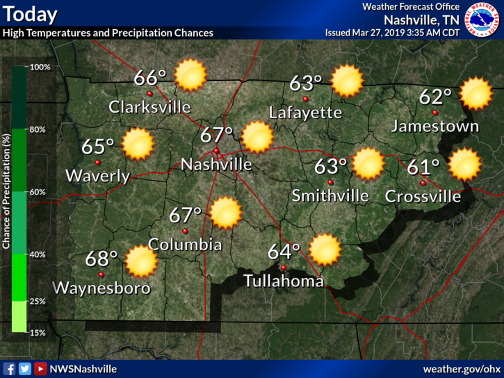
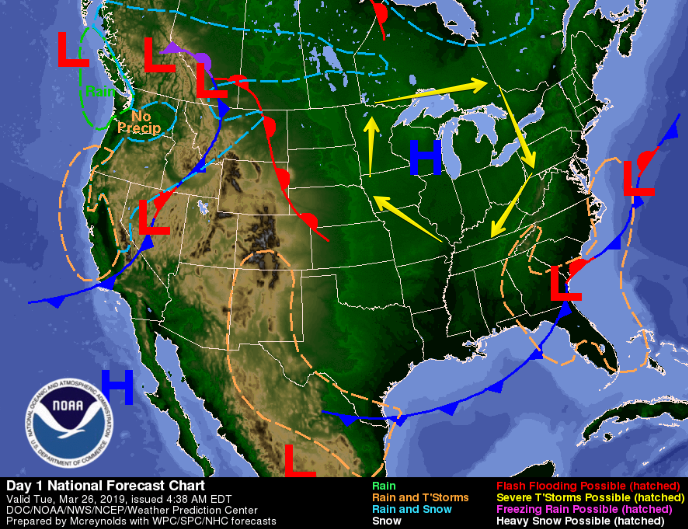
On and Off Rain Today
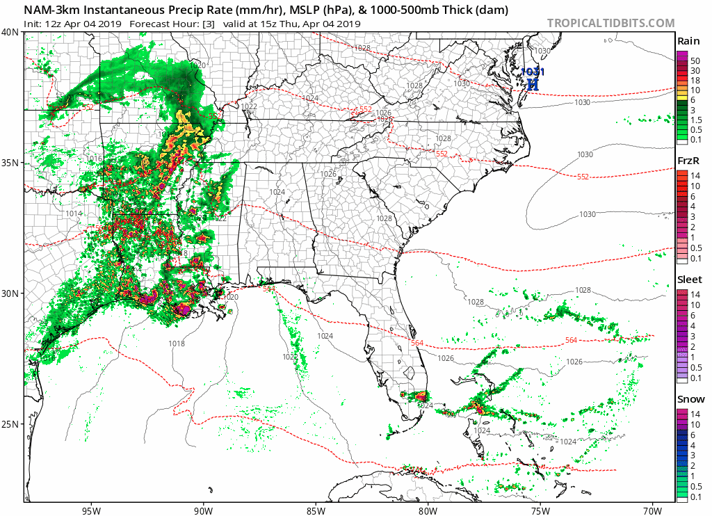
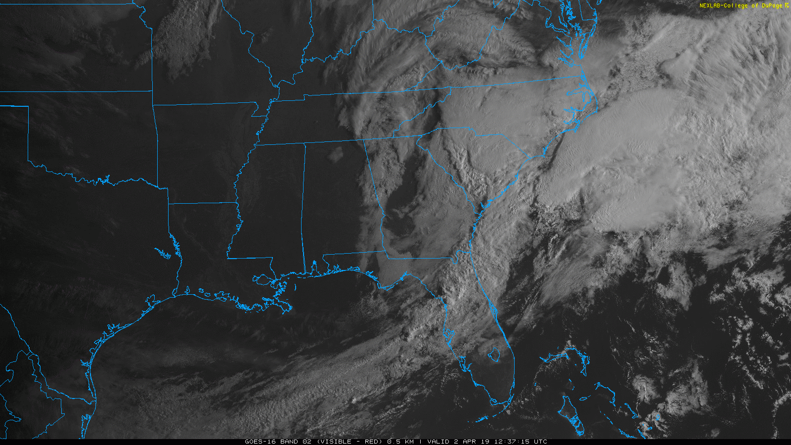
Our dry, sunny skies have moved on to the east, pushed out by clouds and rain. The NAM 3km below shows the widespread rain that’s taken over the southeast.
Even with rain and clouds, our high temp will warm into the low 70°s by the afternoon.


You must be logged in to post a comment.