
That was quite the evening of severe storms last night.
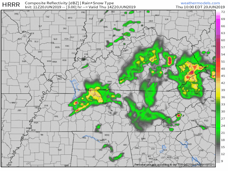
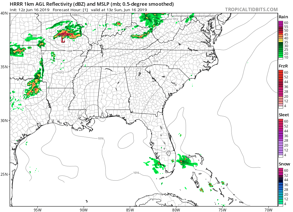
North Nashville storms before 8 AM should drift north and out of our area.
THURSDAY – FRIDAY MORNING
Later this morning,
further development in west TN and persistent [model] guidance suggests that more scattered [storms] will continue from mid morning through the early afternoon…especially for locations along and north of I-40. This will be monitored over the next few hours, but the severe threat should generally remain low. . . . Most of us will dry out by mid afternoon and early evening, remaining dry through the first half of Friday. (NWS-Nashville).


You must be logged in to post a comment.