Today’s depressing cloud blanket turns rainy and maybe stormy tomorrow, you came to the right place for details.
Rain Wave #1: Timing
The NAM3 model thinks light rain while we sleep then heavier rain begins around 11 AM and ends around 4 PM or 5 PM:
Today’s depressing cloud blanket turns rainy and maybe stormy tomorrow, you came to the right place for details.
The NAM3 model thinks light rain while we sleep then heavier rain begins around 11 AM and ends around 4 PM or 5 PM:
When the clouds thin out we should warm up to around 72° this afternoon.

Tuesday our rain chance begins, but just a chance; rain is unlikely. Weather models think most of the area will stay dry until Wednesday. Up to around 73°.
. . . but who sees clearly round the horizon, who can number unseen shrubs, coyotes, birds and streams before you come around the bend, who can discern the future.

There are only clues.
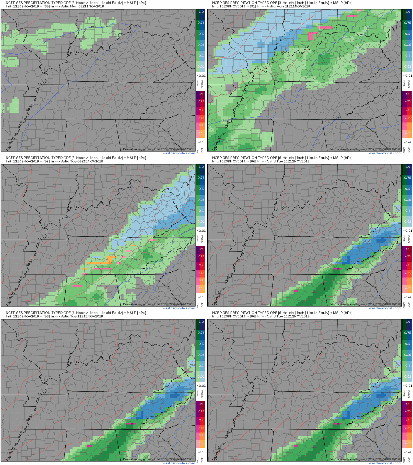
The first drops fall sometime during the day Wednesday because a frontal boundary gets stuck nearby with energy riding up it. Perhaps a half inch of rain midday Wednesday.
A Wind Advisory is in effect from 10 AM this morning to 8 PM CDT tonight. Winds from 15 to 25 MPH with gusts up to 40 MPH are expected around our area. Be sure to secure loose objects in your yard. Fallen tree limbs and a few power outages could happen as well.
Rain has already begun to move its way into Middle Tennessee. Widespread showers will continue to move into the area this afternoon, with some heavier pockets at times.
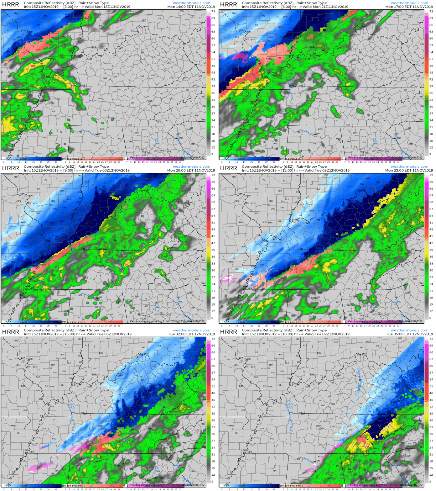
For the next few hours, here’s the HRRR:
Another warm and pleasant afternoon today! The last one this week, sorry to say.

Light rain will begin sometime around/after lunch Friday then continue throughout the day, becoming heavy at times through Friday night.
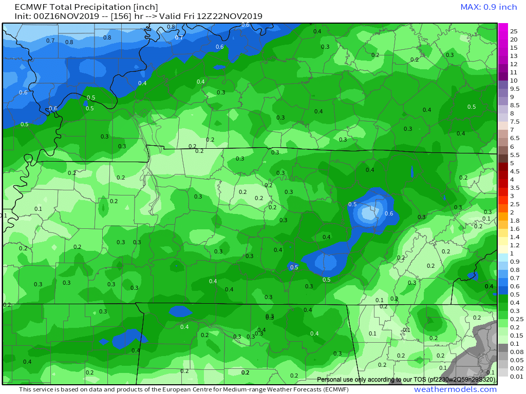
Pleasant today and Thursday with normal-for-October temps for the next 7 days. Then imagine a kinda chilly soaking rain event starting Friday (night?) and lasting into Saturday and maybe even into Sunday, gross.
Rain: passed.
Skies: mostly sunny.
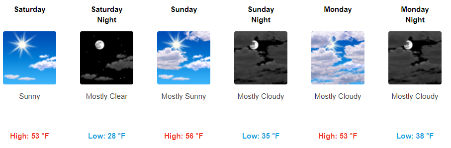
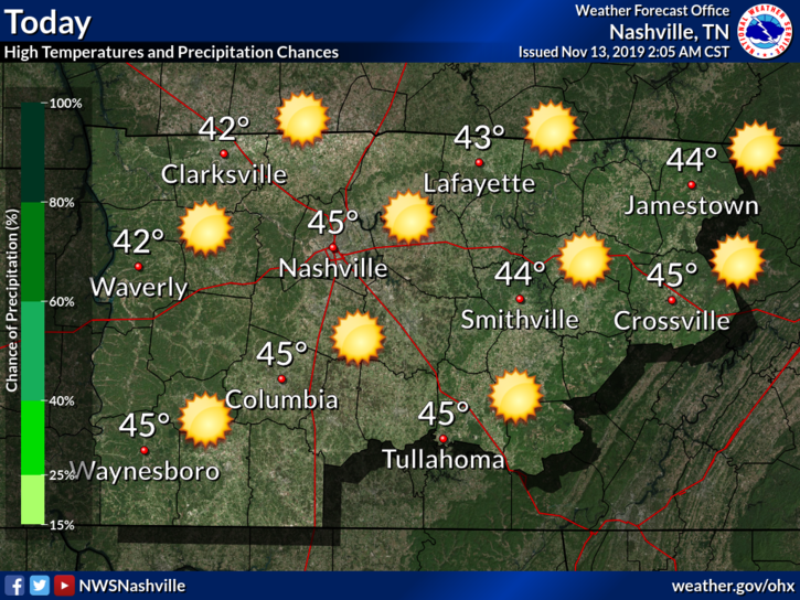
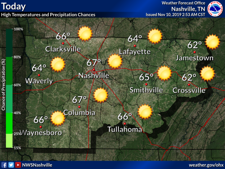
Overall, beautiful weather today with a high temperature of 67°.


High temperatures gradually warm back up to slightly above-average.
Low temperatures will be a little chilly, so be sure to pack a jacket if you leave for work early in the morning.
The storms that formed west of us have fizzled almost completely. This was expected to occur. However, the main front is still back to the west and could set off additional showers and thunderstorms as the day goes on. Instability (storm food) will be weak, so we’re not too worried about severe weather.
Overnight tonight into Monday morning, heavy rain, carrying potent tornado, hail, and damaging wind risks, will spread east from eastern Oklahoma into NW Arkansas.

This system is moving our way but will weaken substantially by the time it arrives Monday.
You must be logged in to post a comment.