The high temperature at Nashville so far is 97°. This breaks the record high for October by 3°. The high temperature at Crossville so far is 91°. The previous record for October was 86°, set multiple times.
Highs in the mid to upper 90s now through Thursday. Heat index near or just over 100° every afternoon.
For today and tomorrow…

(98° for those who didn’t catch the gif), muggy once again. No rain in the forecast…shocker.
High temps will reach 96° Sunday (record high is 98° set back in 1953). Heat index 98°. Touch of humidity (not oppressive).
What else is new?
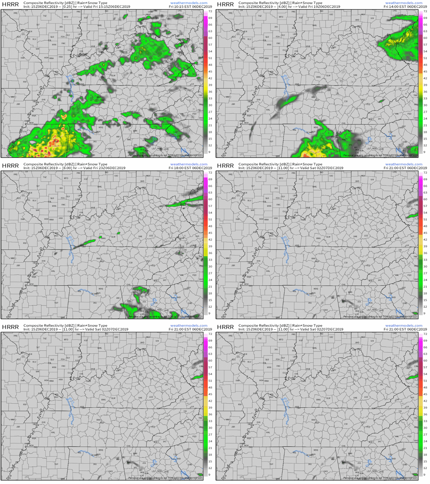
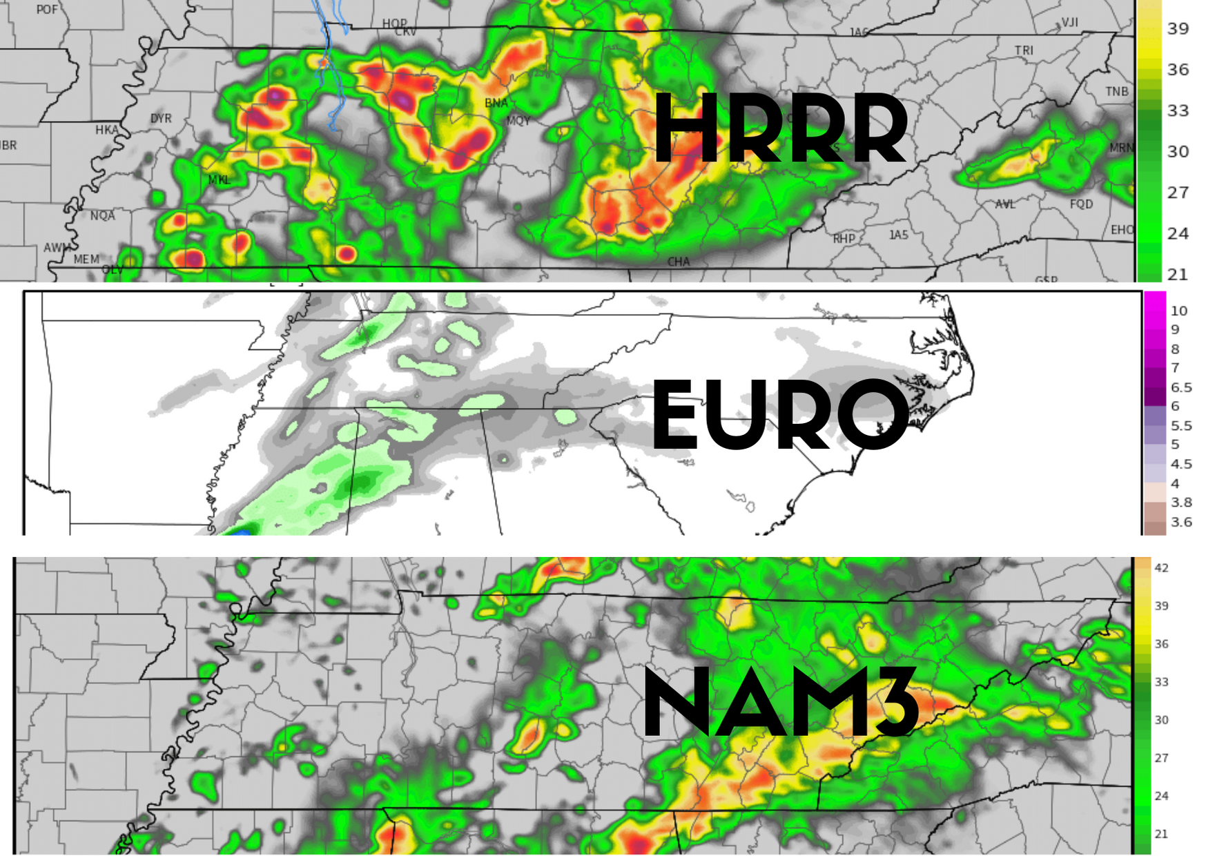
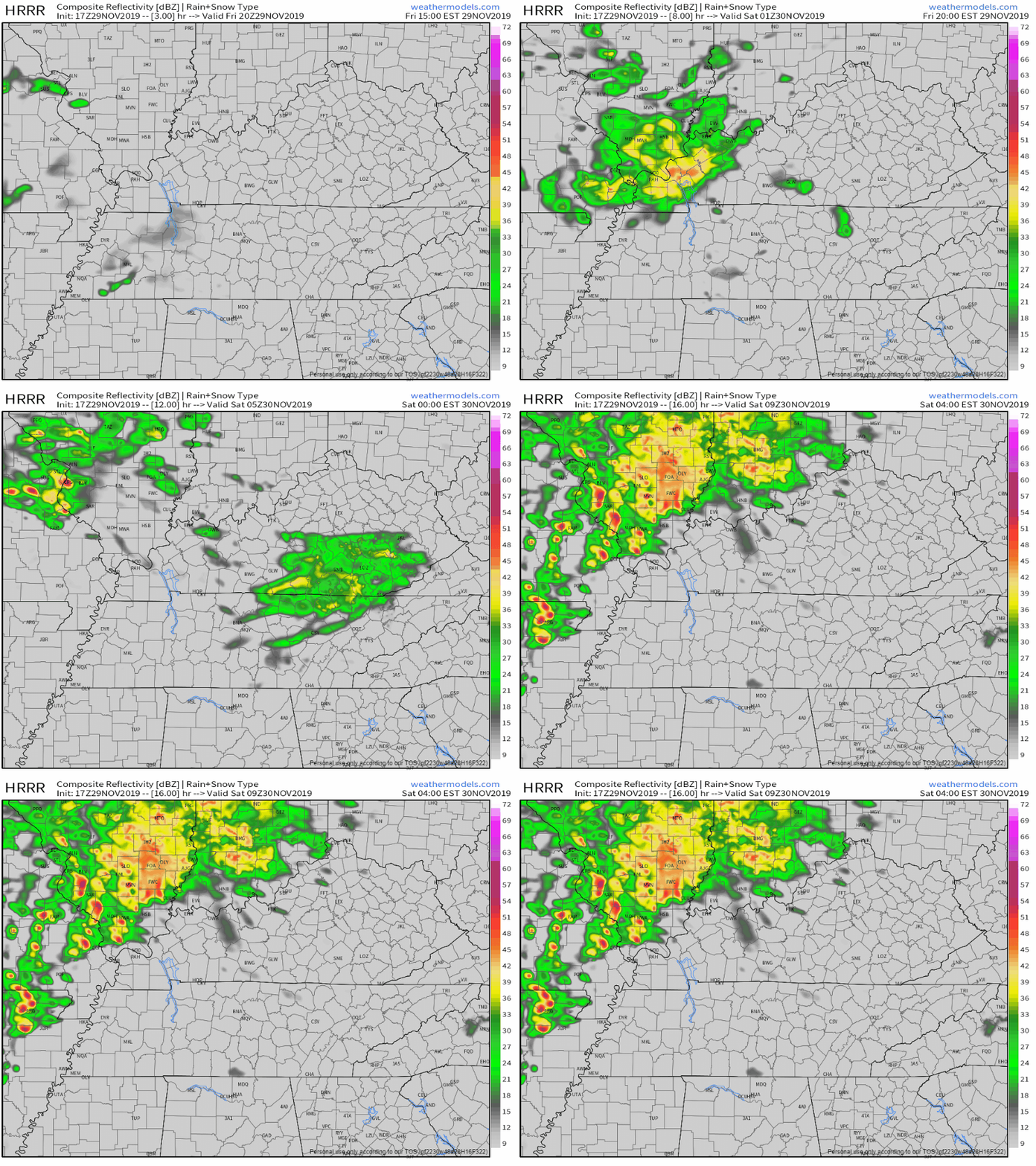
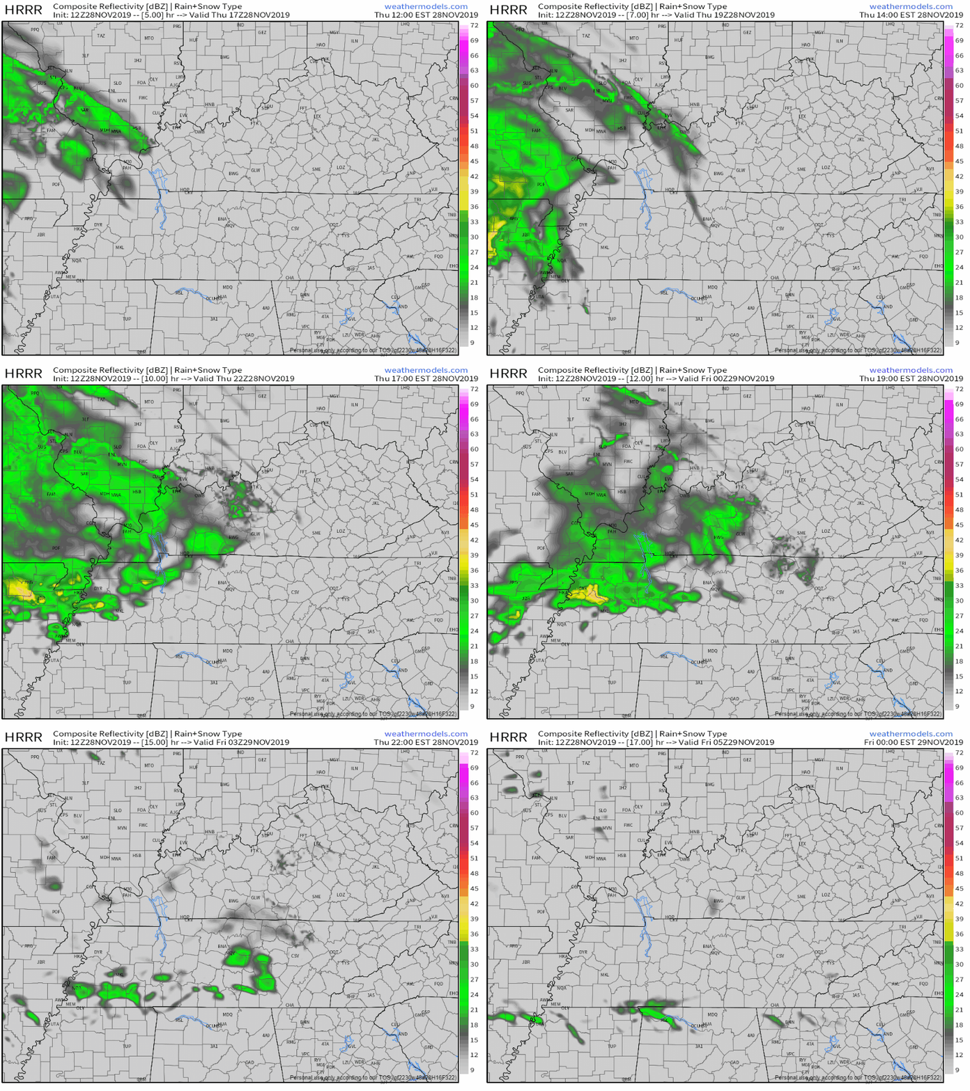
The HRRR model throws us widely scattered, brief showers, but I wouldn’t count on them.
You know how it’s the last weekend of September? Well, it feels like the second weekend of July.
Editor’s Note:

Highs today will approach the mid 90°s with dewpoints in the mid 60°s.


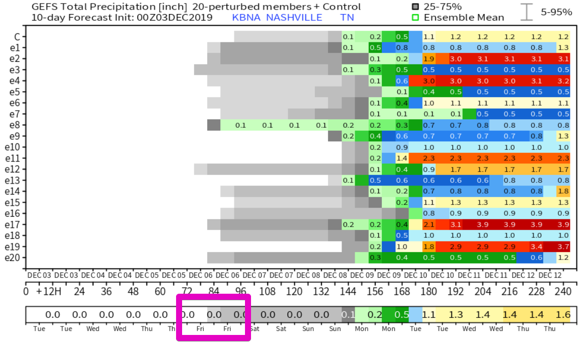
There are plenty of chances this week for some high temperature records to be broken with all forecasted highs in the mid 90s. Minimal rain chances through the week, not really any relief in sight. A strong upper level ridge boosts our temperatures mid week up to near 96°, making it feel like a July afternoon. The all-time record high for October, 94°, has a good chance of being snapped later on this week.
Good news: At the time of this post, we have rain moving into the area. It isn’t a lot, but it’s something.
For radar updates, check out our Twitter page @NashSevereWx. Or, go to nashvillesevereweather.com/realtime.
Tonight's rain fizzling, Thursday morning rain amounts vary dramatically by weather model, after that hot the rest of the month. Deeets ⏬ https://t.co/lfehyETKnH
— NashSevereWx (@NashSevereWx) September 25, 2019
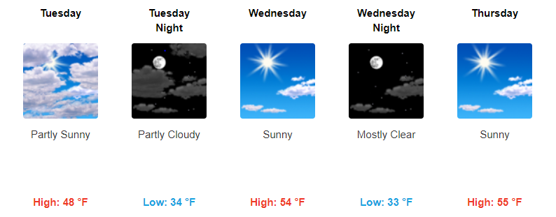
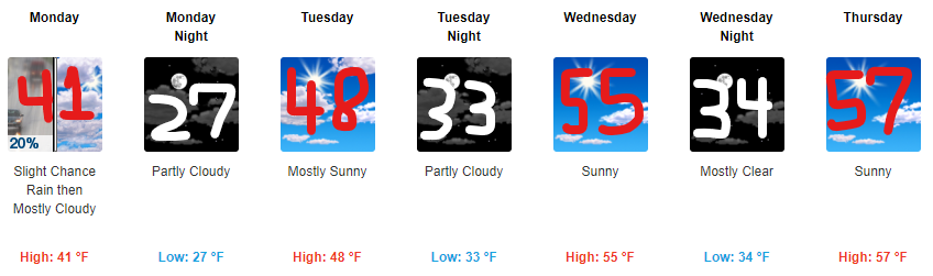
Humidity left. Dew points in the mid 40°s — fall quality! — but temps remain above normal for late September with mid/upper 80°s.
Wednesday will be nice.
Showers arrive maybe Wednesday night but probably Thursday morning as another cold front moves into the region.
At least it’s something?
These aren’t pop up storms, instead a weak cold front is moving through today, setting off this rain.
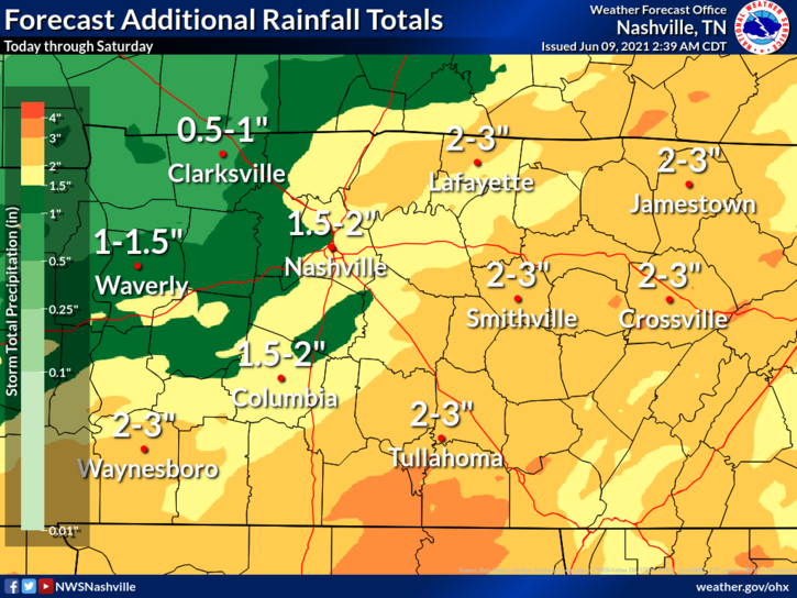
NWS-Nashville predicts less than .25″, with most areas receiving less than .10″. Your backyard could see more, some could see less; either way it’s not a lot. This will do little to cut into our monthly deficit.
Fires can spread quickly this afternoon.
Dewpoints are likely to drop into the mid 50s later today, and with winds speeds picking up and pretty dry ground conditions, marginal fire danger is likely this afternoon. •NWS-Nashville
You must be logged in to post a comment.