
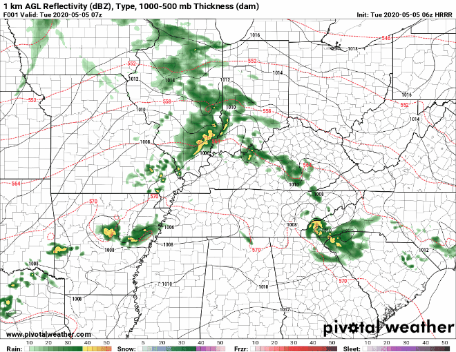
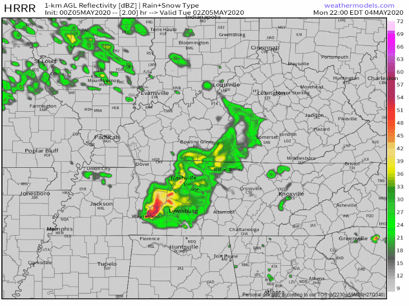
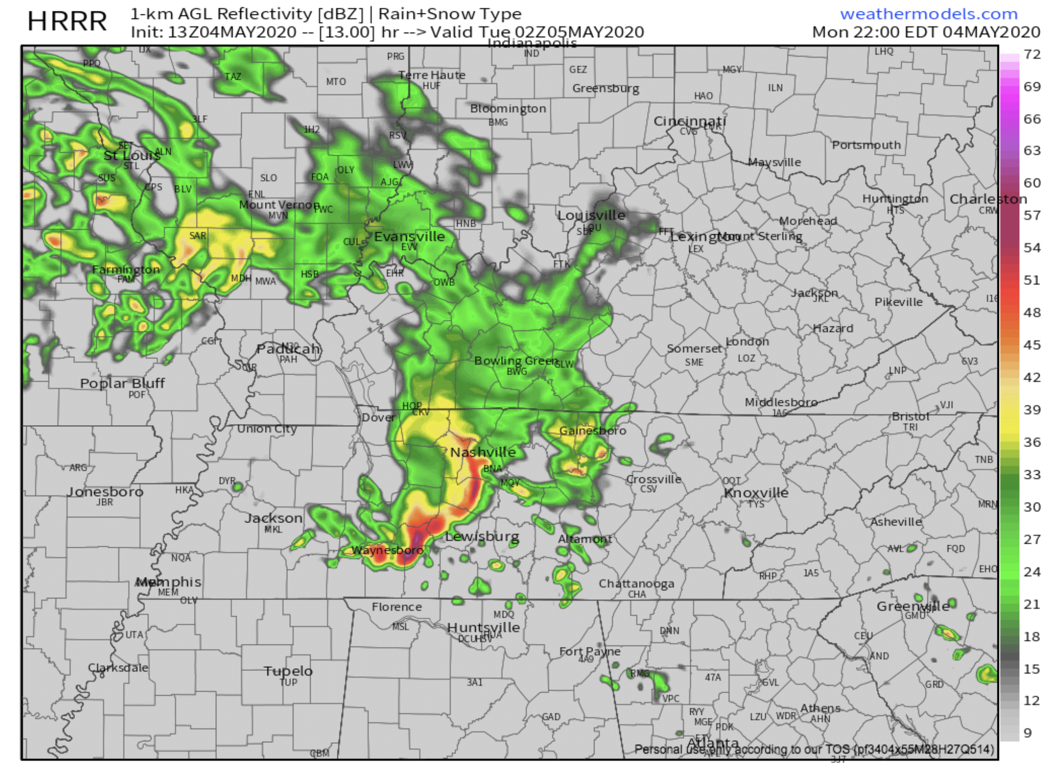
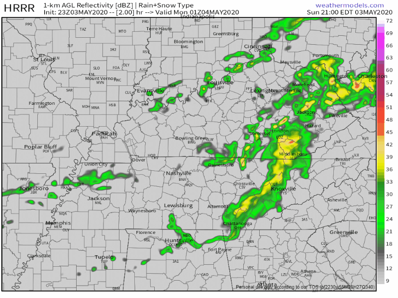
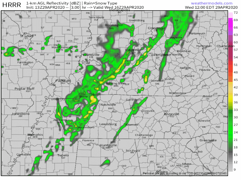
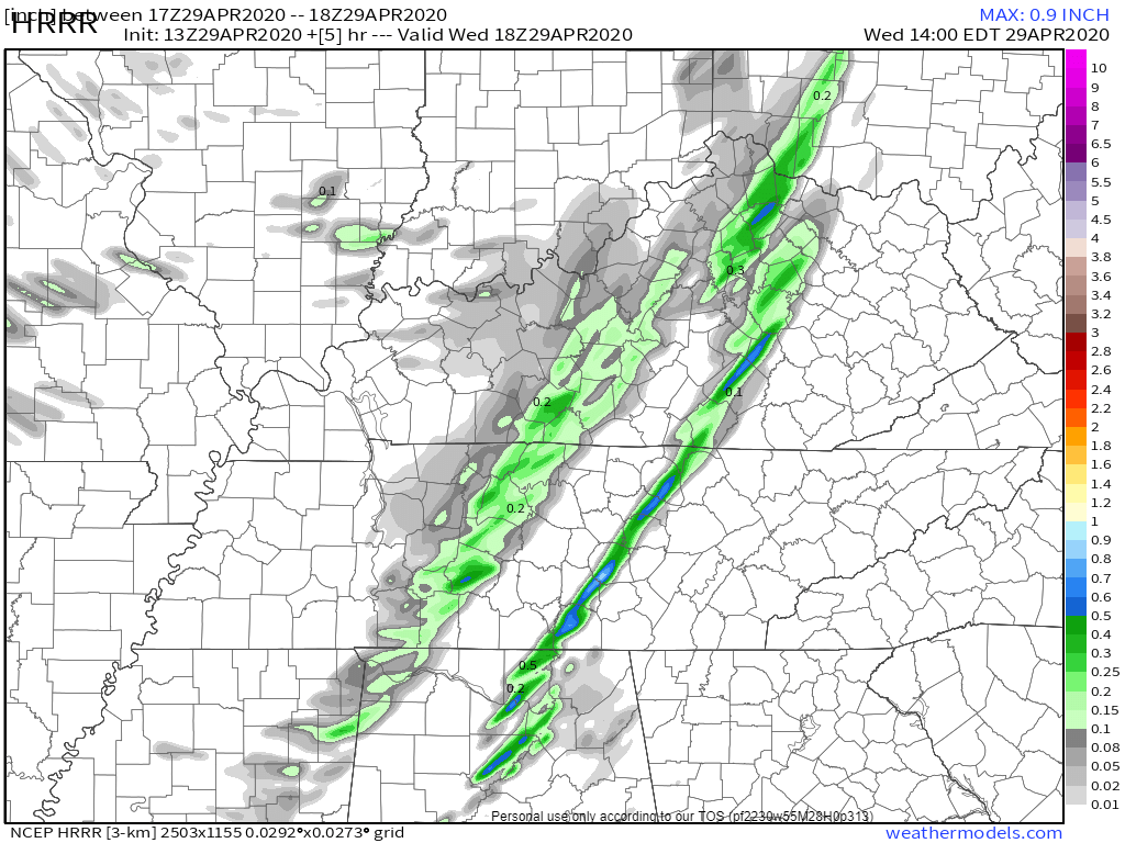
After the past two rounds of severe storms that have come through the area, we’re finally getting a breather.
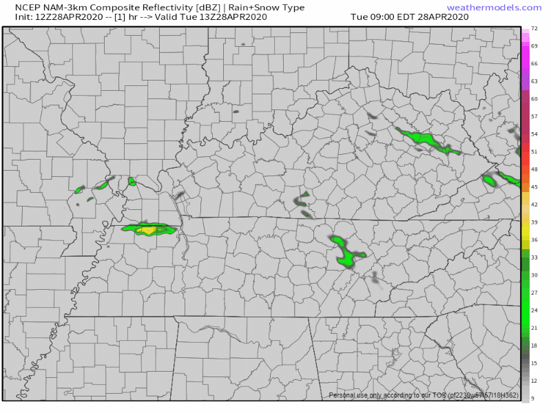
There will be a cold front passing through today during the morning and afternoon hours, which will bring us some spotty showers. Rain chances will diminish overnight.


You must be logged in to post a comment.