This morning, a frontal boundary parked south of us. We’re on the northern, dry side of it. Behold mid-level infrared satellite images this morning. The coral, orangy stuff is the drier air. Green is the rainy air.
Dodging Late Afternoon Storms; Mostly Dry Sunday; Clear But Hot Start To The Week
Attending an outdoor event tonight? See below for details:

A weak surface boundary has set up to our northwest (above – traced in white). It’s going to push southeast during the day, bringing afternoon rain/storms to Middle Tennessee.
Rain/Few Storms Today; Heat And Humidity Return For Weekend
Rain With A Few Storms
A shortwave trough will push the stalled front through Middle Tennessee today, causing some showers/storms throughout the day. We could see 0.1″ to 0.3″ of rain here in Nashville, but local amounts should be higher if you’re caught beneath a downpour.
0.25″ to 0.5″ of Rain Today, More Tomorrow, with Locally Higher Amounts
Thursday & Friday

Showers and thunderstorms are expected today as the unsettled pattern continues and Nashville. The front that pushed through the area yesterday has stalled and giving us a chance of rain all day today. Here is more from NWS Nashville:
Finally, Some Rain!
Wet Morning
As I write, a line of heavy rain and gusty winds is passing through. Follow us on Twitter for the deets.
This storm formed thanks to a weak cold front over the Mid Mississippi River Valley – both associated with a larger scale trough crossing the Great Lakes.
Afternoon Storms Possible Again Today; Rain Likely Later This Week
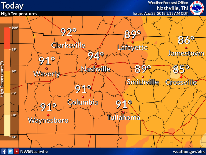
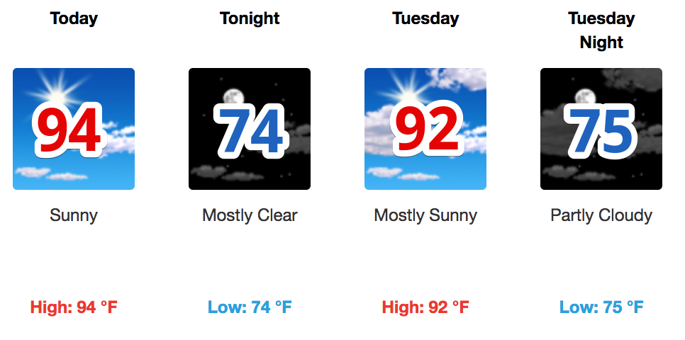
Summertime heat has returned and we are going to feel every bit of it today. The high temp will hit close to 95°, with heat index values pushing into the upper 90°s.

Any rain showers or storms popping up over us will be caused by daytime heating and the breaking of the cap. Where they’ll form is anyone’s guess. The HRRR (below) takes its shot at a prediction.
Typical Summer Week Ahead, feat. Rain
Monday
Looking at a high of 92º today with a heat index in the mid-to-upper 90ºs. popcorn shower and storms. Not everyone will see one, but if you do, be prepared for heavy rain and gusty winds. Chance of rain is at 30%.
Rain This Week. Some Of Us Need It.
I found my contact. It fell on the floor. I washed it then located my glasses.

That mid-afternoon thunderstorm did this:
Lighting strike in Wedgewood Houston pic.twitter.com/I6ZRoLoXPC
— Kyle Yates (@kyledyates) August 5, 2018
Humidity Up, Afternoon Rain, Thunderstorm Possible.
I’m writing via Chromebook in an Atlanta hotel. Not optimal. I’ll be light on graphics this morning.
Today’s dewpoint will climb close to 70. That’s near-oppressive humidity.
Today’s high is 93. Add that to a more humid airmass and you get a heat index up to 97 this afternoon.
Hot This Evening, Rain Chances Return Sunday and Through Mid-Week
Hot This Afternoon
At the 4:00 pm observation at BNA this afternoon, the temp was 94° with a dewpoint of 62°. It’s hot! Temps should cool to 72° tonight with rain chances very low, although a few spotty showers aren’t out of the question.
You must be logged in to post a comment.