
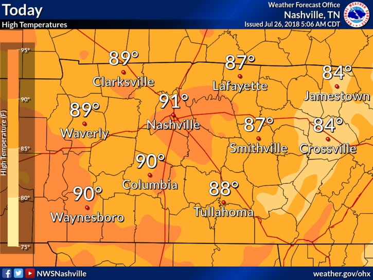
High temps will stick close to 87° today, dewpoints are holding steady in the upper range of uncomfortable.
Dodging Showers
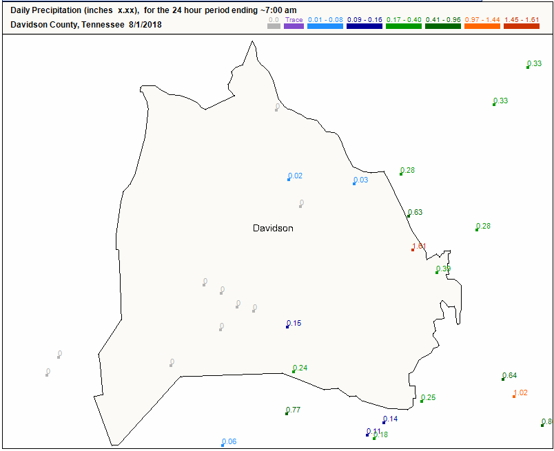
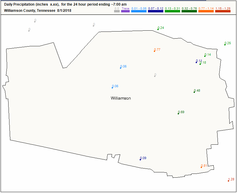
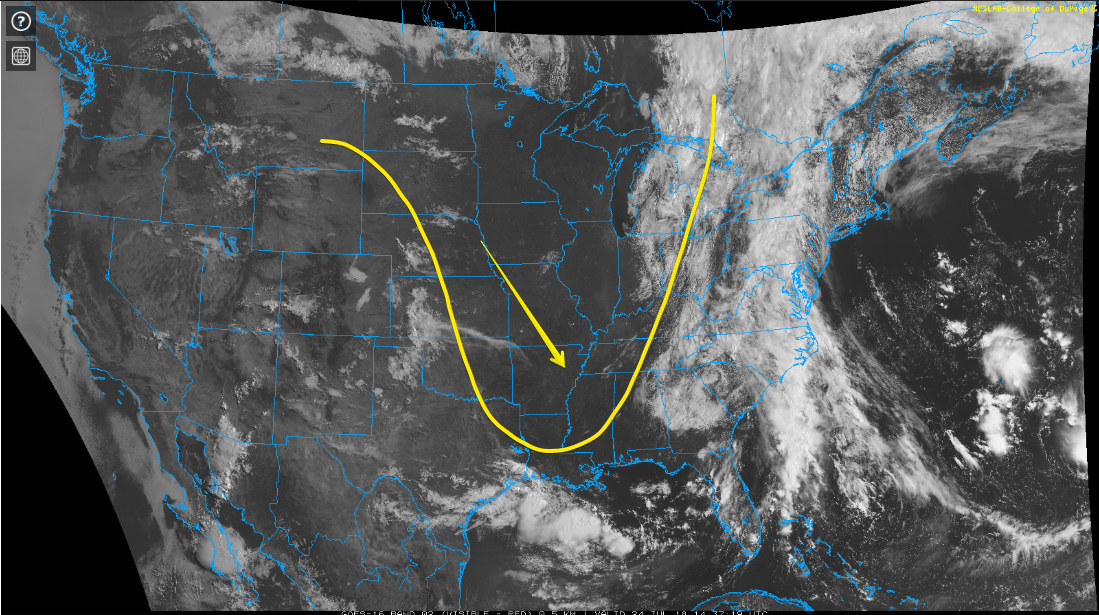
We’ll experience a typical hot, humid, summertime storm pattern today. The HRRR (below) has a few storms going up over Davidson and Williamson counties in the early afternoon.


You must be logged in to post a comment.