

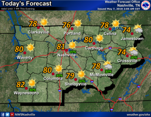
Iroquois Steeplechase Today!
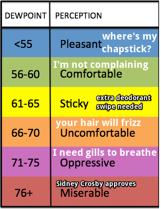
Hot today, tolerable humidity
The strong ridge of high pressure has really settled in over our area enhancing a southerly flow and keeping cloud-cover low. These conditions are going to let our temps to creep upwards close to 90. We are on a direct course to come close to 90 degrees today.
You must be logged in to post a comment.