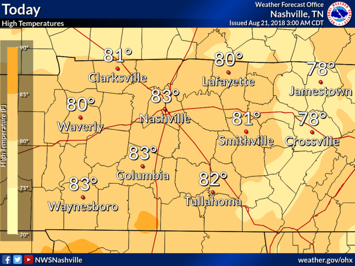
The forecast is essentially the same every day this week.
What We Know
Hot every day this week. At least 90°. More clouds, and the temp will get closer to 90°; fewer clouds and it’ll get closer to 95°. Today looks like a “fewer clouds” day.
The forecast is essentially the same every day this week.
Hot every day this week. At least 90°. More clouds, and the temp will get closer to 90°; fewer clouds and it’ll get closer to 95°. Today looks like a “fewer clouds” day.
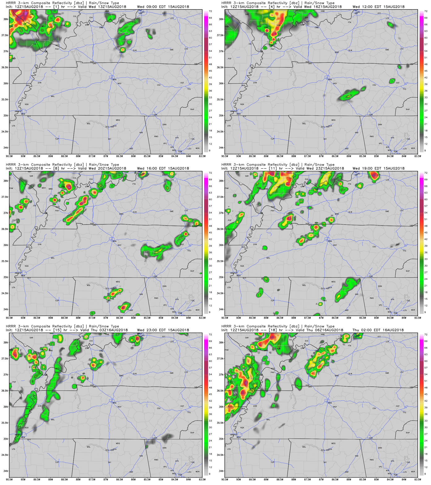
Large hail was the big hazard yesterday, from Nashville to East Nashville, and Franklin to Thompson’s Station.
And I think we had a microburst.
Southwest of Franklin, winds likely 60+ MPH resulted when a tremendous amount of water dropped quickly from the sky. Residents said it wasn’t raining, then suddenly a massive amount of water and wind came all at once. The water flooded a garage as strong winds swept through in a straight line, dropping these very large branches on cars (note this was after the bigger trees limbs had been removed)…
Sooooo hot today through this weekend. Mid 90°s temps. Heat index 97° today, 98° Saturday, and up to 100° Sunday. This heat index rise is due to higher temps and slightly lower dewpoints, but let’s not pretend it’s “dry.” It’s not. Still humid. Still hot.
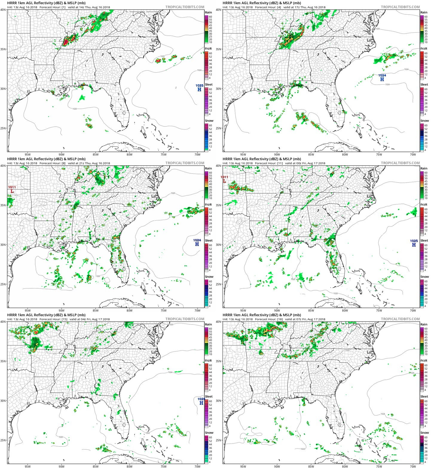
High pressure is going to dominate and will hang around through the weekend, keeping rain chances very low.
Patchy fog is possible early Friday morning.


The bubble of high pressure will not only keep storms away, but will also keep clouds away in general. This will allow for temps to climb back into the mid to upper 90s, and the dewpoints will begin their march closer to the low 70s. This combo could put the heat index/real-feel close to 100.
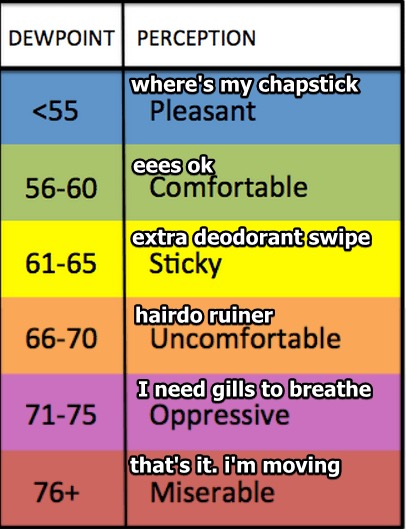
Early this morning, things are relatively quiet in middle Tennessee. The sun is out, and temps will climb through the morning. Our high is expected to stay just beneath 90 degrees, but some places could reach that mark. Dewpoints are still in the upper 60s and low 70s. You may need to grow gills to breathe today. Visible satellite loop from this morning…
There will be no need to go to the Gulf coast for your heat and humidity this week because it’s all heading north up I-65 into Nashville.

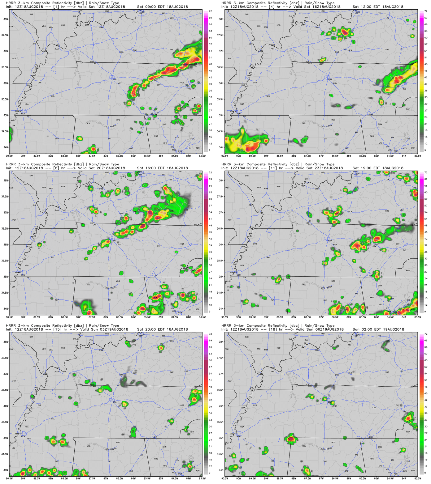
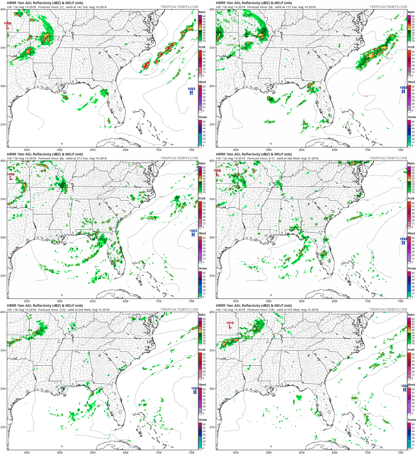
Every single day this week will have pop-up showers and storms somewhere in Middle Tennessee as temps and dew points climb.
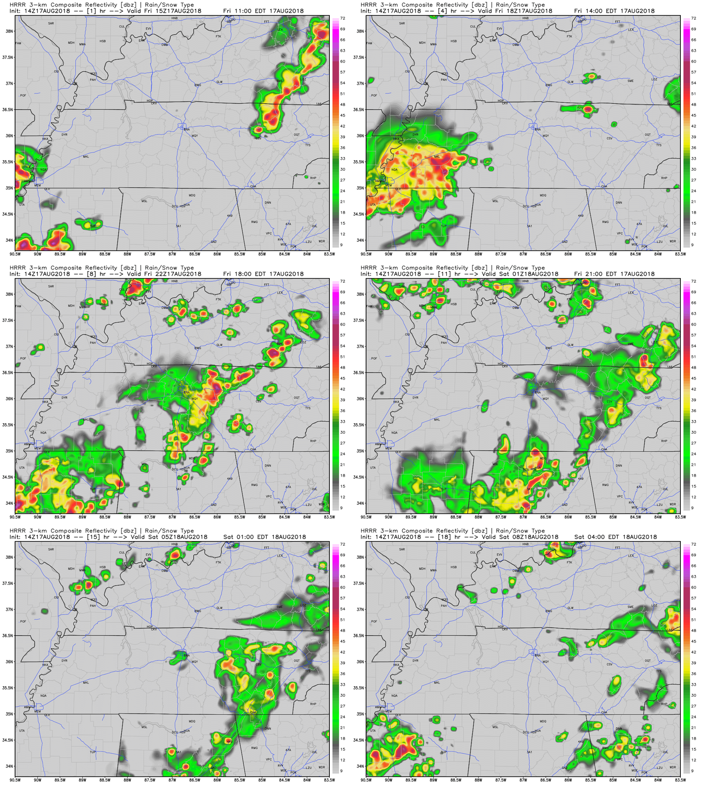
The forecast this morning was, um, well, yeah it wasn’t great. We thought the AM rain would sap all the water out of the atmosphere and prevent PM rain and storms from forming.
Wrong. (In our defense, we wrote it “should stymie any afternoon/evening development,” not that it “would,” but whatever, let’s call that what is was:
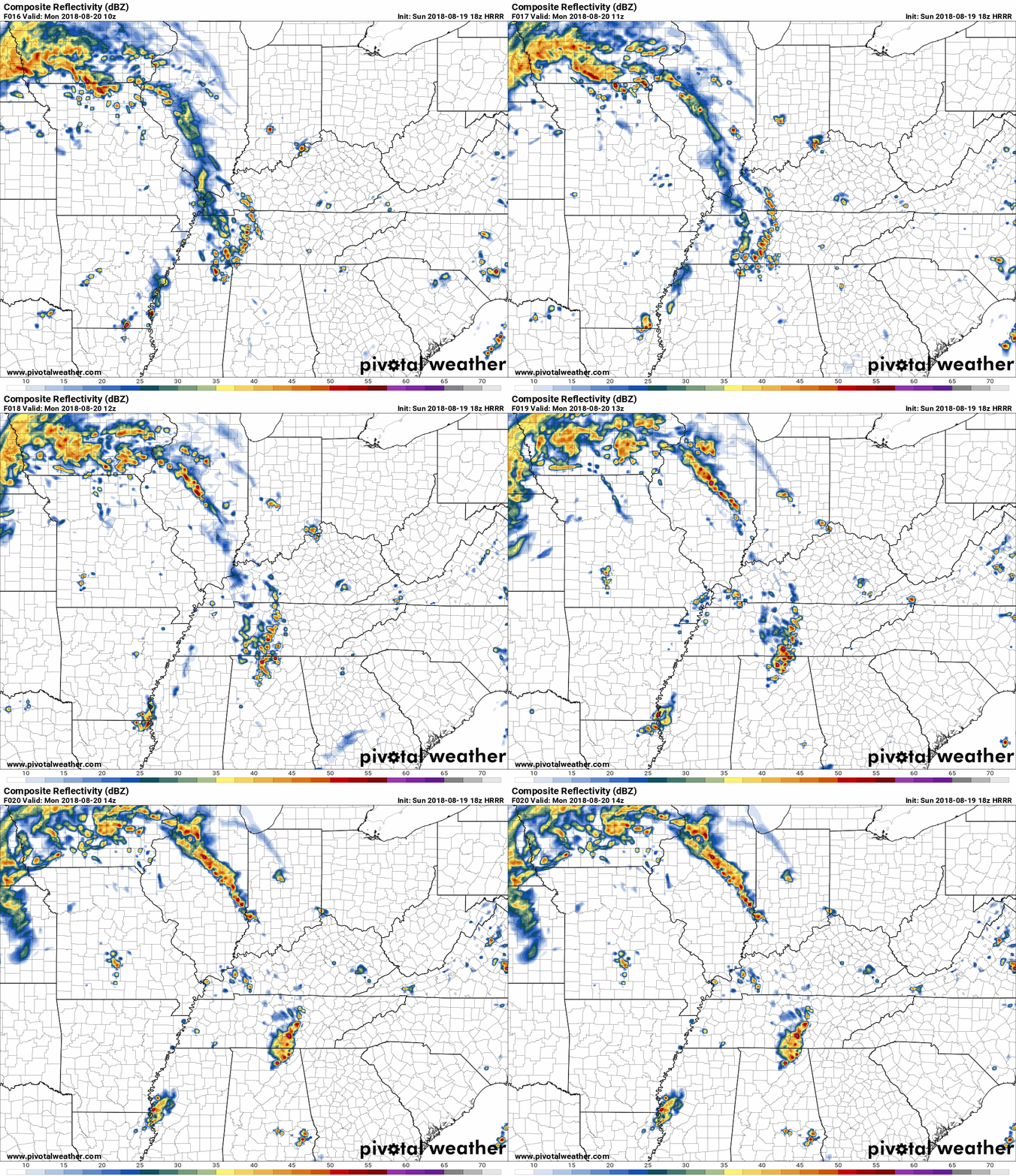
Slow moving rain is here with a few thunderstorms about to crawl through both our counties as I write this after 6 AM.
Lightning, obviously, is bad news. It’s cloud to ground and frequent in Ashland City and likely to move into Nashville and the most populated area in Middle Tennessee as you’re reading this. Probably many of you are reading this and it’s already happened, you slept through it, congrats!

That means ground level ozone concentrations may approach or exceed unhealthy standards. The general public is not likely to be affected. Active children and adults, and people with a respiratory disease such as asthma, should limit prolonged outdoor exertion.

NOTE: Air Quality Alert today.
Hello, humidity! Dew points are going to creep back up into the mid-60s today as high temperatures continue to creep up into the mid-90s.
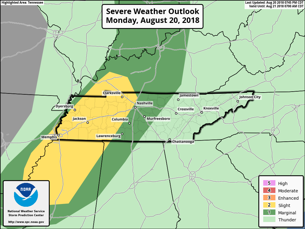
Later today, a frontal boundary will begin to approach Nashville and middle Tennessee. It may stall out just before it reaches Williamson and Davidson County areas, setting up for a weekend of dodging showers and storms.
You must be logged in to post a comment.