
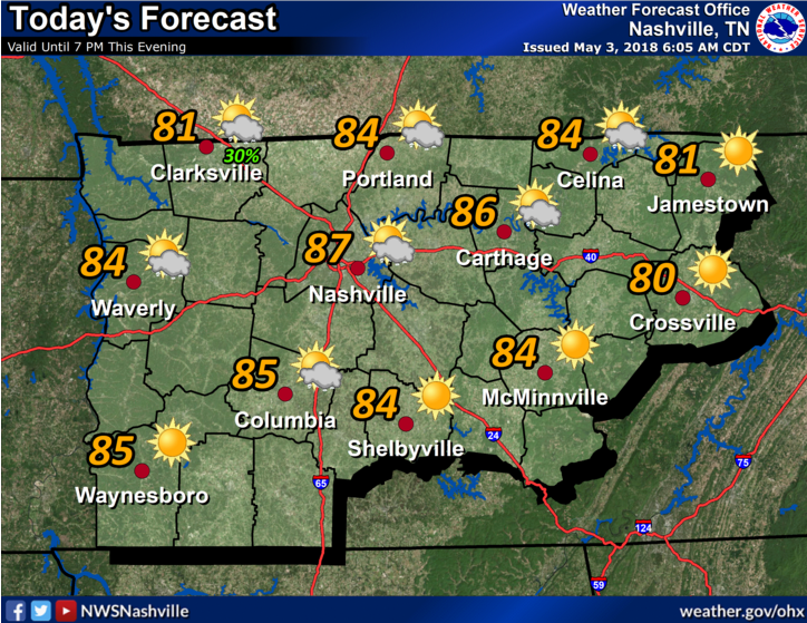
It’s sunny now. Expect temps in the 80s.
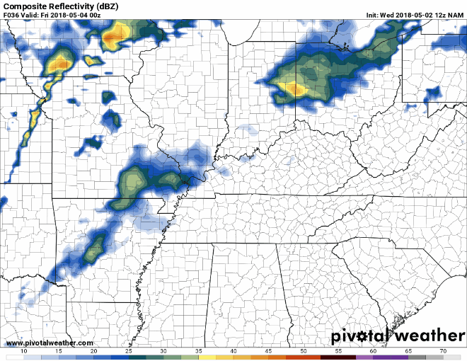
Sunshine may not last all day. We may see a few waves of rain and storms tonight.
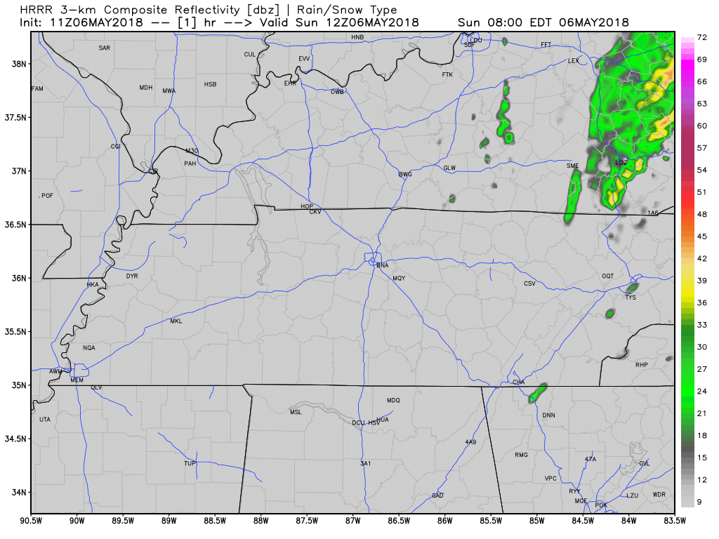
The HRRR model thinks rain with a few thunderstorms will race in from the north early this evening (5 PM or 6 PM or so), and again before midnight.


You must be logged in to post a comment.