
On and Off Rain Today
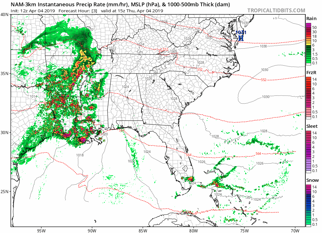
Our dry, sunny skies have moved on to the east, pushed out by clouds and rain. The NAM 3km below shows the widespread rain that’s taken over the southeast.
Even with rain and clouds, our high temp will warm into the low 70°s by the afternoon.
Timing:
We’ll have on and off rain starting this afternoon and evening. Our air is really dry as of 11:00 am, so it will take a few hours for rain to really be able to reach the ground.
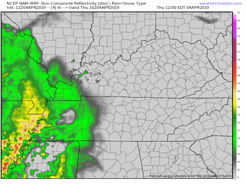
Light rain now in W TN, but we’re still really dry. HRRR model now thinks rain may defeat the dry air and reach the surface as early as 3 PM. Rain chances increase through the afternoon, and it should be raining tonight. pic.twitter.com/i0WV4szB9g
— NashSevereWx (@NashSevereWx) April 4, 2019
A few storms could roll through in the late-overnight ours. Not expecting anything severe, maybe a few rolls of thunder. The low tonight should be around 56°.
Start to your weekend looks nice!
Rest of the rain will fizzle out Friday morning. Our high temp will warm into the low 70s, and after sundown we’ll slowly cool into the mid 50s with skies clearing.
Friday night is the sweet spot for outdoor activities, as rain will likely return Saturday evening.
For Saturday, the story remains much the same, just warmer by a few degrees. Partly cloudy skies and a south wind will will help to push high temps into the upper 70°s.
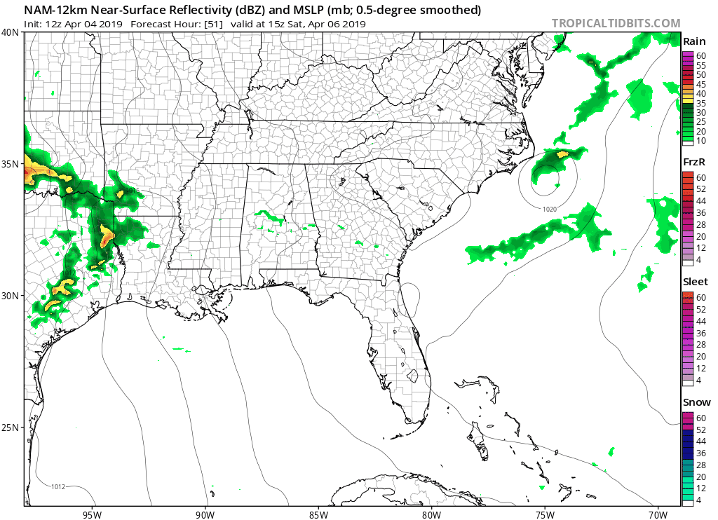
We could see rain return for Saturday evening. NAM (above) shows a few storms sweeping through Middle Tennessee. If you’ve got outdoor plans Saturday afternoon, keep in mind rain could arrive just in time for sundown.
Sunday – Tuesday

A large upper-level trough will setup to our west and slowly move east. It’s going to bring rain chances into the forecast for Sunday through Tuesday, but as of right now we’re too far out for specifics.
As for now, break out that umbrella and keep it close for the coming days!

Categories: Forecast Blogs (Legacy)
You must be logged in to post a comment.