
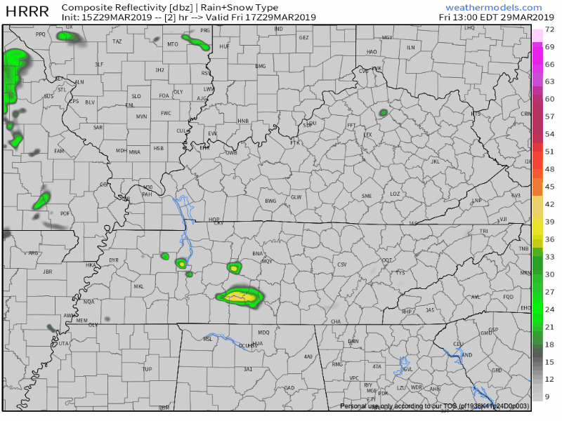
On and Off Rain Today
We saw some rain this morning and we may not be done. On and off showers are possible across Williamson and Davidson Counties this afternoon as we stay locked in under overcast skies.
You should still expect high temperatures to reach the low to mid-70s prior to sunset. The only type of jacket you may need today is a rain jacket. Overnight low will be in the upper-50s.
Saturday Rain
A cold front will push through on Saturday. Any severe weather risk that we had yesterday (which was meh anyway) has shifted south. No real concern for any damaging winds or hail around Nashville.

That being said, a strong thunderstorm or two can’t be ruled out. Here is what NWS Nashville said about that this morning:
It seems the area will have a small window where a strong thunderstorm or two is possible. This will likely be in the afternoon/early evening east when lower end LL/ML jets cut across the region and CAPE peaks 500-1000 range.
The heaviest of the rain will show up after 5 PM tomorrow and will last past sunset, according to this morning’s run of the HRRR:
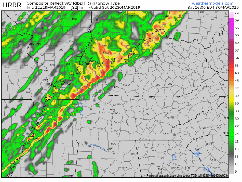
The NAM agrees with the HRRR for the entire length of the HRRR and gets all of the rain out of here by Sunday morning.
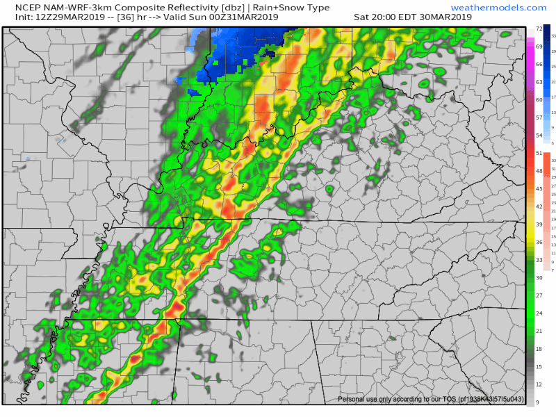
All in all, the NWS Nashville office still things we will only get between a quarter and a half of an inch of rain.
Cold Front Takes Over Sunday
After the rain is gone, cool, dry air will invade Middle Tennessee overnight. Sunday’s high will warm into the mid 50°s with morning lows below freezing Monday morning.
Definitely a chilly start to the week. Check back to @NashSevereWx on Twitter for updates!

Categories: Forecast Blogs (Legacy)
You must be logged in to post a comment.