
Warming trend continues today with clear, sunny skies. High temp in the mid 60°s. Weak high pressure is building in, cutting off any chance of rain this afternoon/evening.
Wednesday – Several Degrees Warmer
High pressure will be in control most of Wednesday. No rain expected; sunny in the morning, clouds taking over in the evening.
As a low pressure system organizes in the southern Plains on Wednesday morning, a warm front will lift through the Midstate. This will usher in warmer temps – afternoon high in the low 70°s – and thick, overnight cloud cover.
Thursday Storms (?)
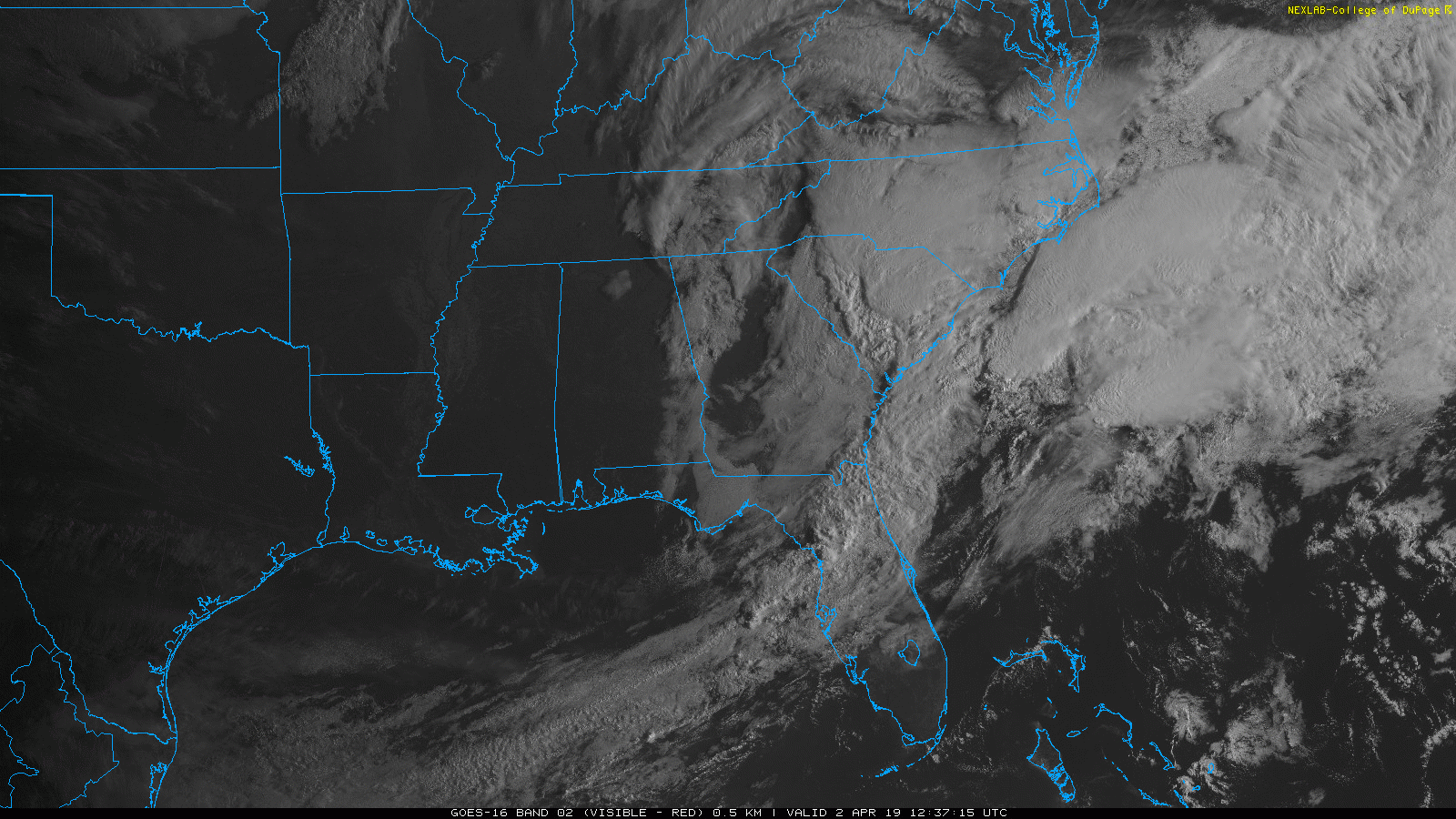
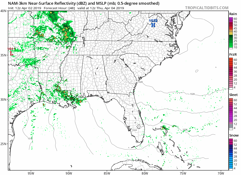
A line of heavy rain with some storms possibly mixed in should push through Thursday afternoon/evening. NAM3 model is below. Severe weather is unlikely Thursday evening, but a few storms are possible.
Rainy Weekend Ahead
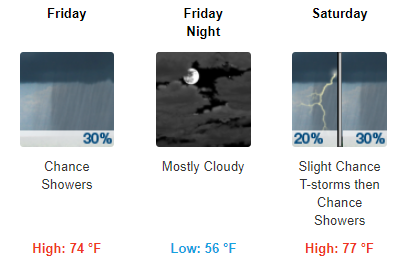
Upper-level weather pattern remains warm and rainy after Thursday. A few showers could linger around early Friday with high temps warming into the mid 70°s.
Friday evening should be free of rain, but pack an umbrella if you plan to head out this weekend.
Scattered showers will hang around for Saturday and Sunday, with each day seeing temps in the upper 70°s. Rain most likely Saturday night into Sunday. Early Saturday may be OK.

We’re watching for the possibility of rain/storms in the early part of next week. As we receive updates, we’ll pass those along here and on Twitter @NashSevereWx.

Categories: Forecast Blogs (Legacy)
You must be logged in to post a comment.