

Intern 4.0 here, a special thanks to David, Will, and Andrew for letting me make a “guest” appearance on today’s blog.
Dreary Conditions Continue Today
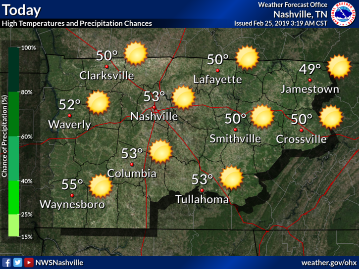
Technically speaking we have a very slim chance of a scattered shower this morning, but so far showers have stayed well to our south. So I wouldn’t count on any showers, but be advised if you were to feel a sprinkle or two. As you head outside this morning, you may notice the abundance of clouds overhead. Visible satellite imagery shows the sun rising over these clouds, even if we can’t see it here in Middle Tennessee.


You must be logged in to post a comment.