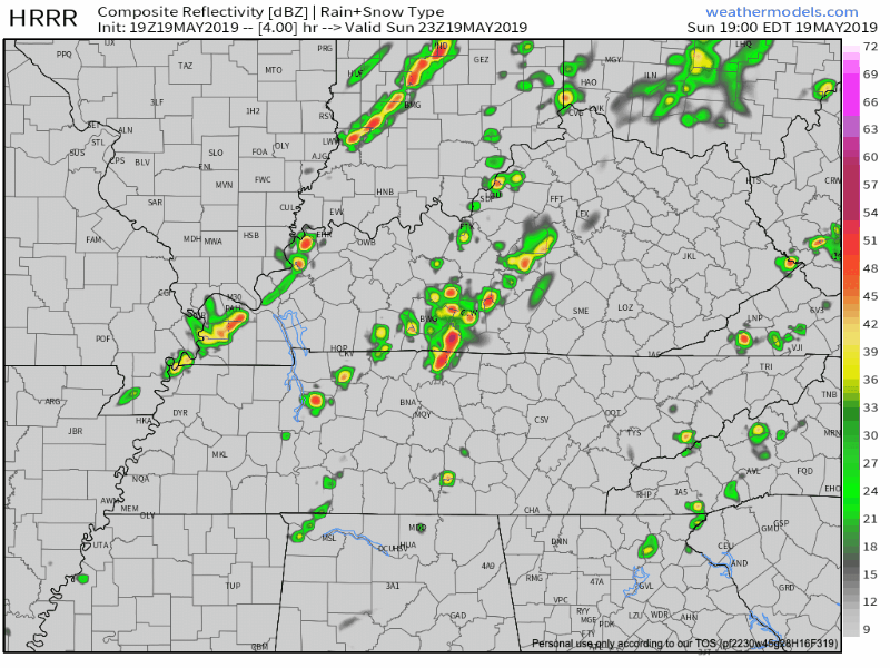
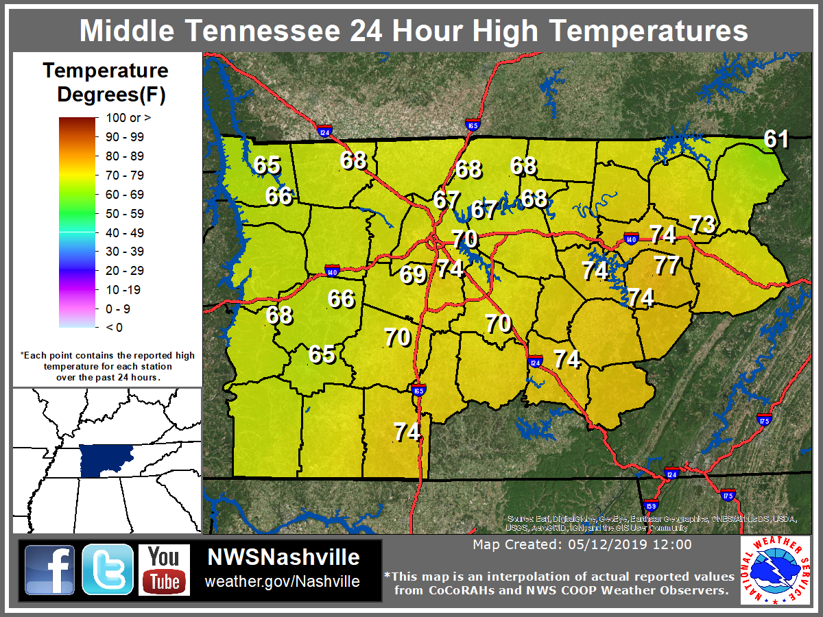
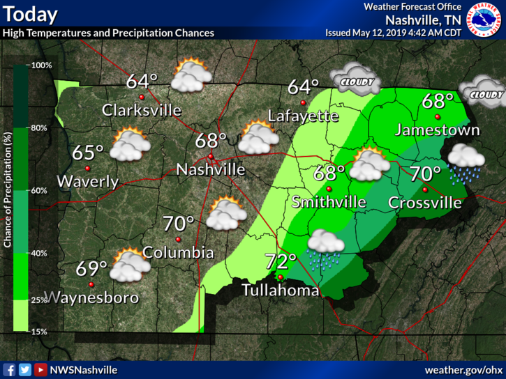
Today
Well, we were just about freezing this morning! Literally!
We got down to 34º at Nashville International Airport. Just 2º shy of reaching the freezing mark. Many local areas did hit freezing, as recorded by personal weather stations.
Frost Advisory for Nashville. 33° to 36°. Sheltered and low-lying areas may see frost producing temperatures for at least a few hours prior to sunrise Sunday. A Frost Advisory means that widespread frost is expected. Sensitive outdoor plants may be killed if left uncovered.
Rain today? High pressure bubble says, “no.”
A ridge of high pressure is now settled right over the Midstate, keeping clouds at bay and squashing any rain chance for our Thursday.
High temps today will remain into the low 60s. Dewpoints in the low 30s! That means the gross-humid weather is out for the day!
Fall is finally starting to settle in, in middle Tennessee!
We are going to continue the pattern of below average temperatures today with highs getting into the lower to middle/upper 60s. As of 3:00 pm, we’re at 68°, pretty close to the average high for this time of year, which is 69º.
First, this happened today. Apologies to anyone who read all 100,000 of these.
This is our 100,000th tweet. Below is tweet #1 from August 10, 2009.
Nothing has changed. https://t.co/naWEDdh6YP
— NashSevereWx (@NashSevereWx) October 15, 2018
Heavy rain is ending, but it’s not over. Most areas along and north of I-40 got 2″ to 3″.
2" to 3" of rain estimated by radar last 12 hours along and north of I-40. Rain slacking off now. Blue arrows depict approach of a cold front. It's 67° now at BNA, expecting upper 50°s before/around dark with arrival of Jerk North Wind. pic.twitter.com/jgz9kJ14So