YESTERDAY’S FLASH FLOOD
Yesterday’s storms did not move.
“No movement” storms are common in the summer. Mid and upper level winds that move storms have gone north.
So the storm’s entire life — and all its rain — gets one spot.

Yesterday’s storms did not move.
“No movement” storms are common in the summer. Mid and upper level winds that move storms have gone north.
So the storm’s entire life — and all its rain — gets one spot.

Editor’s Note: This morning’s Nashville weather balloon reported a dewpoint of 71° with CAPE 1,018 j/kg and PWAT of 1.96″. That’s nerd talk for a lot of moisture available to create rain. It’s more than yesterday morning.

We needed the rain, but the timing is pretty bad. It couldn’t have waited until the work-week?
Embrace uncertainty and read below.
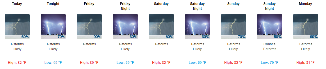
Scattered showers and thunderstorms will continue to impact the area throughout the weekend as an upper level low pressure system sits over Tennessee.

.
We are currently under a Flash Flood Warning for Davidson County from the NWS for this afternoon until 12:30CDT. Some areas have already seen over 2″ of rain and will see more over the next few hours. If you’re out and about remember NOT to drive through standing water and to “Turn Around, Don’t Drown.” Keep following our twitter for more updates on the Flash Flood.
The story for the next five days – rain, rain, and more rain.
Dewpoints yesterday skyrocketed. You could almost drown by breathing in the air – well not really, but definitely felt like it.
Editor’s Note: many have stuff going on at specific times beginning tonight thru the weekend. A show. Cookout. Baseball game. Walking outside to tell your neighbor’s dog to shut up. Golf tournament. Also I heard there is a big fest downtown.
Meh.
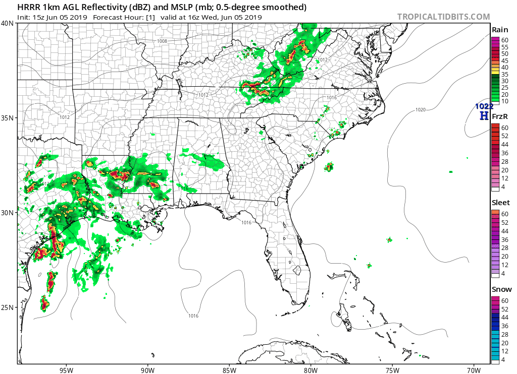
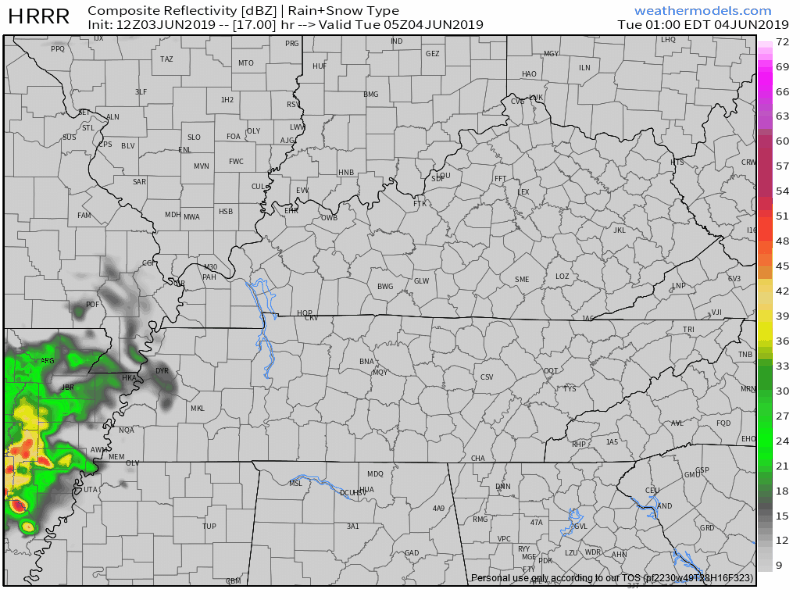
Our afternoon today is looking fairly warm and dry, despite some showers in west Tennessee marching east. The HRRR model is showing a few of these between 2 PM and 4 PM today:
However, our air is still pretty dry and no one really thinks that rain will get here. NWS-Nashville says chances are slight we’ll get a light shower. Unlikely to rain anything out.
June returns Tuesday.
Humidity increases – although still pretty comfy – but the high climbs to 90°.
A few earlier model runs had light rain trying to sneak in here Tuesday afternoon.
Like this one:
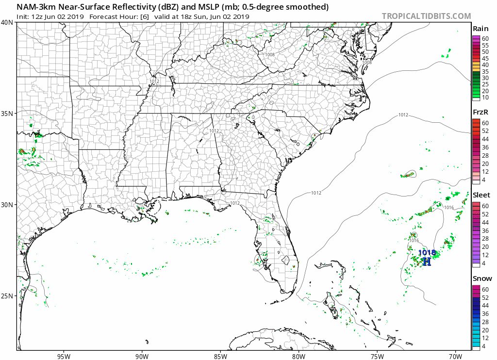
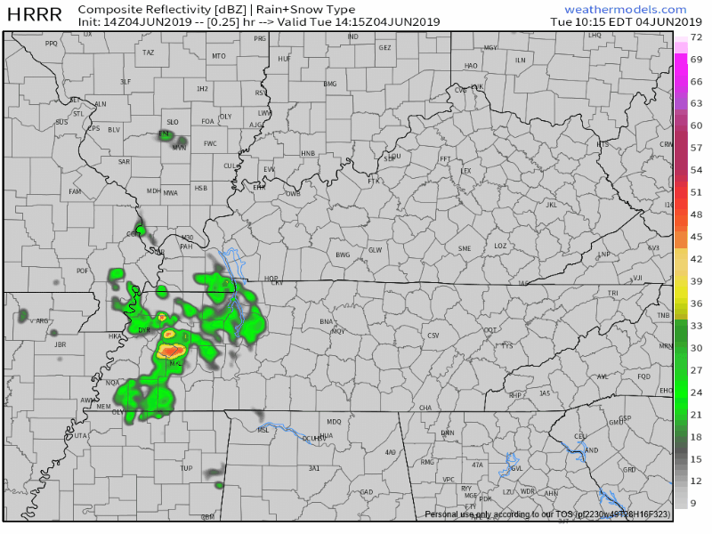
Remaining warm and humid with a high of 89° and dew points in the low 60°s. An isolated shower or thunderstorm is possible, but those should form southeast of us. Here is the latest NAM3 model:
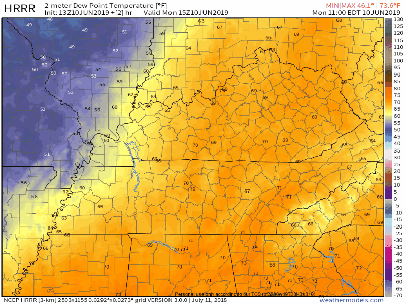
This dewpoint chart shows how muggy it feels out there, with today feeling sticky. Not too bad.
Less humidity Friday. High only 83°!
Today and tonight, low pressure will be spinning over the Bourbon trail.
Because winds spin counterclockwise around a low, showers developed by the low should rotate into Middle Tennessee, including us (Nashville and Will Co) later this afternoon or tonight.
You must be logged in to post a comment.