

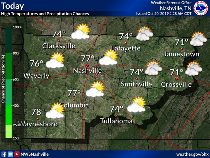
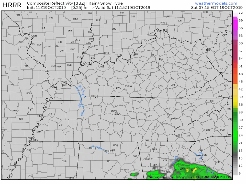
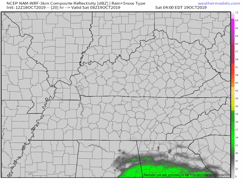
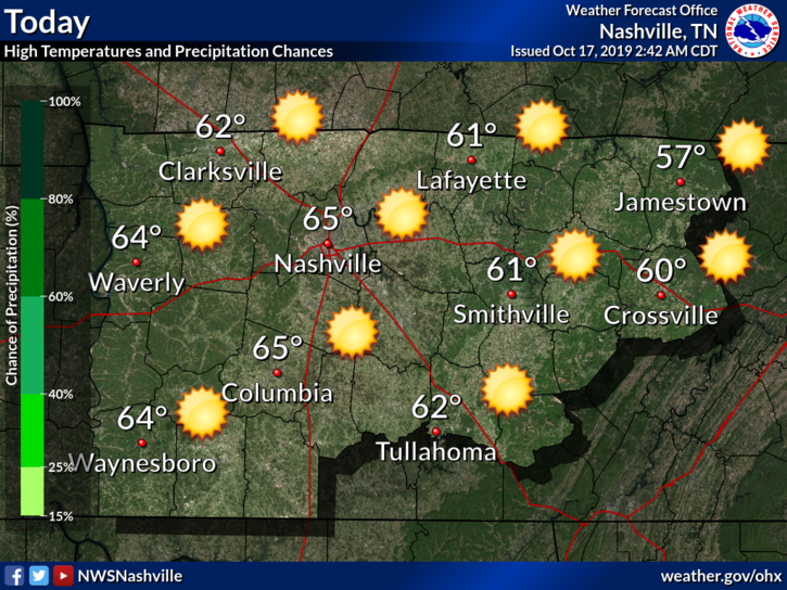
Rain is Gone, Sunny Skies are Back
Rain: passed.
Skies: mostly sunny.
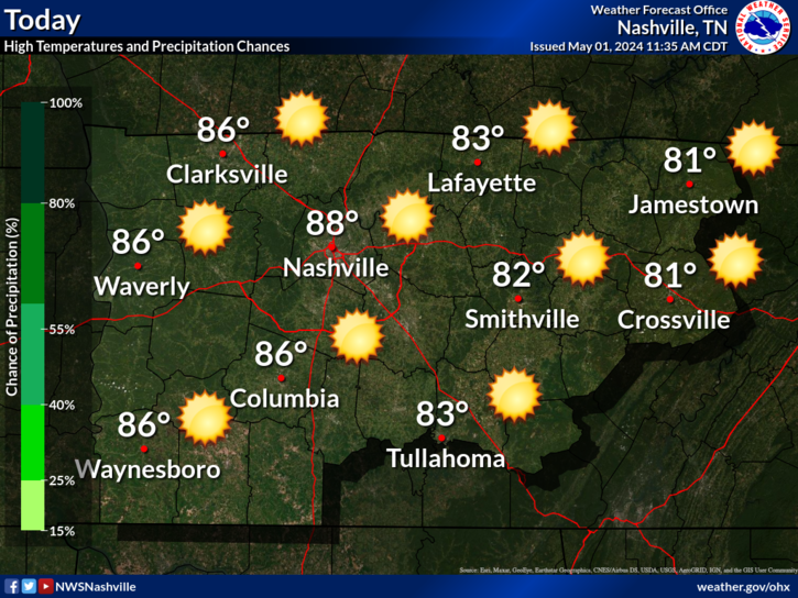
Overall, beautiful weather today with a high temperature of 67°.
Great Fall Weather Continues
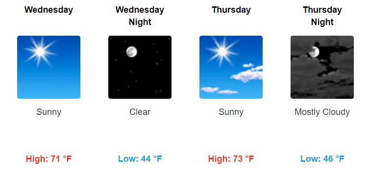
High temperatures gradually warm back up to slightly above-average.
Low temperatures will be a little chilly, so be sure to pack a jacket if you leave for work early in the morning.

You must be logged in to post a comment.