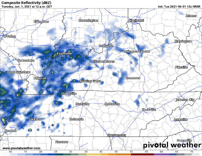
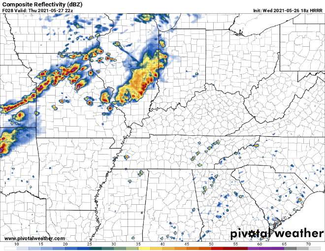
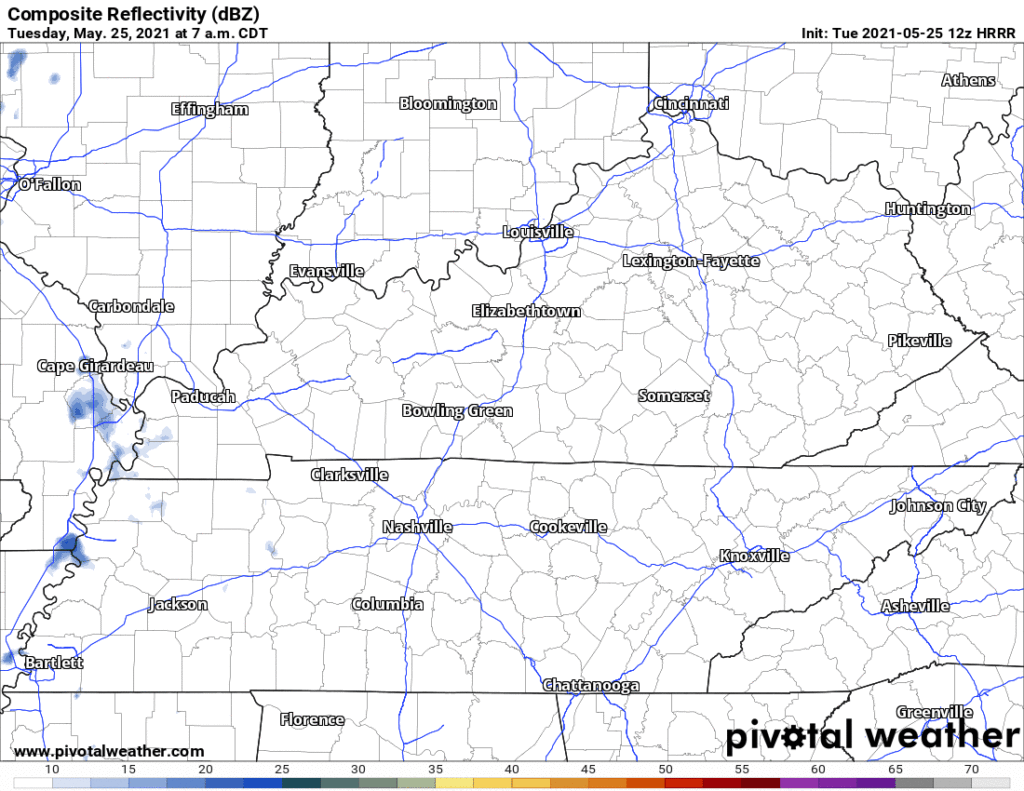
Watching Tropical Storm Beta.

Today will be the opposite of a week ago.

Last Sunday:

Image

Fall-like temperatures continue today along with mostly sunny skies. High temps shouldn’t exceed 80.

days of the week sunday GIF

Fall is Coming.

Fall officially starts Tuesday! As you can see by the graphic, the lowest temps this week will be on Tuesday. So festive. read more

Cooler Temps AND Sunny Skies? Say Less! (Also we may not be done with tropical systems).

It’s going to feel great today!

Find Your Jackets Because Fall Is Here!

A Cool, Breezy, and Sunny Friday

Three of the best words in weather.

A few clouds this morning will give way to a mostly sunny afternoon. High temperatures will reach 75º.

The wind may pick up a bit, but nothing a little kite flying can’t take care of. read more

Jacket/Hoodie Szn Says Hello.

Tropical Depression Sally will pass east of us today. Winds rotate counterclockwise around Sally. As Sally passes east, our east wind will shift into a cooler, drier north wind.

Sally Influences, then a Taste of Fall.

Hurricane Sally made landfall as a Category 2 hurricane after churning the Gulf Coast this past week. Maximum sustained winds of 100 MPH brought heavy winds and catastrophic flooding to the coast area like Gulf Shores, AL, and Pensacola, FL read more

You Can Thank Sally for Pretty Much Everything in This Forecast–Good and Bad

Humidity Likely, Rain Unlikely Today

A few scattered showers may sneak into Middle Tennessee this afternoon. The HRRR model thinks this is unlikely, though.

HRRR simulated radar, through midnight tonight

Pretty scattered if you ask me… If anything materializes, it will be in the afternoon. read more

Sun Returns Later Today, Hurricane Sally Remnants Later in the Week, A Note About Yesterday

A pretty mild and dry afternoon approaching with our high temperature in the mid-80s.

It’ll feel warmer, though, with those dewpoint temperatures projected to hang out in the upper 60s today.

A chance for isolated showers is forecast for the southern region of the state. Most of the activity will stay mainly south of us, along the Tennessee and Alabama border this afternoon. read more

Flash Flooding Possible Sunday, Possible Impacts from Sally?

Rain, Rain, and More Rain

That’s what we’re going to be looking at for much of the day today.

The National Weather Service issued a flash flood watch for the area through 7 pm. Anywhere from 1 to 3 inches of rain is expected to fall, but some areas could see locally higher amounts. read more

Probably Best to Stay Indoors This Weekend. Maybe a Dry Day or Two Next Week?

The Rainy Spell Will Begin Saturday Afternoon

A front that’s currently located over the Tennessee Valley region will move north this afternoon, increasing our rain chances.

See how we are sandwiched between the stationary front (red and blue patterned front) and the warm front (red patterned front)? That means we are in the warm and rainy sector of this frontal system. read more

Mostly Dry Today, Wet Weekend Ahead

TGIF! This morning we are starting out with sunny skies and temperatures in the low 70’s.

By the mid afternoon hours those temperatures will get into the low 90’s.

There is a slight chance for showers later this evening between 5pm and 8pm. Anything that may pop up will be very isolated and short lived. read more