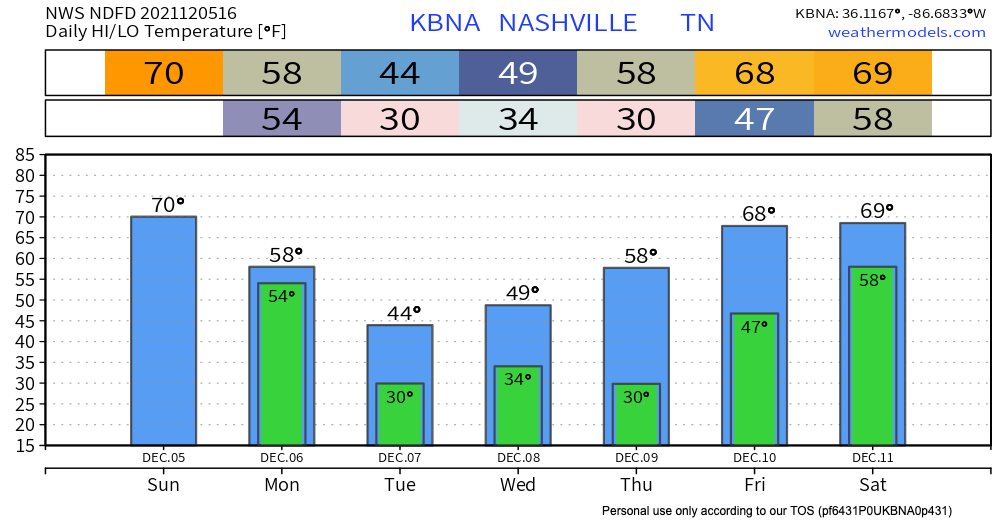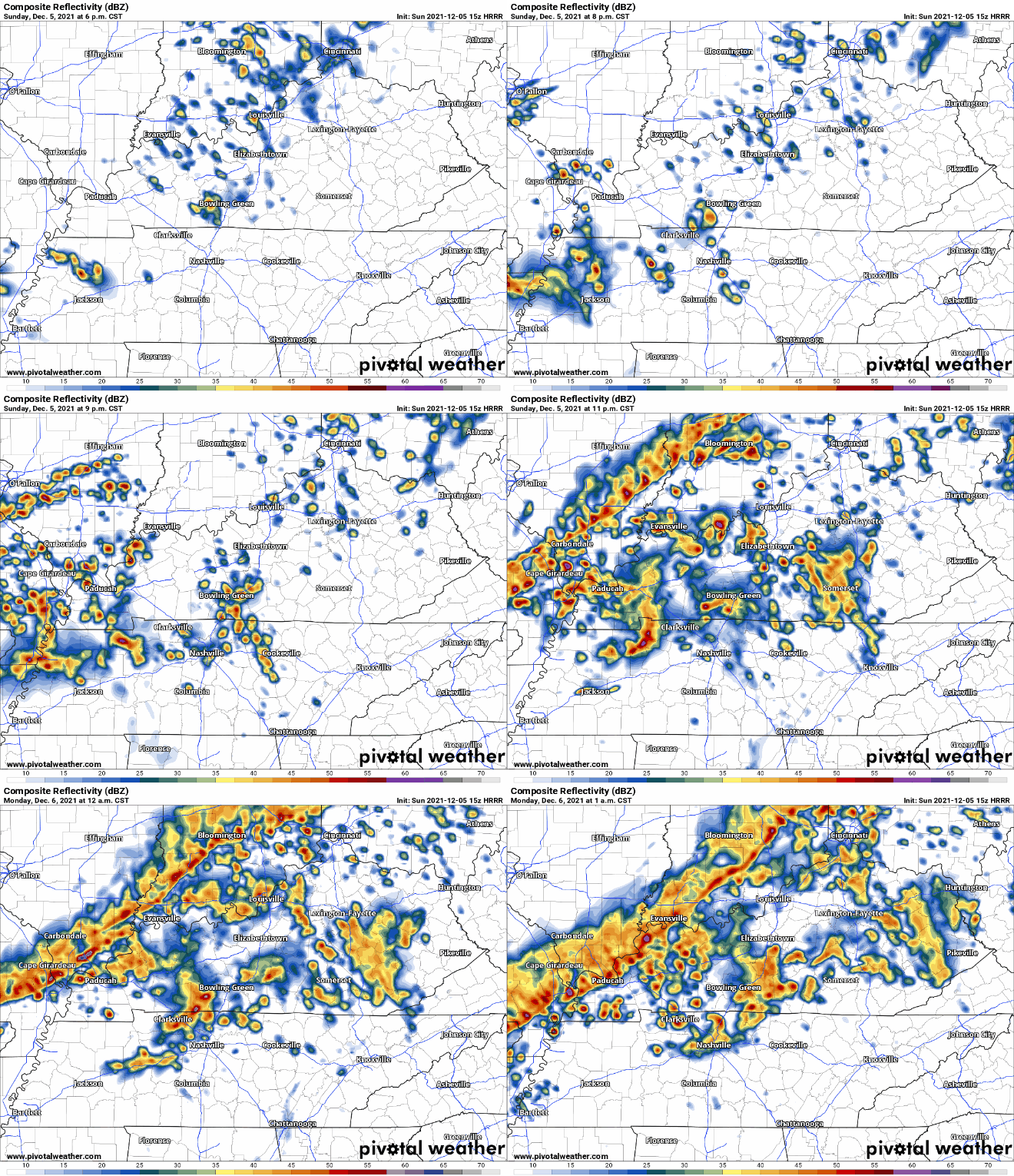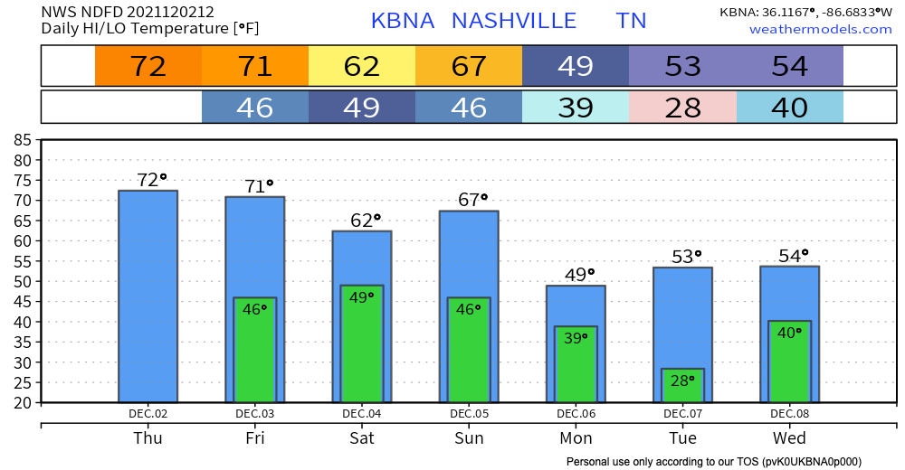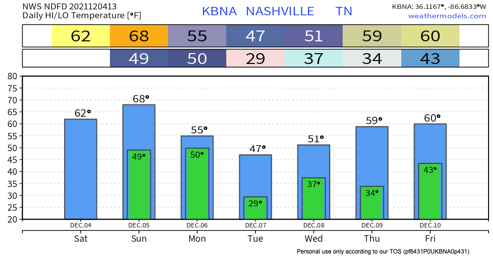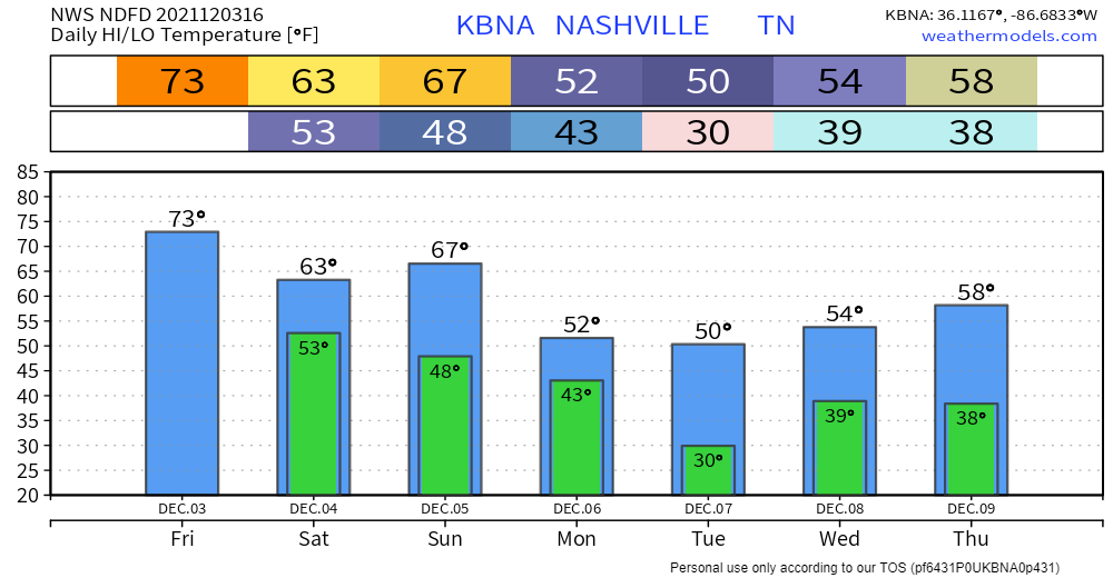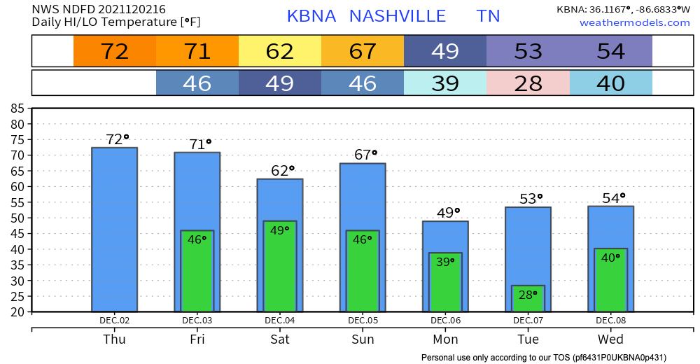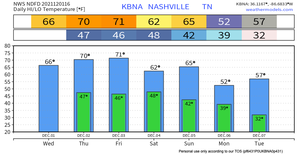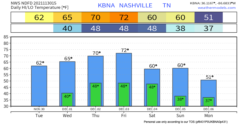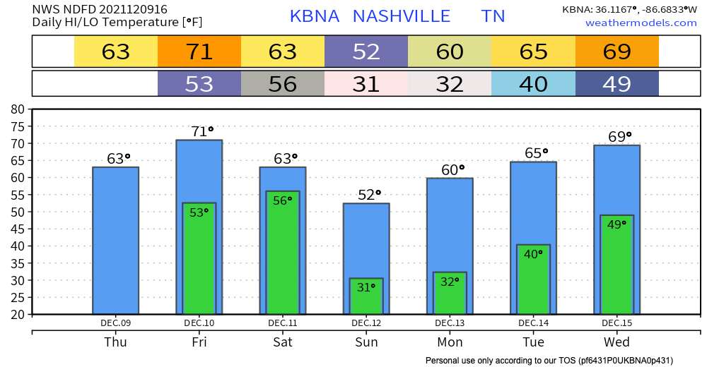
Title says it all. Temperatures in the 60s and 70s today, and dewpoints are matching, also in the 60s (see also: sticky, but could be worse.)

No unpleasant weather is expected for the foreseeable future. Kinda warm tho.
Title says it all. Temperatures in the 60s and 70s today, and dewpoints are matching, also in the 60s (see also: sticky, but could be worse.)

No unpleasant weather is expected for the foreseeable future. Kinda warm tho.
Fog is mixing out this morning. It was pretty bad in spots.
No controversy about rain today. Perfect for Titans football.

Dewpoints will climb into the 60s Monday afternoon and stay there for most of the week. That means more humidity and less of that fall time feel.
There is a cold front sweeping through our area this morning, attempting to squeeze any moisture it can out of the air, trying to defy the no rain forecasted. But who’s to say this rain even reaches the ground? There is some fairly dry air above the surface which may be negating this rain. Even if the rain does successfully make the journey from the clouds to the ground, it would just be enough to make the ground wet, and it will be well on its way out of here, making way for a beautiful weekend.
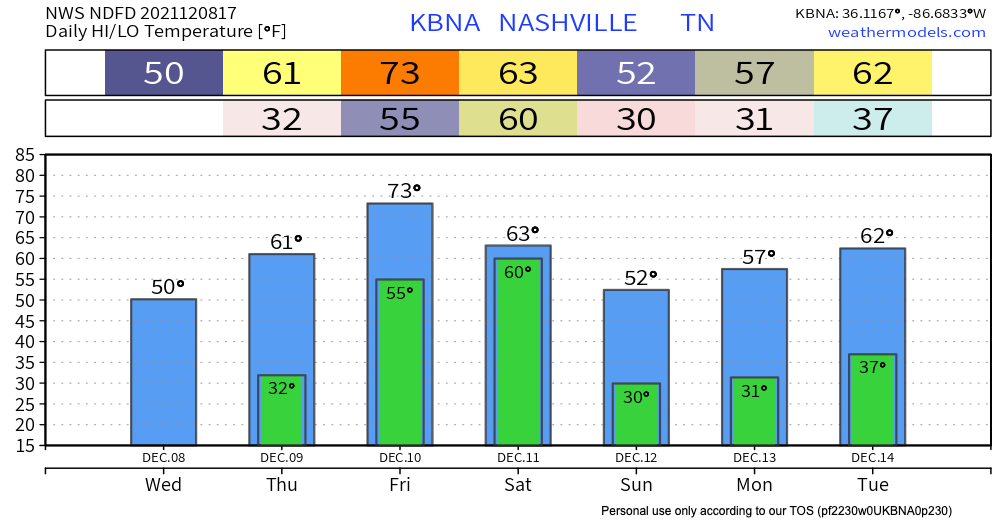
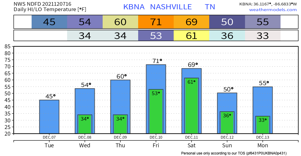
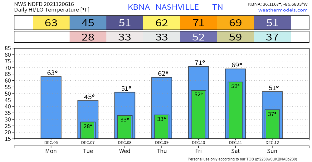
Yes, temps are on an upward trend. But we’re staying well below normal for at least today. Looking at highs in the mid 70s. We get closer to that normal threshold tomorrow… highs hang out around the upper 70s/low 80s through the weekend. Dewps in the 50s will keep you nice and comfortable, so don’t sweat it.
Walking out the door this morning, it REALLY does feel like fall. Lows in the low 50’s for the rest of the work week. High’s are below average for today and tomorrow in the low to mid 70’s. Highs hit the low 80’s by the start of next week. Dewps are capping off at 50 deg and will rise to the upper 50’s by next week. Fall will continue for the weekend.
Most of today’s rain is behind us! Some of us will see lingering isolated showers this afternoon and evening. These are chilly drizzlers on the back edge of the system that passed through last night.
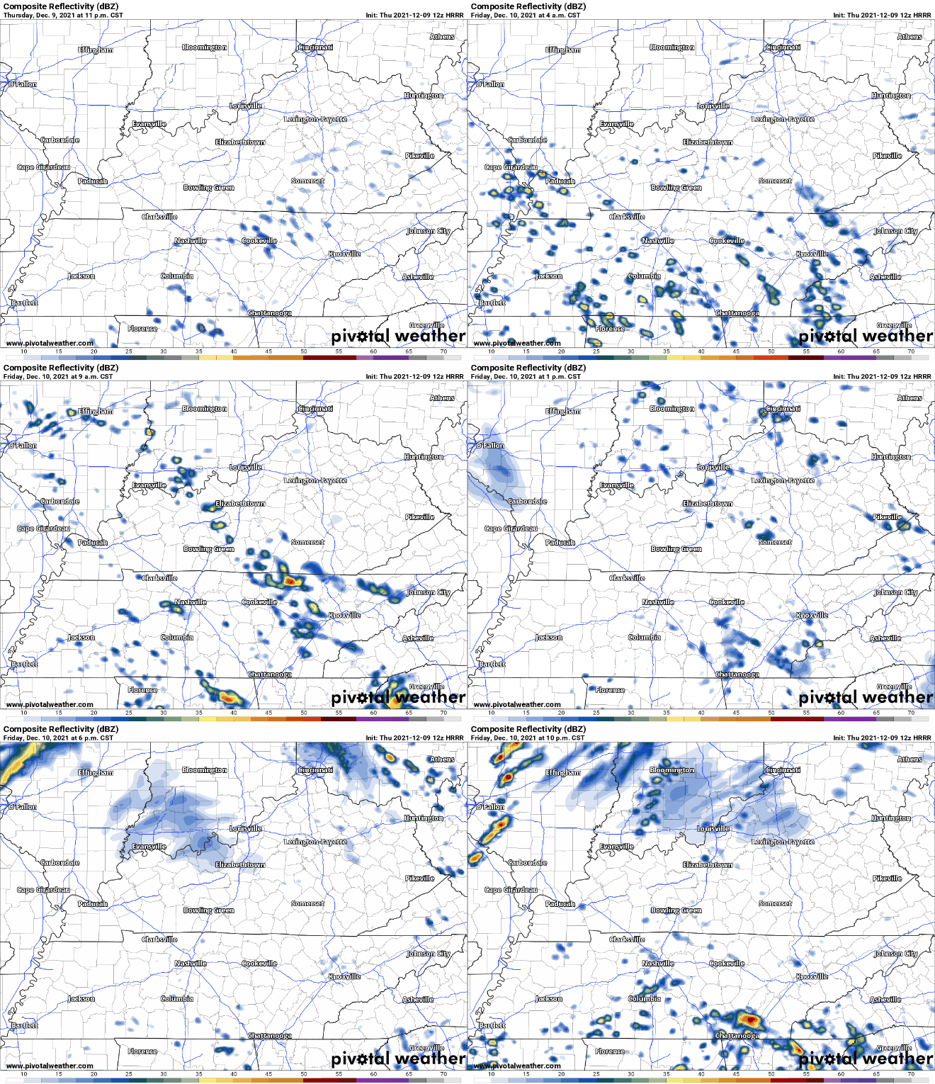
We’ve had a pretty wet last few days. Scattered showers and storms during the day today are the precursor to tonight’s round. Tonight into tomorrow is when we’ll see most of it. HRRR has us drying off by tomorrow morning.
As of this writing, there is a Flash Flood Warning for western Williamson County and a multitude of Areal Flood Advisories across both counties. Have a way to get additional warnings and advisories should they be issued today. More rain is expected.
Rain will continue today. HRRR shows our area getting rain from lunchtime to the evening.

These showers and storms can drop a lot of water fast which is why were under a Flash Flood Watch through Monday night. WPC has us in the 10-20% chance of a flash flood occurring. Be alert, don’t drive through flooded roads.
Those who live near fast-rising creeks and streams should pay close attention to the weather this weekend. If a Warning is issued, be sure you are paying attention and can move to higher ground. No one should attempt to drive across a flooded road.
You must be logged in to post a comment.