Rain Possible Today & Tomorrow; Heating Trend Begins Friday

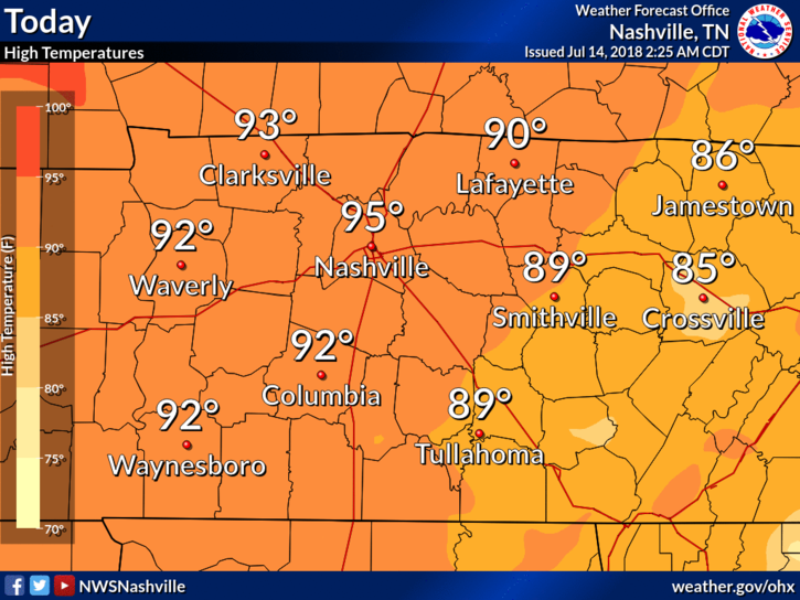
Skies will be cloudy for much of the day. Good news: clouds will keep our high temp from soaring. High temps in the mid 80°s and dewpoints in the upper 60°s.

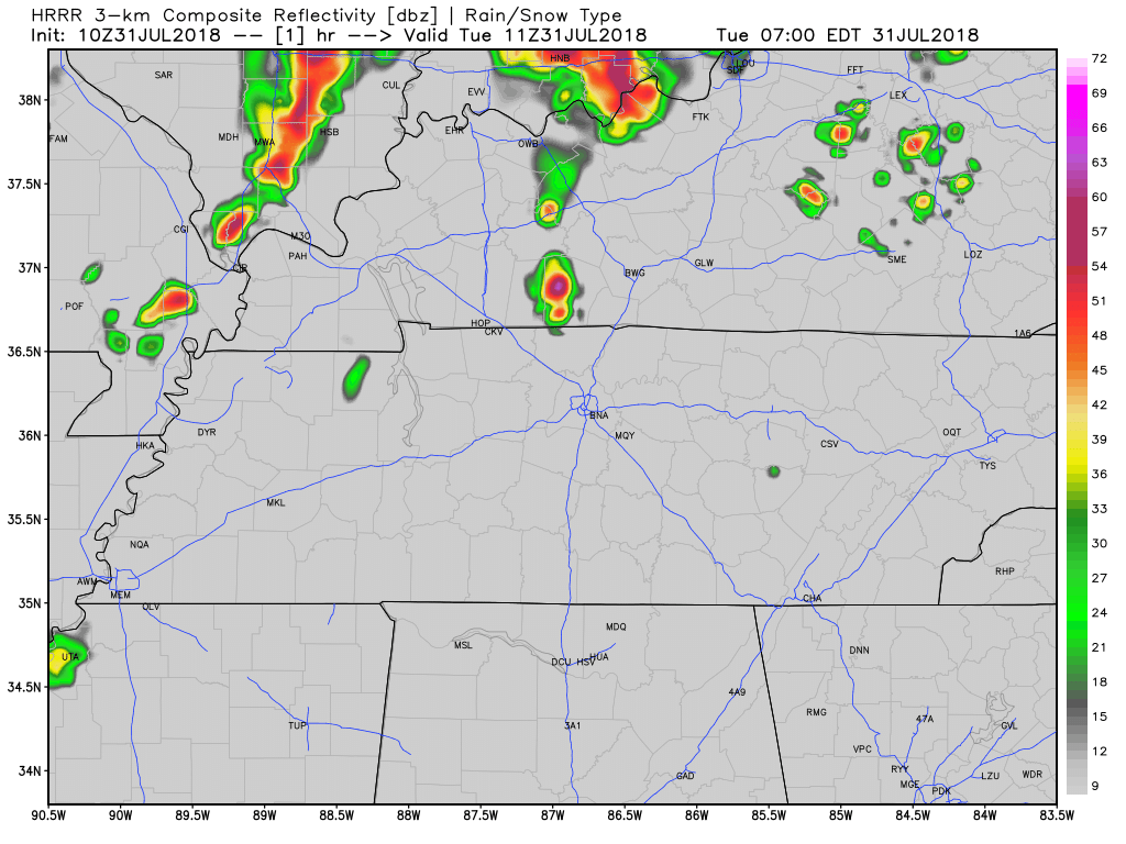
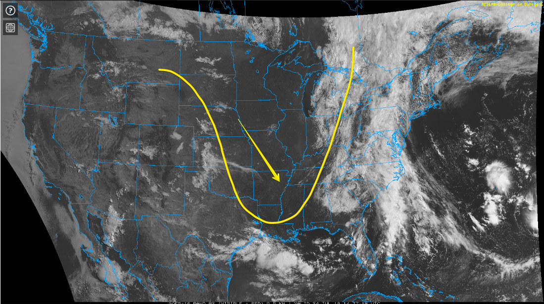
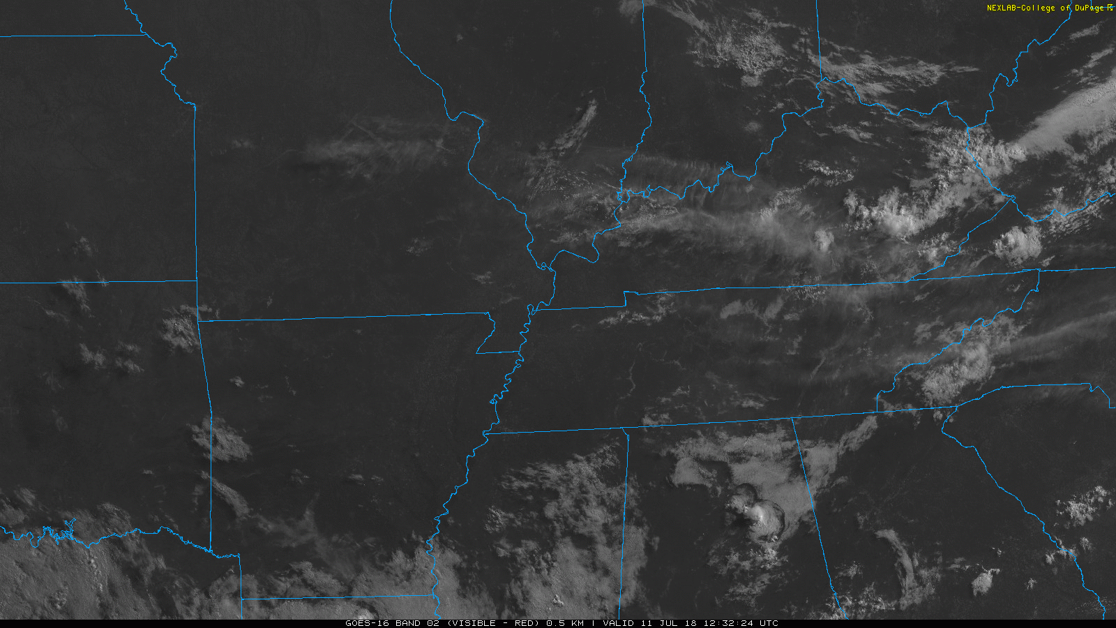
GOES-16 Low-Level Water Vapor Imagery shows low pressure slowly swirling over the Midwest (near St. Louis).  It’s pulling moisture straight up into Tennessee, keeping our storm chances high. read more

Sunny & Clear Today; Sunday Mostly Clear With Late-Night Storms; Rain Next Week

Beautiful Weather Today!

Dry air has taken over Middle Tennessee, bringing with it welcomed relief! High temps will make a run at 90° today, but dewpoints continue to drop. By this evening, dewpoints will sit just below 60°. read more

Pleasant & Dry Today; Rain on Friday & Sunday; Saturday Looks Great

High temps will reach the low 90s for Nashville – that’s some of the warmest temps we’ve seen in a few days. We could be feeling a bit sticky, dewpoints are reading in the mid/upper 60s. read more

Sunshine and Pleasant Temps This Week; Watching for a Rainy Weekend

Plenty of Sunshine Today

High temps will be close to 87° today and with dewpoints remaining in the upper 60s – it’ll feel great outside!

We’ll have another day of splash-and-dash showers, but we’re expecting our Tuesday to remain mostly dry. read more

Afternoon Rain Chances Unlikely; Heat Relief Arrives Today, Stays Through Weekend

Yesterday’s Storms

Yesterday is one of those instances where we prepared for the worst, hoped for the best, and landed on the better side of things. To give you an idea of how storms played out, we have the Storm Prediction Center Storm Reports map (pictured below). This map is created from reports the public, broadcast entities, or others sent to the local NWS office during a severe weather event. read more

Rain This Evening Unlikely; Update on Friday’s Severe Thunderstorm Threats (Heavy Rain, Damaging Winds, Hail, Tornado)

Evening Rain Chances

Sticky — but not oppressive — humidity and very low afternoon rain chances; keep all your rain-afraid afternoon plans.

That said, a few storms could go up this afternoon, but as the HRRR model below illustrates, most of that threat will be to the south and east of Williamson and Davidson counties. read more

Afternoon Possible Storms Today, No Rain Tomorrow! Rain Chances Increase by End of the Week, Watching Saturday

One More Wet Afternoon – Then Dry Air Arrives

Our winds have shifted and are now coming from the north, bringing us dry air overnight tonight.

The HRRR shows us what the radar could look like for the remainder of the day. Rain/storms forming mostly along and south of I-40 in the afternoon, then slowly pushing south. read more

Low Rain Chances Today, Humidity & Rain Chances Rise Sunday

Rain-suppressing high pressure will be here today, gone tomorrow.

High temps will hit the mid 90s for Nashville, with oppressive dewpoints in the low 70s. Another hot and humid day in July.

The HRRR model (shown below) predicts afternoon downpours, but it has Williamson and Davidson Counties looking dry. read more

Hot and Dry Today; Another Heat Wave Is Here

A dome of high pressure has settled itself right on top of us. This will suppress rain formation and increase our high temps.

This afternoon we will hit the mid 90’s for most places around Nashville. Dewpoints will again be borderline oppressive (around the 70° mark). Heat Index values could easily reach 100°. read more

Hot, Humid, Chance of Afternoon Rain; High Pressure Ushers in Heat Wave this Weekend

Early-morning clouds over over Williamson and Davidson Counties have disappeared.

Some puffy cumulus clouds are appearing over us, but they’re not blocking sunshine from reaching the surface.

High temps will reach into the low 90’s, with dewpoints remaining in the low 70s. It’s going to feel close to 100° this afternoon. read more