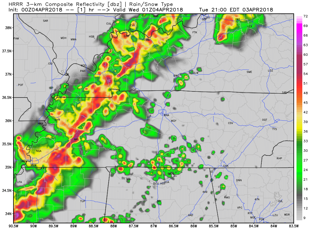
Rain showers on and off all day
A small low pressure system has settled itself seemingly just south of Davidson and Williamson Counties. We are getting the rain from the north side of it.
Rain should continue falling lightly until early tonight.

A small low pressure system has settled itself seemingly just south of Davidson and Williamson Counties. We are getting the rain from the north side of it.
Rain should continue falling lightly until early tonight.
This flood advisory has been issued for the Stones River in Davidson County. Water levels are expected to fall out of the Action Stage by this afternoon.
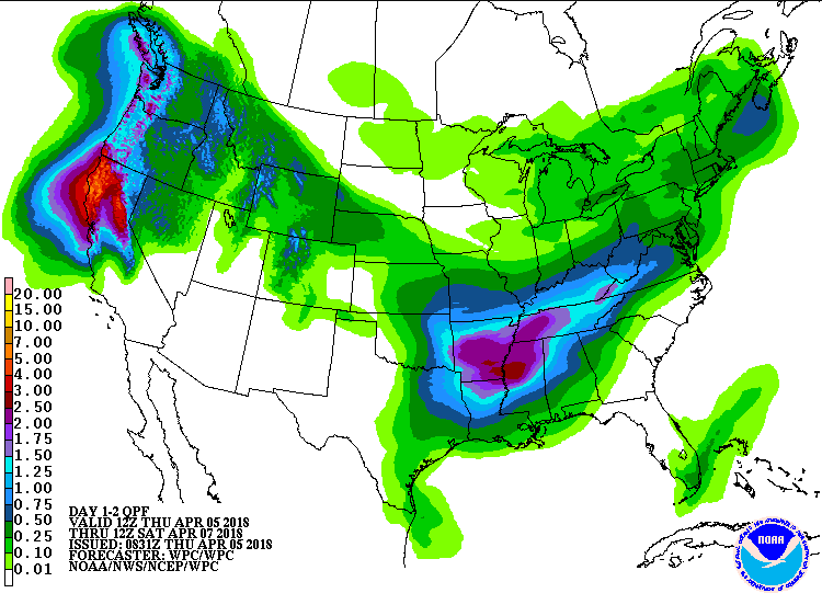
This week does not look like it will be drying out anytime soon. We still have a few chances of rain today as this low pressure system continues to spin (COUNTERCLOCKWISE!) over the southeast. The heaviest showers are finally moving eastward and out of Tennessee, so we’ll be left with spotty showers throughout the day.

Sunshine on a Saturday has us all excited!
This break in the clouds has been brought to you by a bubble of high pressure hanging over central Tennessee. It’ll hang on for one more day before being pushed east as rain moves in later on tonight.
Enjoy these warmer than average temperatures today, because they will be gone tomorrow! (But not by much)

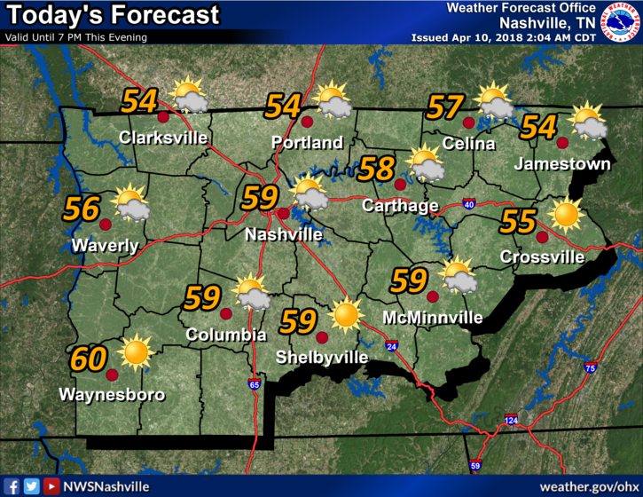
Once again it’s going to feel as though spring has sprung! Although temperatures this morning were still very chilly, high pressure settled over the area is going to allow for today’s high to crawl to the upper 60s to near 70!
The cold front will begin to make its way through our area. Showers expected on and off all day as this low pressure system slowly moves through.
While further storm development is a possibility, it’s not likely.

No hills in or around Nashville have snow. Not even Joelton has snow. Temps today and tonight will be dramatically above freezing. Therefore an avalanche has no chance tonight, anywhere in Nashville.
Today and tomorrow will feel like the Spring we’ve been waiting on with temperatures that could warm into the 80s! That’s a sharp contrast to the chilly temperatures we had earlier in the week.
Spring and winter are still in a tug-of-war as temperatures bounce around between cold and warm. Today will be mostly clear with clouds moving in and out. Cold north/northeast winds are keeping it chill.
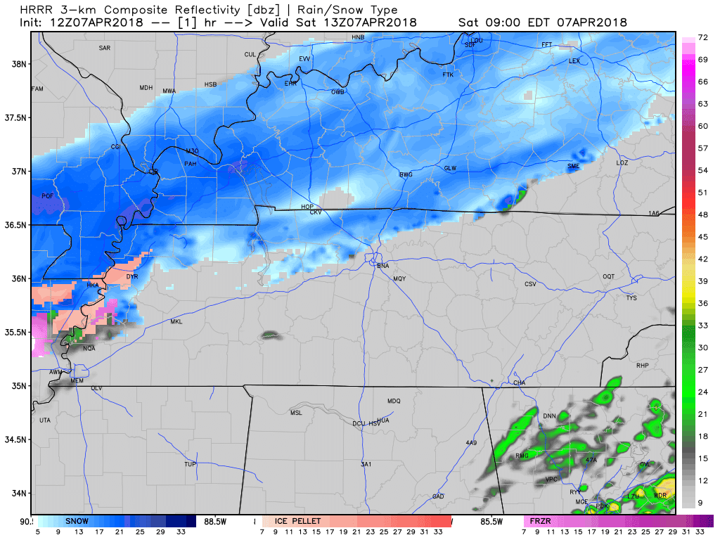
Dry, cold air is funneling into Davidson and Williamson County from the north. This dry air near the surface is zapping most of the snow trying to make it to the ground. Any wintry precipitation that actually makes it to the surface could accumulate on very cold surfaces, but the ground and roads are still too warm to allow for accumulation. Models and our local NWS office are trending towards this wintry mix ending in the mid to late morning.
A dome of high pressure sitting over our location is going to keep most clouds and precipitation at bay for another day. As the next weathermaker begins to organize and move towards the southeast, clouds will begin to increase.
The Severe Thunderstorm Watch has been cancelled for Davidson County and Williamson County.
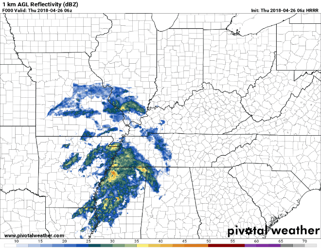
There is still some rain around. The HRRR model has all of the rain moving out of our area at about 2 AM. After that, we are seeing that cold, dry air move in.
You must be logged in to post a comment.