Current Radar
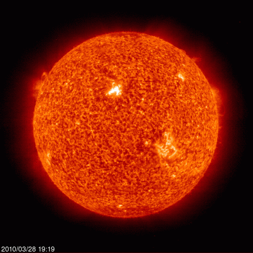
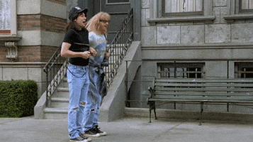
Summer started at 11:39 AM. I love this GIF so imma leave it right here, new GIFs below …

… and gave us a big HELLO at Warner Park:
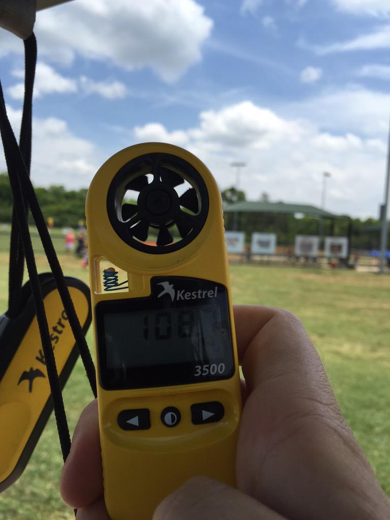
The heat index read 108° in the sun at 12:30 PM today.
Tonight – Rain? Maybe, But Probably Not
At 3 PM, a strong line of thunderstorms was forming along a south-moving outflow boundary located to our north across Kentucky. It prompted a Severe Thunderstorm Watch in KY: