
Current Radar
Pleasant Tonight
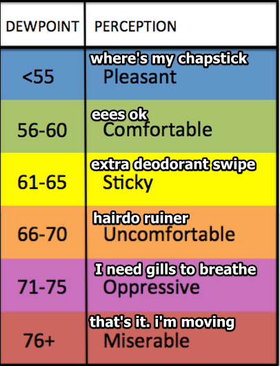
We hit 90° today, but the dewpoint never made it out of the 50°s.

Monday – Warming Up – High: 94°
The winds will shift from north to south overnight Sunday into Monday morning. So, hotter.

Tuesday – Still Hot; Rising Humidity – High: 94°
The dew point will climb into the upper 60°s.


You must be logged in to post a comment.