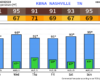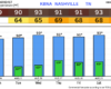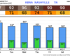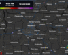
NWS-Nashville has us under a Heat Advisory through this evening and an Extreme Heat Warning that runs through Thursday evening, with heat indices climbing well into the 100s for several days in a row. We are not severe outlooked.
A little more uncertainty than usual regarding today’s forecast – which is never fun.

Yesterday, multiple high-res models agreed that we would see multiple waves of storms throughout the day, even starting as early as this morning. This is no longer the case.
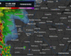
Recent model runs have backed off on our storm chances this afternoon and evening, although chances certainly are not zero, especially with this clearing we are seeing.
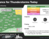
With any popup storm this afternoon, we can’t totally rule out a strong storm or two with some damaging straight-line winds. The Storm Prediction Center continues to have us outlooked with a 5% chance of damaging straight-line winds within 25 miles.
Models have backed off on our rain chances for today and now think we stay dry. Typical, hot summer day with highs near 90°.
We get two days of more active weather on Friday and Saturday.

The Storm Prediction Center has outlooked us with a 5% chance of damaging straight-line winds within 25 miles for Friday. Similar probabilities for Saturday as well.
Another nice day ongoing. Not too hot and dewpoints only in the mid 50s. Good day to take your lunch break outside.
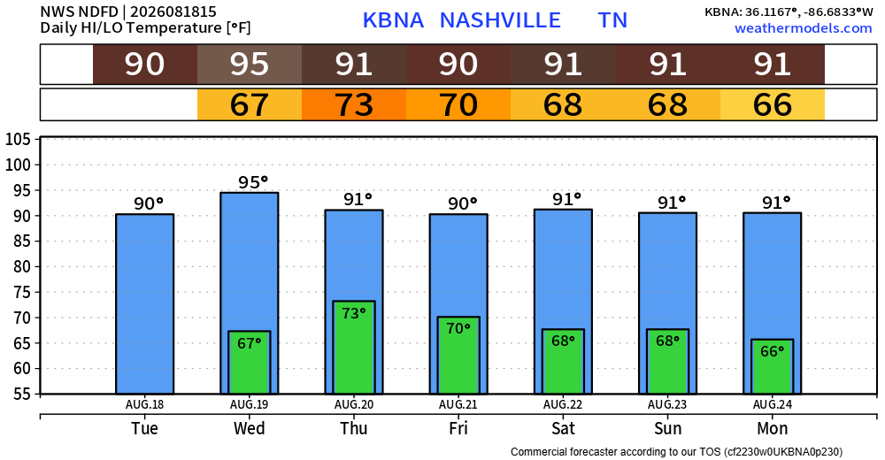
Thursday our temperatures will slowly start to climb. Could be the start of a prolonged stretch of 90°+ days.
Today and Wednesday will be the days to mow the yard and get outside. Highs in the low to mid 80s, tolerable humidity and dry.
Thursday a more summer-like pattern returns. High temps near 90° with popup showers/storms (the ole’ Wattery) possible in the afternoon and evening.
Another fairly nice day. Highs near 90°, although dewpoints will cooperate enough to where the heat index will not differ much, if at all, from the actual air temperature. Plenty of sun, no rain expected.
Although yesterday’s system did not bring as much rain as expected (we are still playing catch up, BNA is still 7.79″ behind for the year), we’ll take getting away with no severe or flooding.
Forecast remains on track.
Scattered storms this afternoon will carry the threat of heavy rain, lightning, along with some strong winds.
The Storm Prediction Center still has us outlooked with a 5% chance of damaging straight-line winds within 25 miles. We are not included in any probabilities for hail or tornadoes.
Today will be dry, but it certainly won’t feel as good as the past two days. Highs will get up into the low 90s, along with dewpoints in the mid 60s. The only factor that will be helping us will be gusts up to 25mph this afternoon and evening, which may help it feel a tad better.
You must be logged in to post a comment.