
Although yesterday’s system did not bring as much rain as expected (we are still playing catch up, BNA is still 7.79″ behind for the year), we’ll take getting away with no severe or flooding.
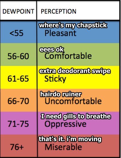
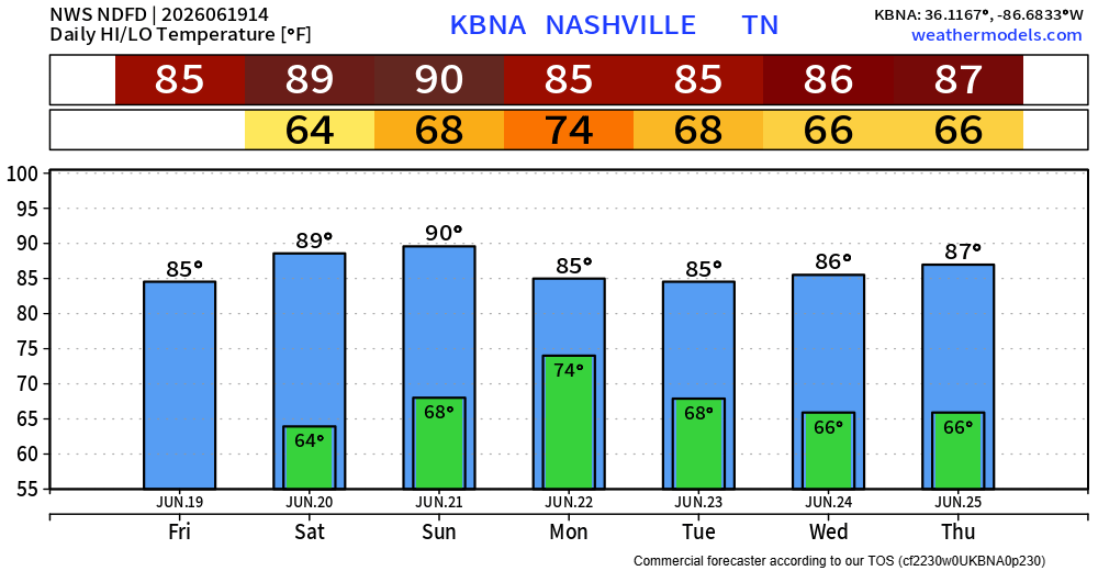
We do have two relatively nice days of weather in store, today and Saturday. Dry, with highs will be in the mid to upper 80s, so still borderline hot. Dewpoints will be alright – in the ‘Sticky’ category.
This dry stretch will be relatively short-lived, as storm chances return by Sunday. Those with any outdoor Father’s Day plans should think of an indoor plan for you and your dear ole’ dad.
Unsurprisingly, the Storm Prediction Center has outlooked us with a 5% chance of severe weather within 25 miles on Sunday. As of right now, the main threats look to be damaging straight-line winds and heavy rain. We’ll get the specific hazard threats starting tomorrow.
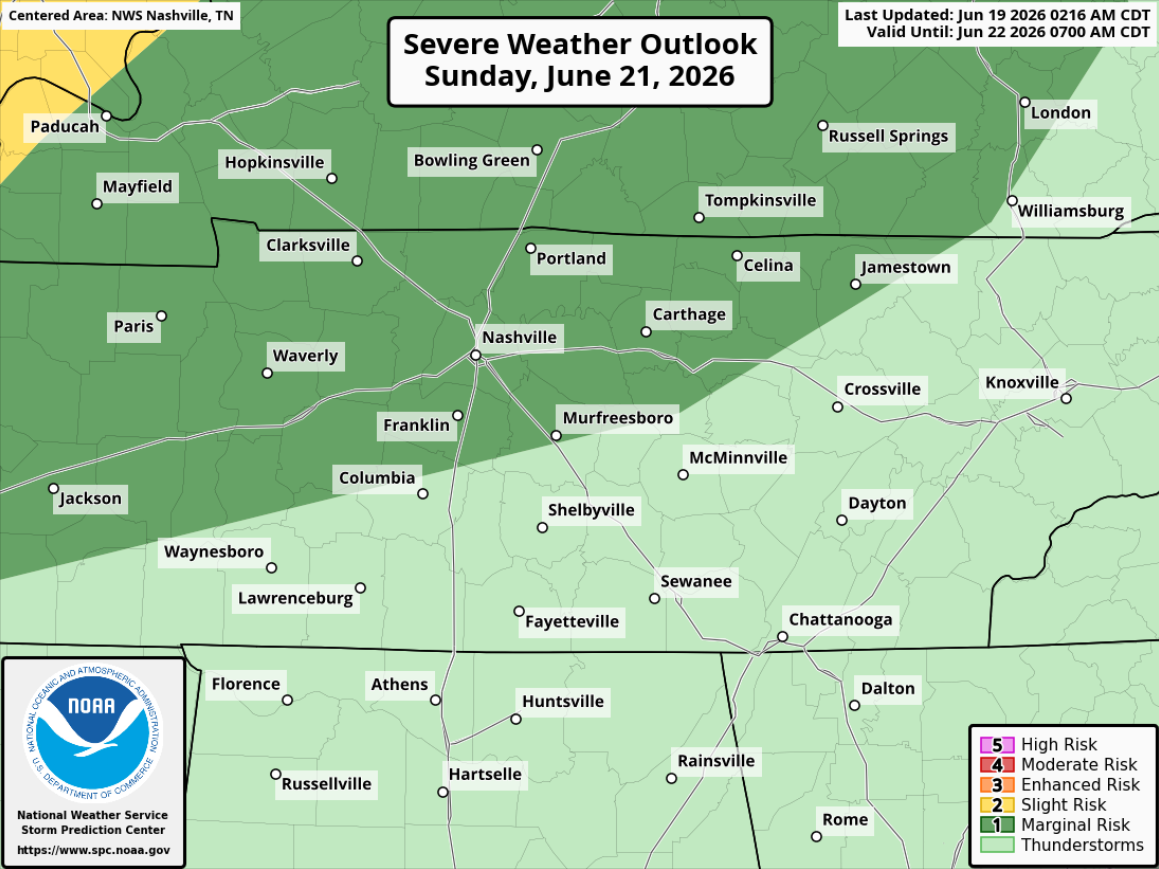
Timing wise, any storms look to be confined more to the afternoon and evening hours.
This is all 3 days out and things can change between now and then. We’ll keep y’all updated.
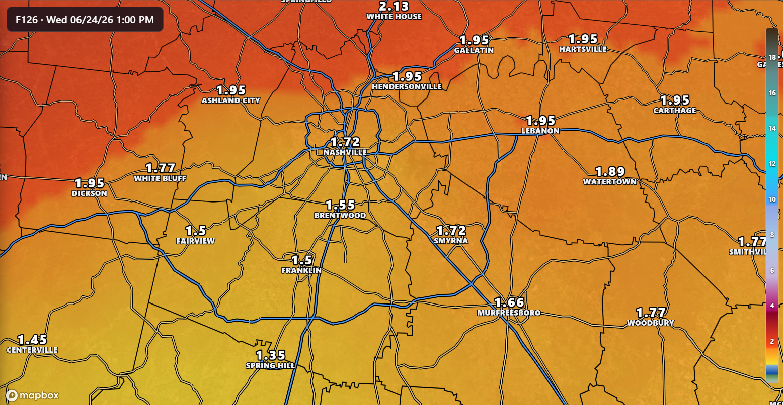
Monday looks to be a different day, similar story. Although we are currently not outlooked with severe probabilities, it will not surprise me if future updates from the SPC include us in some. Another day of potential for strong to severe storms, mostly in the afternoon and evening. Confidence will continue to increase as we get closer and more model data flows in.
The good news from both of these days is that at least some healthy rainfall is expected. Between 1-2″ is generally expected. The latest run of the National Blend of Models puts us somewhere in between.
Temperatures stay pretty warm, with highs generally in the mid to upper 80s. Rain/storm chances decrease after Monday.
Categories: Featured Blog