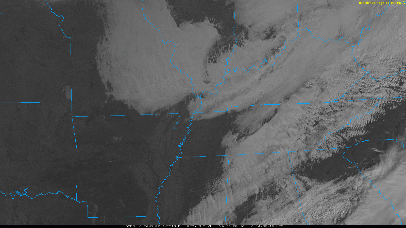
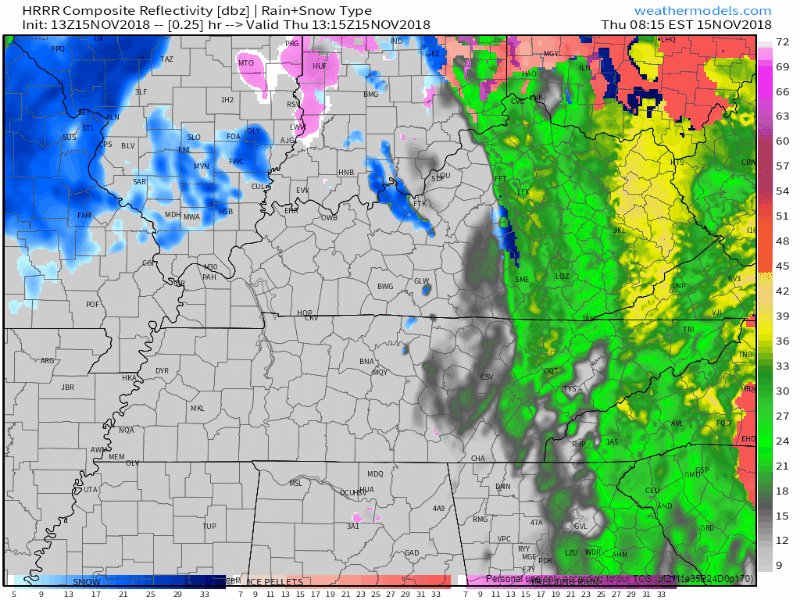
Tornado Anniversary (& siren rant!); Rain Tomorrow; Travel Weather

Tornado Anniversary!

One year ago today, at 4:31 PM, a 200 yard wide EF-0 tornado touched down just north of I-24 in Joelton. It ran parallel to the interstate for 2.34 miles with no injuries. Twenty-two minutes later another tornado touched down at the Villages of Long Hunter subdivision in Antioch, crossed Percy Priest Lake and churned 10.93 miles into an EF-1. No injuries, but there was property damage. read more

Warming This Weekend, Weak Front Next Week

It’s Warming Up!

Today is the rebound day! The bitter cold is coming to an end (for now…). A high pressure is beginning to build in across middle Tennessee bringing calm weather with it.

It’s influence on Nashville will remain noticeable through the weekend. Temperatures are going to be on the upswing through most of the weekend. These temperatures will be more seasonable for this time of year. read more

Cold & Windy Today; Rain Returns Wednesday; Frozen Precip Thursday(??)

Rain moved out of Middle Tennessee, leaving behind a very cold and dry afternoon.

Here’s the departing precip per the HRRR model:

Temps earlier this morning were creeping toward 40°. They’re now dropping and should settle in the mid/upper 30°s throughout the afternoon. The wind is strong today, blowing around 10 MPH and gusting stronger than that, keeping wind chills at and below freezing today and certainly tonight and overnight. Temps should drop below freezing after midnight, with a pre-dawn low Wednesday of 31°. read more