Hit or Miss (Mostly Miss) Showers Today, Dry For Most Of The Weekend Until Late Sunday

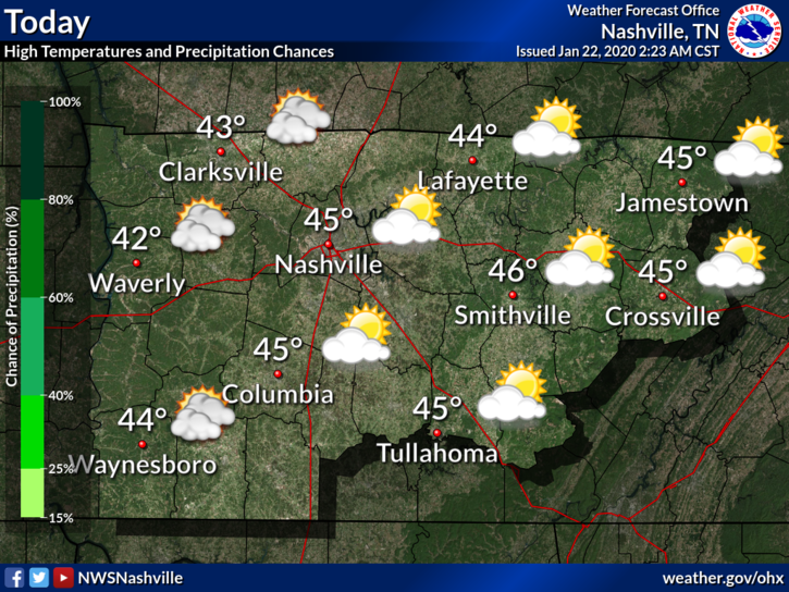
Occasional Shower Today, Otherwise Cloudy

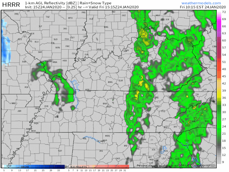
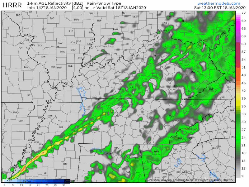
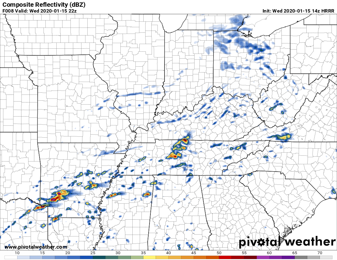
We’ve got a few lingering showers passing through Middle Tennessee this afternoon. Nothing close to a washout, but have the umbrella handy just in case. Here’s the HRRR
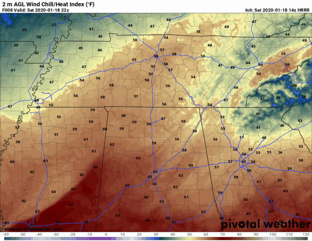
Rain Incoming, Dry Weekend, Warming Trend

Rain Thursday into Friday Morning

The HRRR model shows rain moving in this afternoon (around 2pm):

The NAM3 model says rain closer to noon:

Regardless, plan for rain around lunchtime and after.

Showers will be off and on tonight through Friday, and sorry snow lovers, no snow. Those in the Plateau may see some light flurries Friday night/Saturday morning, but there will be no impacts. read more

Cold And Sunny Until Thursday, Rain Through Saturday Morning

Cool And Clear Next Couple Of Days

As the clouds begin to thin out this morning and into the afternoon, the sun will peek out and “warm” us to 38°. Don’t be fooled by the word “warm”, it’ll still be cold. Some of us may be a bit cooler than that this afternoon, depending on how quickly the clouds move out. Keep that heavy coat in hand if you’re going out tonight as well, lows will be back in the teens and lower 20s as we head into Wednesday. read more

Wakey Wakey Wind Chills 19° Sunday, 10° Monday. & 6 Other Weather Things (feat. Fewer Words!)

  1. Rain should end shortly after lunch.
HRRR model thinks rain ends around 2-3 PM.

2. Winds gusting to 30-35 MPH this morning should relax this afternoon.

3. Cold front tonight. You need a jacket. Wind chills will drop below freezing around 9 PM.

HRRR model wind chills tonight into Sunday morning.

4. It’s going to stay cold. Wake up wind chill 19° Sunday morning. Wind chills in the 20°s all day Sunday. Monday will be worse, wake up to 10° wind chill, with wind chills again only the 20°s all day Monday. read more

Be thunderstorm-aware today.

One weather model, the HRRR, thinks heavy rain and thunderstorms will arrive around 4 PM (give or take a few hours).

The HRRR model thinks these storms may be strong or severe, however, this model may be overstating the severity of the storms (below see HRRR model which expects 1,161 j/kg of surface based CAPE to fuel a pretty big storm or two; this high amount of storm fuel seems unrealistic given the cloud cover, so HRRR may be predicting the storms to be worse than they’ll actually be). read more