
Warmer Air Returns
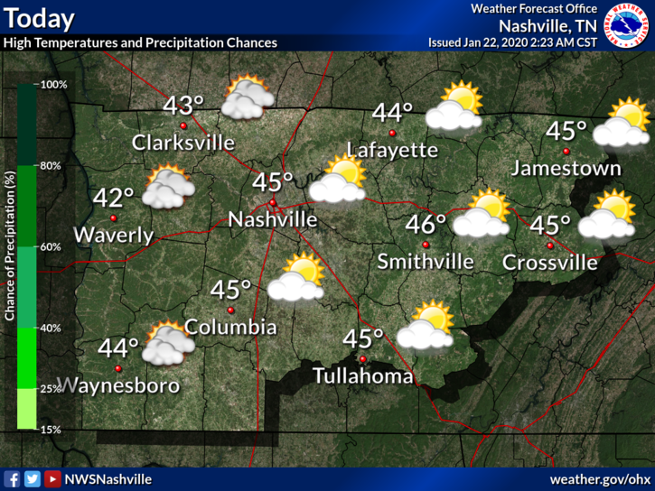
The past few days have been… well cold, to say the least. Our average high for January is right around 48°F and our highs have been falling short of that recently. This will be changing as we move through the end of the work week.
As for today, we will be getting into the mid 40°s – not quite to average but definitely warmer than it has been. You can thank the southerly winds for that.
Clouds will build up as move into tonight out ahead of the next rainmaker.
Next Shot of Rain Thursday into Friday
A developing low will be moving into our area, increasing our rain chances on Thursday afternoon. The warm-up will make it so that rain is the main event. No winter impacts are expected at this time.
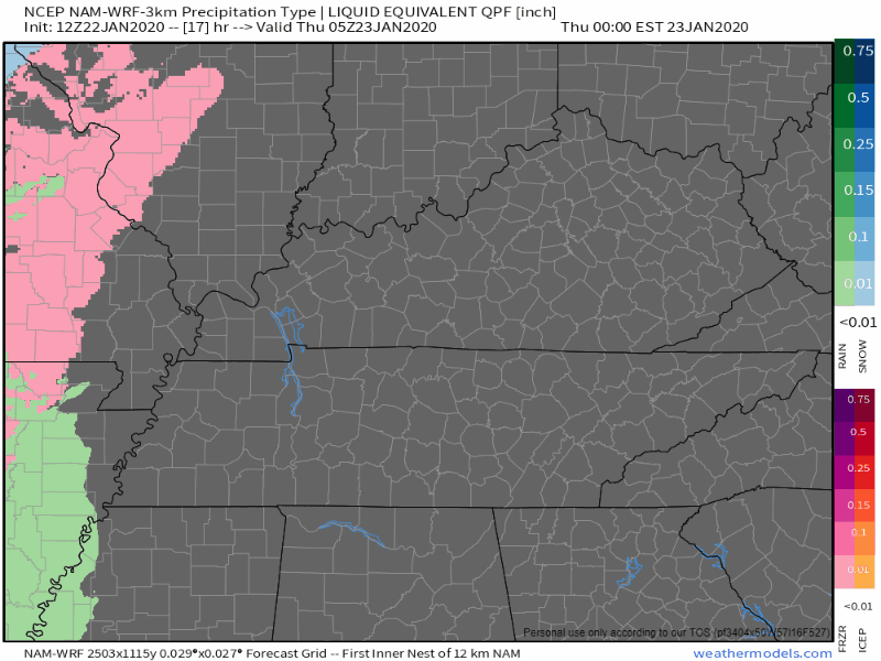
Here’s a look at the NAM3, system tracks north so we get all rain.
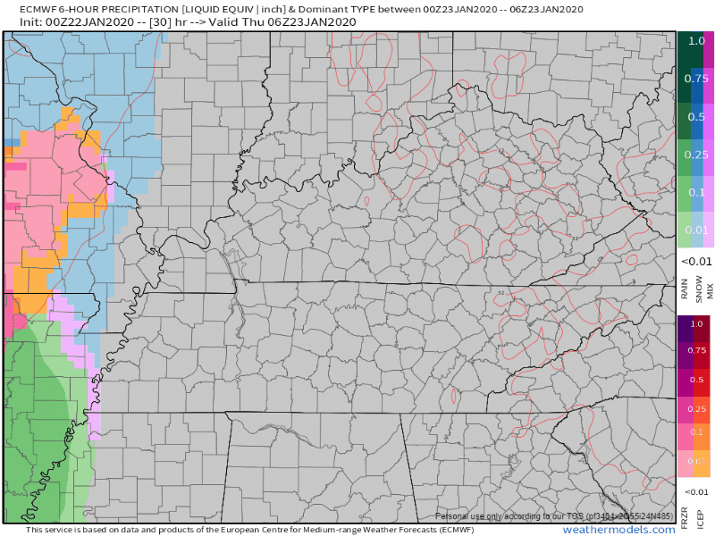
The Euro is on the same page with all rain, no blue/pink stuff (for us).
Rain chances should persist into Friday before the bulk of it moves out of here by noon Friday. Total rainfall amounts will barely reach 1 inch by Saturday.
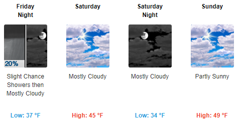
A Quick Look at the Weekend
Warmer weather persists with rainchances deminishing on Friday. Not too bad!
Remember to check back here for updates to the forecast as conditions evolve and like us on twitter @NashSevereWx for more!

Categories: Forecast Blogs (Legacy)
You must be logged in to post a comment.