

Today will be the nicest day of the week. Low 60°s dewpoints = low humidity, but it’ll still feel like summer with a high near 90°.
Gross Summer slowly returns this week
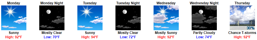
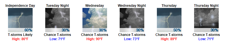
Humidity will increase every day. Today will be on the low end of Sticky, but Monday-Wednesday it’ll be Uncomfortable:


You must be logged in to post a comment.