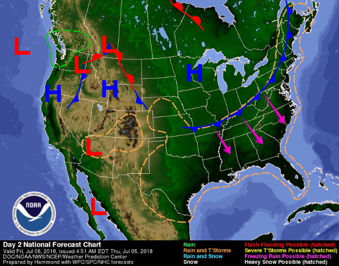
Expect heat and humidity with pop-up afternoon/early evening showers and storms possible this week. Exactly when and where is not knowable.
What we think we know
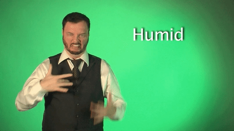
Dewpoints near/above 70° announce near-oppressive humidity.

Expect heat and humidity with pop-up afternoon/early evening showers and storms possible this week. Exactly when and where is not knowable.
Dewpoints near/above 70° announce near-oppressive humidity.
Muggy air returns today. It’ll be more humid than it was yesterday. Dewpoints near/above 70° announce near-oppressive humidity returning this week.
After cool/cloudy Saturday, today we’re back to normal: hot/humid, pop-up afternoon/early evening showers and storms possible. NWS-Nashville wrote:
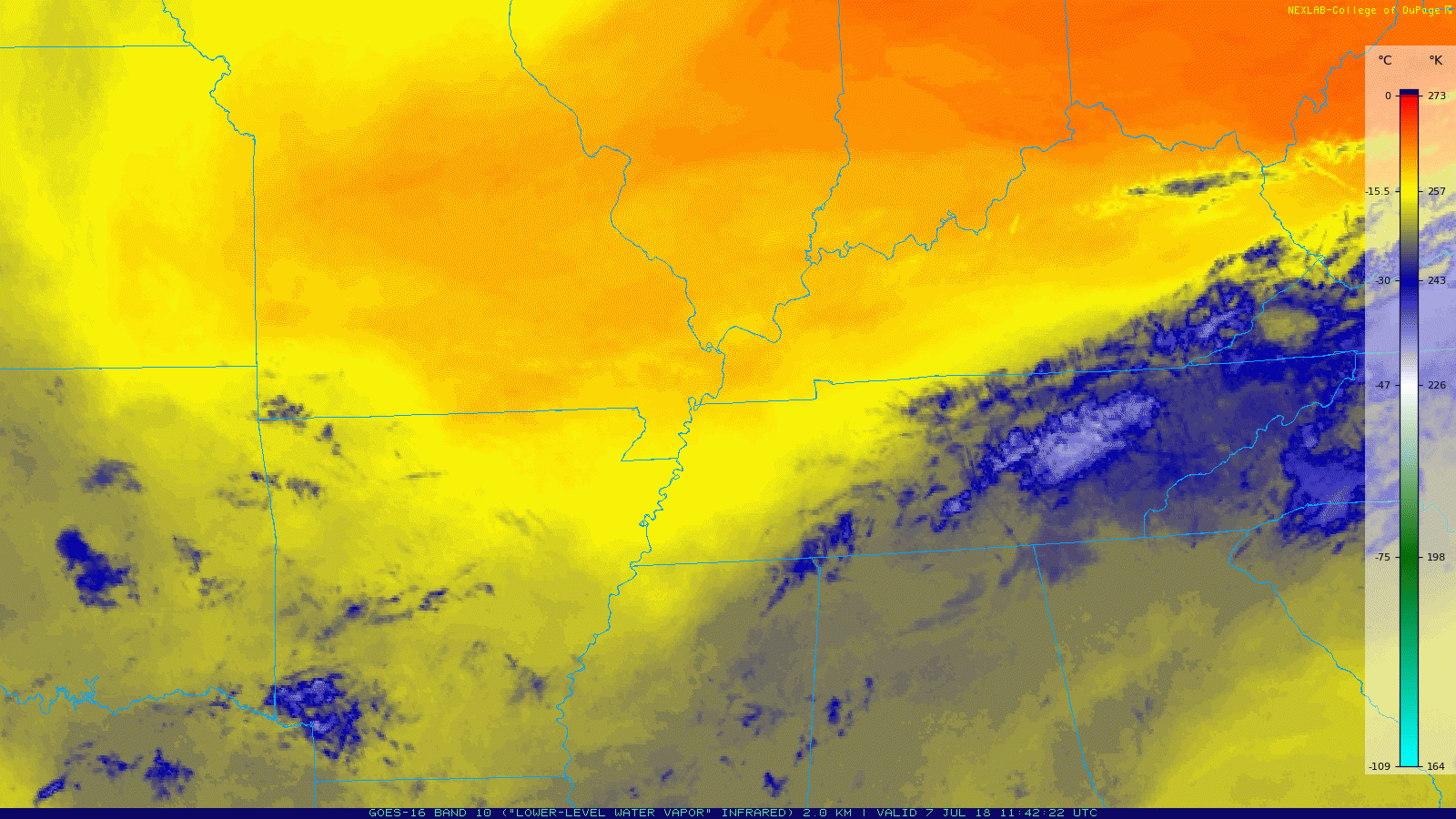
Yesterday’s frontal passage left us right on the fringes between two air masses. GOES-16 Water Vapor imagery (below) does a great job showing this: dry air can be seen as the warm, orange color; moist air is the cooler, blue color.
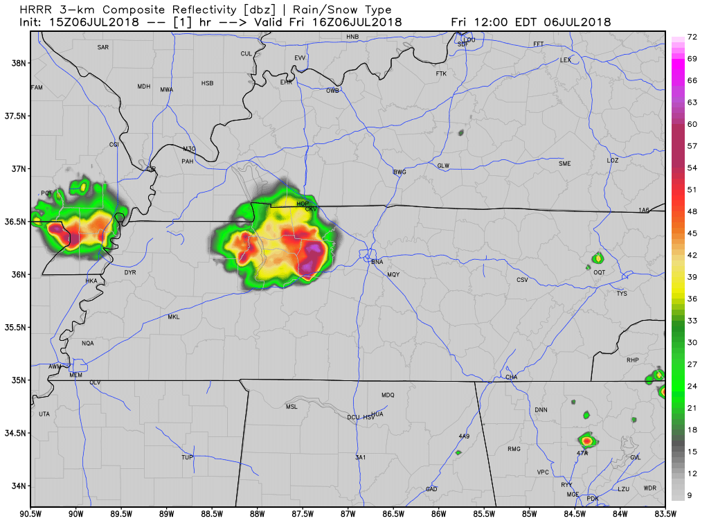
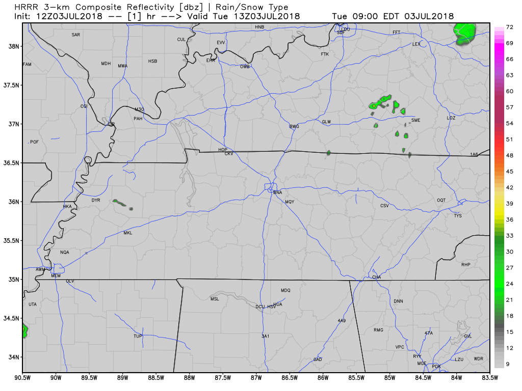
Today’s lunchtime thunderstorm is prompting forecast changes. We thought tonight would be rainy/stormy, but it appears this big thunderstorm has taken all the fuel needed to maintain storms later today and tonight.
NWS Nashville has placed Williamson and Davidson Counties in a Heat Advisory between 11 AM and 8 PM today.
More from NWS Nashville:
The combination of heat and humidity will lead to an increased risk of heat-related stress and illness. The very young, the elderly, those without air conditioning, and those participating in strenuous outdoor activities will be the most susceptible. Also, car interiors can reach lethal temperatures in a matter of minutes.

The United States of America is turning 242 years old today (no… not 2018 years old…)
[Editor’s Note: that’s The Intern’s joke. I would have led with: “We’re celebrating our 242nd birthday with a heat index of 242°.” You decide which joke is better.]
Cloud cover should increase this afternoon, tossing shade and bringing our high temps down. The high will hover around the low 90s. Dewpoints remain in the low 70s – humidity will be “oppressive.”
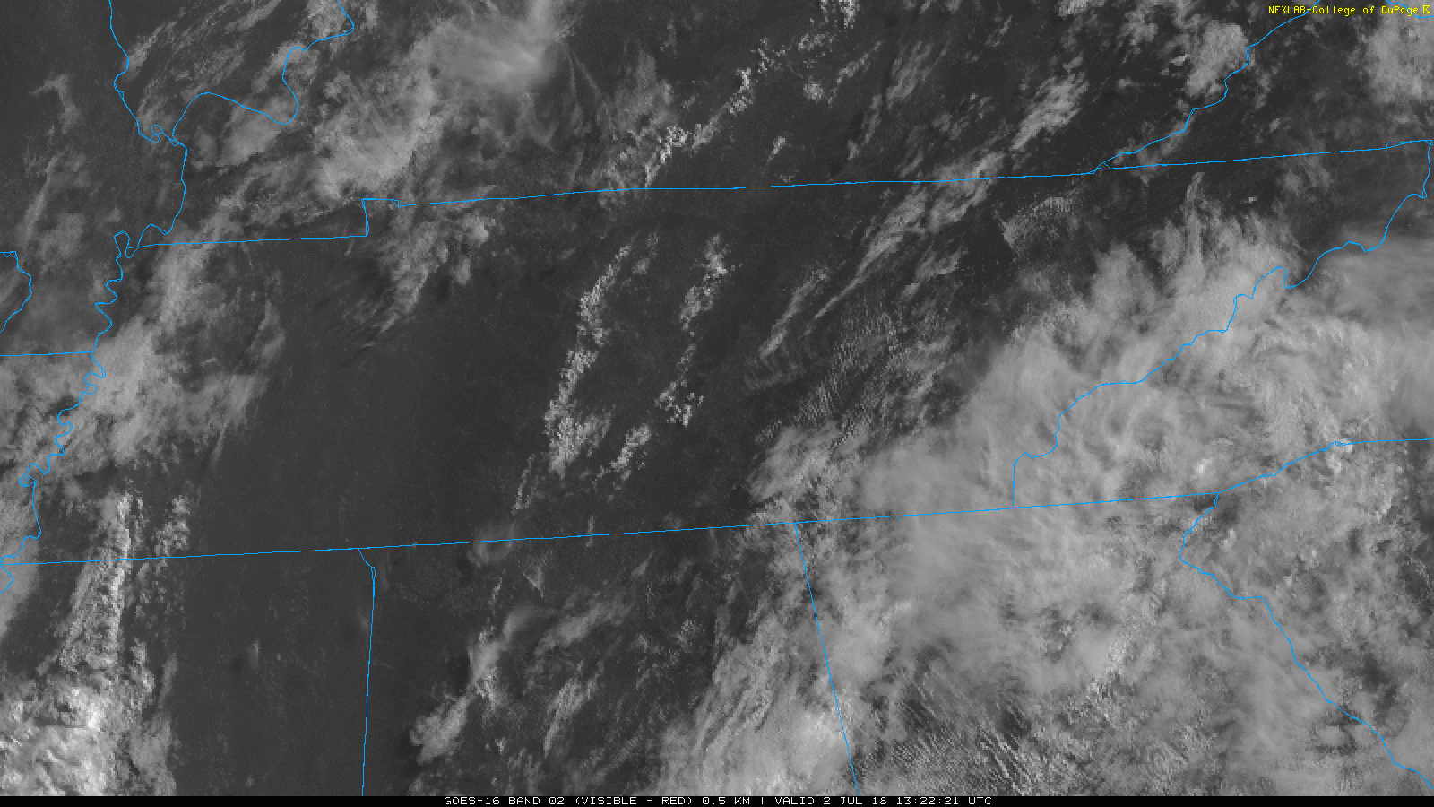
GOES-16 satellite imagery allows us a bird’s-eye view of Middle Tennessee. As of this morning, skies are relatively clear, with a few cumulus clouds. Lack of clouds will allow plenty of sunshine to come through, and temps will begin to climb.
Low 90°s Heat and Oppressive Humidity all week.

The heat index will be near 100° every day in the shade, higher for those working in direct sunlight.

Rain and storm chances remain the same each day this week. There is no reliable way to ascertain whether it’ll be raining during any of your specifically-timed outdoor activities this week, generally, however, we think the following is true:
This morning, NWS wrote:
A slight veering of the surface winds to more southerly today may allow slightly higher dewpoints to advect into the region which could push heat index values into the 100° to 105° range particularly across the Nashville to Clarksville corridor.
You must be logged in to post a comment.