
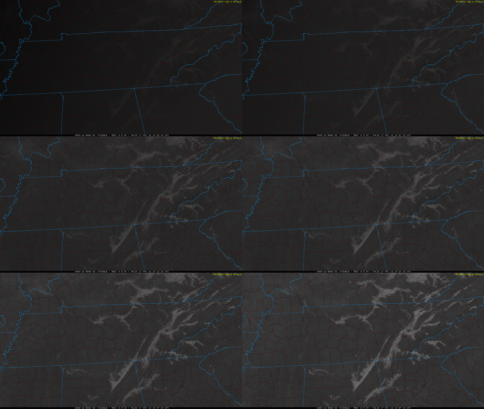
Patchy Freezing Fog – Locally Dense; Possible Through Mid Morning Hours Today
Patchy freezing fog, locally dense, is expected to continue through the mid morning hours today. Some bridges and overpasses may be slick. Black ice may have formed on some area roadways. Take caution as you head out this morning.



You must be logged in to post a comment.