
This is the last day of our summer airmass. Goodbye muggy dewpoints (near 70°)! With clouds, our high temp will only hit 84°.
Here’s the map at 6 AM. Notice all the warm air. But look to the left (west). That’s a cold front and it’s moving east.

This is the last day of our summer airmass. Goodbye muggy dewpoints (near 70°)! With clouds, our high temp will only hit 84°.
Here’s the map at 6 AM. Notice all the warm air. But look to the left (west). That’s a cold front and it’s moving east.
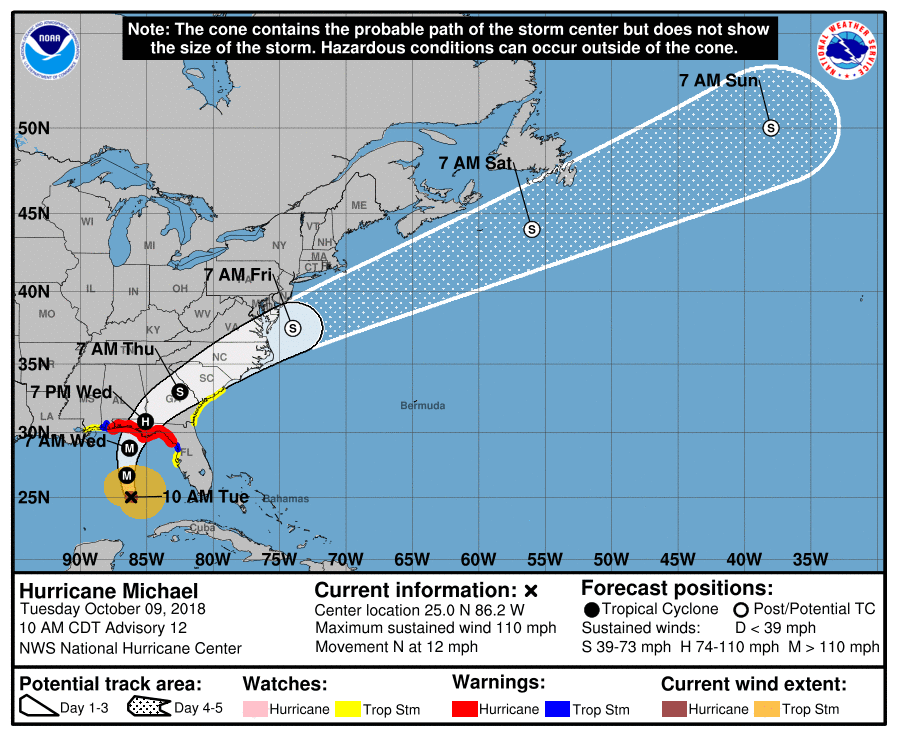
Hurricane Michael strengthened to a category 2 hurricane overnight. It’s still expected to reach Category 3 (major hurricane) status before pushing inland tomorrow.
A cold front from the west will act to guide this storm up and out of the gulf, turning it to the northeast. As seen here on the NHC’s updated track, Michael should miss us all together.
FINALLY! Relief is in sight. But first, we need to get through the early part of this work week.
Temperatures today will again reach the upper 80º range. Looking at a high temperature of 88º in Nashville, with dewpoints in the upper 60ºs through much of the day. Isolated showers and storms will remain possible. However, not everyone will see them.

Love this gif:
Showers and thunderstorms this afternoon should dissipate after sunset.
Monday morning fog possible, especially where rain was seen today.
More high humidity. Hot again Monday (high 88°) with afternoon random pop up rain/storms possible.
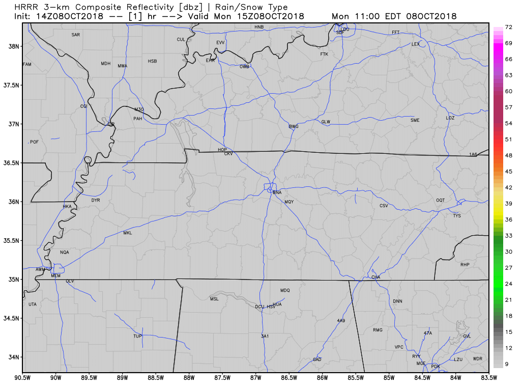
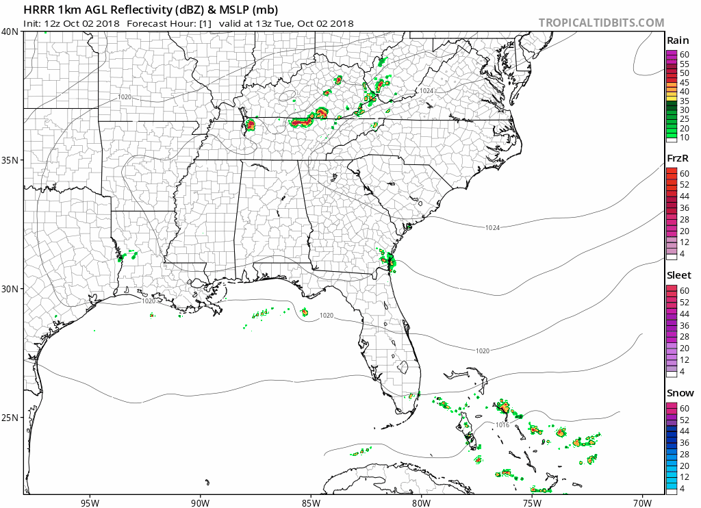
A few late afternoon/early evening rain and storms should develop in today’s hot and humid airmass. Exactly where is unknown. The HRRR model (below) thinks we’re among the rain/storm chosen in Middle Tennessee.
Yesterday we tied the record for the highest recorded temperature on October 5.
We tied the October 5 record high today, 92° set in 1954.
— NashSevereWx (@NashSevereWx) October 5, 2018
Imagine a typical summer day. Isolated showers and storms, hot, humid, etc. Now put that in October and voilà, you have today!
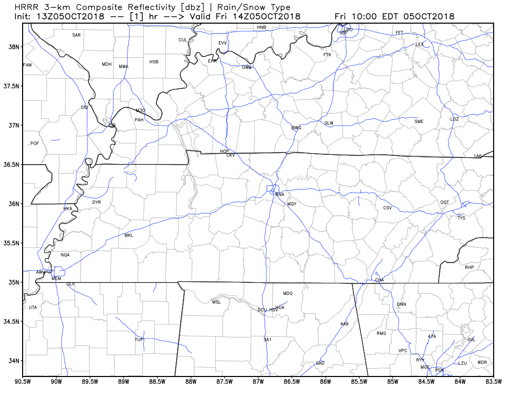
The HRRR model shows isolated showers and storms will be present this afternoon. Keep an umbrella and/or a rain jacket handy just in case you are one of the few who get stuck under an isolated shower this afternoon.
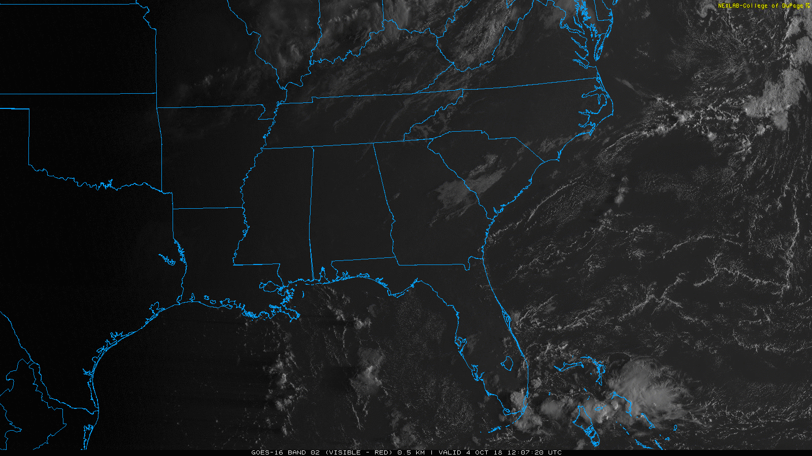
Satellite shows a cloud making boundary to our northwest. High pressure will keep it from pushing through our area. A few clouds could be thrown our way, but today we’ll be mostly cloud-free.

Hot, humid, ugh. This should be fall, not summer!
High temperatures will be several degrees warmer today when compared to yesterday. We are looking at a high of 88º with dewpoints hovering right at 70º. Keep the water handy!
We’ve got a few showers hanging out just N of I-40, drifting east. They’re part of a weak shortwave trough. We could see more showers and a few storms later this morning and afternoon with daytime heating.
You must be logged in to post a comment.