
The high temperature at Nashville so far is 97°. This breaks the record high for October by 3°. The high temperature at Crossville so far is 91°. The previous record for October was 86°, set multiple times.
— NWS Nashville (@NWSNashville) October 1, 2019
[Editor’s note: Notice their wording. They didn’t say it breaks the record for October 1. They said it breaks the record for October….all of it.]
Record-breaking temperatures through Thursday
Afternoon high temperatures in the mid and upper 90s through Thursday! Heat index values near 100 degrees. No rain in sight. Fire danger increases.

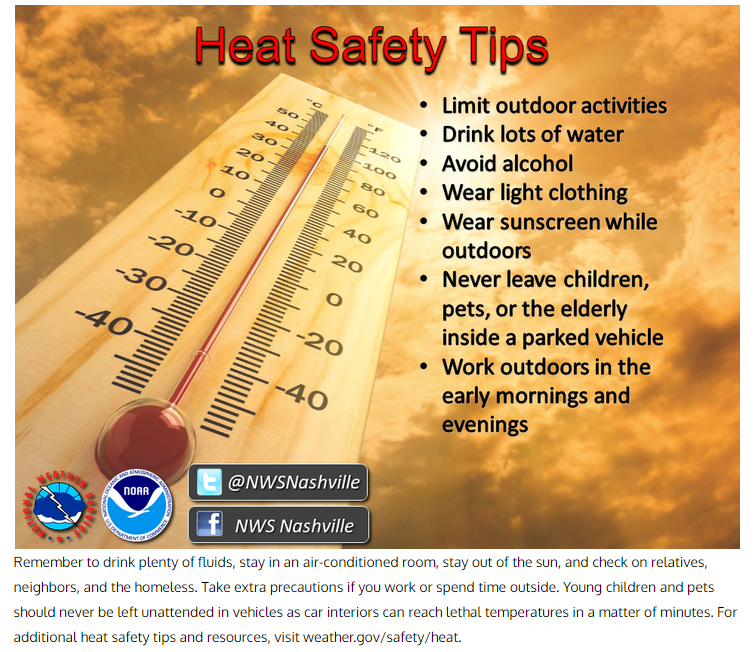
Here are some heat safety tips from the National Weather Service:
Relief is on the way for the weekend!
A cold front will drop south through the Tennessee Valley Thursday night into Friday bringing a much-needed cooldown. High temperatures will be in the low to mid-80s with dew points gradually falling back into the 50s. Rain stays away for the most part but could make a return Sunday. Here is the latest from the National Weather Service:
timing/strength differences noted between the latest ECMWF/GFS solutions as it comes to developing convection late Sat night thru Mon. A stronger cold front will position itself across the cntrl MS River Valley by daybreak Sun and push slightly southeastward bisecting mid state region SW to NE by daybreak on Mon.
Here is the GFS model which shows some showers making it into the region late Saturday:
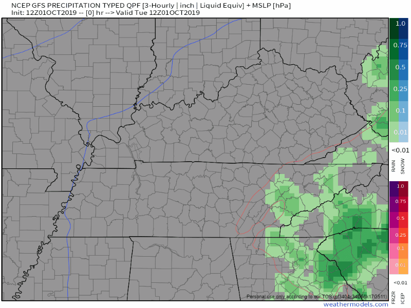
Given that this is still 4-5 days away, our confidence in a certain model is low, so be sure to follow along through the week as the details become clearer.
Stay cool and check back for updates!

Categories: Forecast Blogs (Legacy)
You must be logged in to post a comment.