At 10 AM a heavy rainstorm was moving across Nashville south of I-40 and all of Will Co. This morning’s weather balloon showed over 2″ of precipitable water content, setting us up for Day 1 of what should be a soggy trio of days ahead.

At 10 AM a heavy rainstorm was moving across Nashville south of I-40 and all of Will Co. This morning’s weather balloon showed over 2″ of precipitable water content, setting us up for Day 1 of what should be a soggy trio of days ahead.
Showers and storms will start to dot the radar this afternoon.
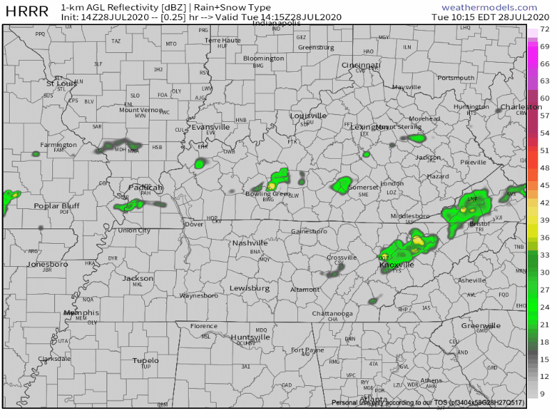
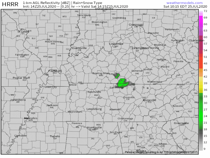
HRRR Model fires up storms just after noon and keeps them around a few hours after sunset.
Temperatures will still be in the low 90s but where showers do form, expect a brief cool off.
Scattered showers and thunderstorms expected to make an appearance this afternoon.
HRRR model below is not showing great chances for Nashville this afternoon, but make no mistake. We’re all fair game for typical pop-up storms today. Storm organization will increase later in the week.
We’re still following that typical summertime pattern: hot and humid with some afternoon storms.
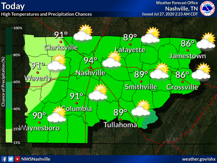
The dew point will reach around 73° today. This will help those heat index values to get up into the upper 90s and possibly even 100 in some areas.
Same forecast as the past several days: hot, humid, chance for mainly afternoon/evening thunderstorms.
Will it rain at your bbq at 5PM? We simply don’t know. Someone’s bbq will probably get rained out at 5PM, but we can’t pinpoint exactly who will get it and when it will happen. Not in the summer.
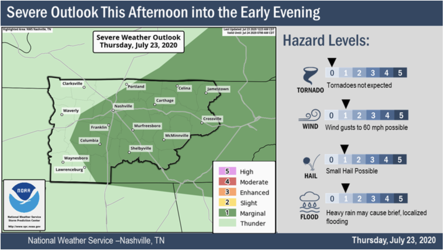
Saturday: Be Aware of Heat Index and Scattered Thunderstorms
Same forecast. Again.

The dewpoint will hover around 72º all day, making for a heat index just under 100º.
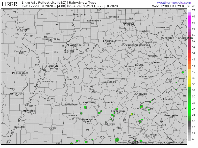
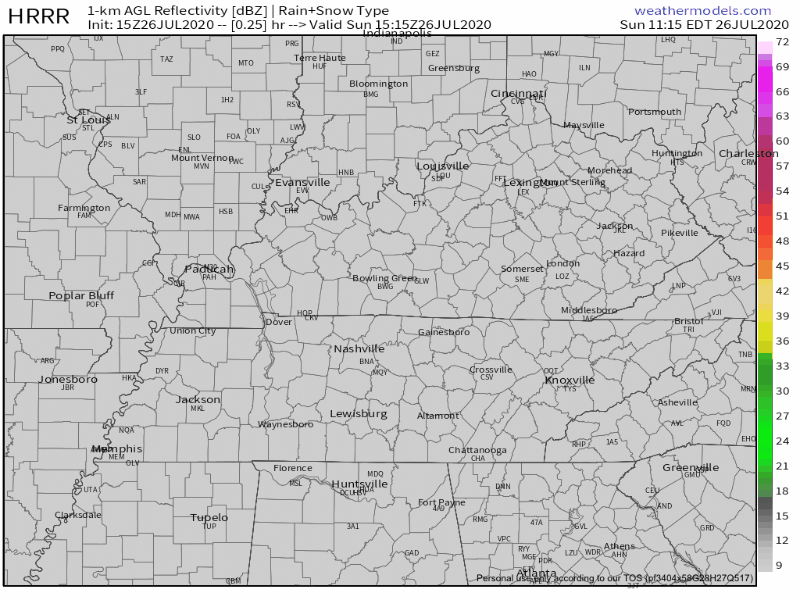
Watch for scattered thunderstorms starting late morning and extending to sunset this evening. Predicting storm locations in the summer is near impossible, especially this far ahead of time. Here is the HRRR’s best estimate of where and when storms will arrive:
At 10 am, the heat index has already been recorded at 90° and the dew point at 72°.

Heat index values will be in the upper 90s today, but some places could see some feel-like temps of 100.
The dew point will stay in the lower 70s today, which could help to spark some showers and storms.
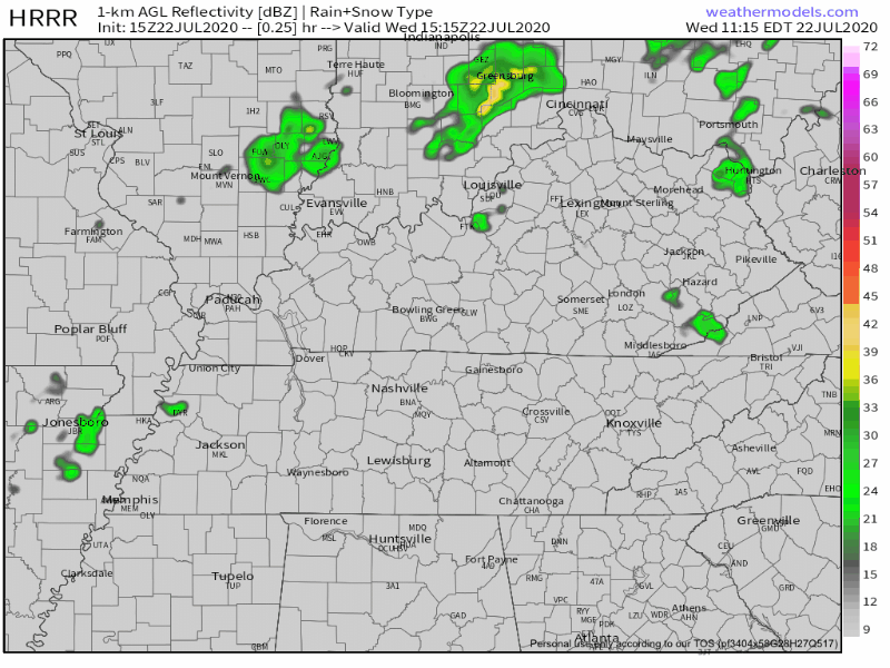
Rain streaked by this morning north of I-40, with a few downpours south of I-40. Clouds were dragged along with it. This may wreck our rain/storm chances this afternoon.
Maybe.
Why?
Most summertime afternoon storms occur because of the heat-of-the-day. Cloud cover has kept the highs down, interrupting/delaying this storm-making process.
Couple degrees cooler this afternoon because of more cloud cover. Highs only around 93…
But it’s still oppressively humid.
Already East Nashville, Fontanel, Riverwalk are in-line for storms. Will it storm in your backyard? Maybe or maybe not. HRRR Model thinks someone will get the water balloon during the afternoon/evening hours.
Another typical summertime forecast. It’s miserably hot and humid with high temps today in the mid 90s.
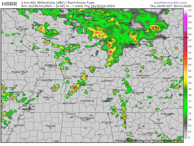
Afternoon storms are bit more likely today. Showers/storms will break out across the region around 1 PM and will come and go. Some storms could contain strong winds and heavy downpours. Will you get one? Who knows, models do not do well predicting the “where,” although they do OK with the “when.”
You must be logged in to post a comment.