
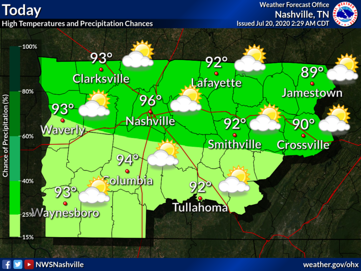
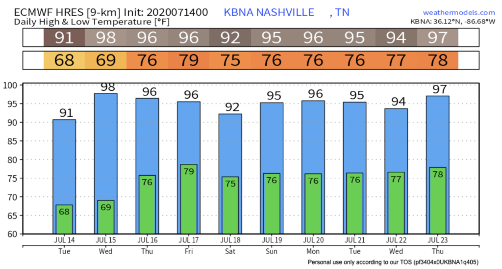
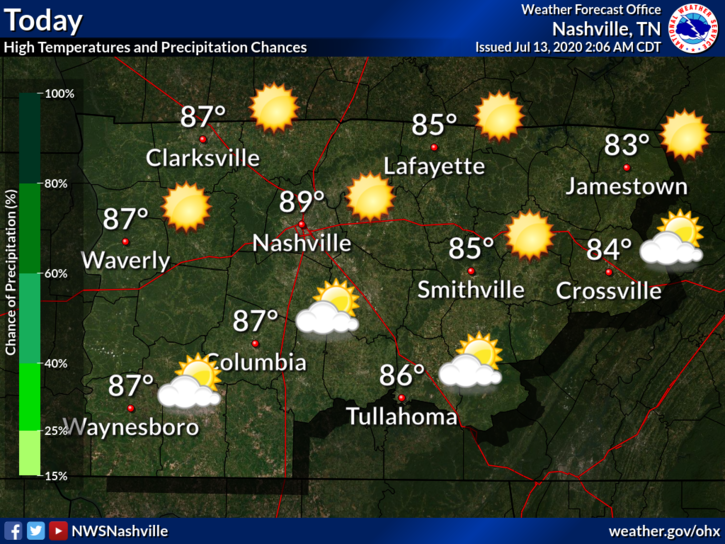
A Hot, Potentially Stormy Start to the Week
You know the drill by now: hot and humid today, with a chance for scattered showers this afternoon.
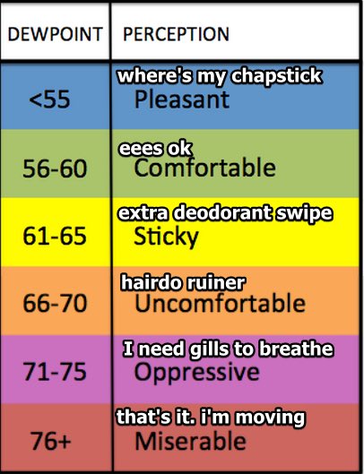
The dewpoint will hover around 71º. As of 11am, the heat index at BNA was already 100º, so I wouldn’t be surprised if we approached a heat index near 105º by this afternoon. If the temp soars, the humidity will come down a bit. But if not, the humidity will stick around. Either way:


You must be logged in to post a comment.