
Is it really the 2nd day of August? With this weather?
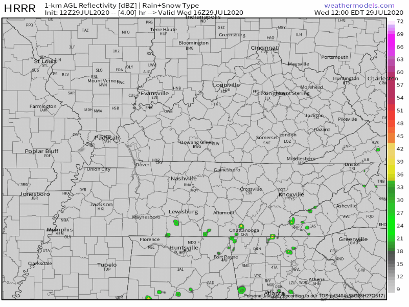
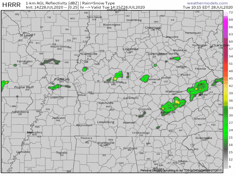
A surface cold front swept through the area yesterday and completely wiped out that hot and superhumid airmass.
Dewpoint temperatures have backed off significantly, and will remain manageable for the rest of the week.


You must be logged in to post a comment.