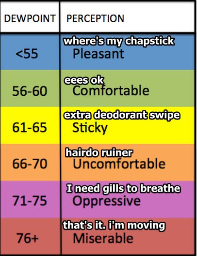
It’s humid out there. Dew points sitting in the low 60s, or what we call “extra deodorant swipe” humidity.
Rain on radar:

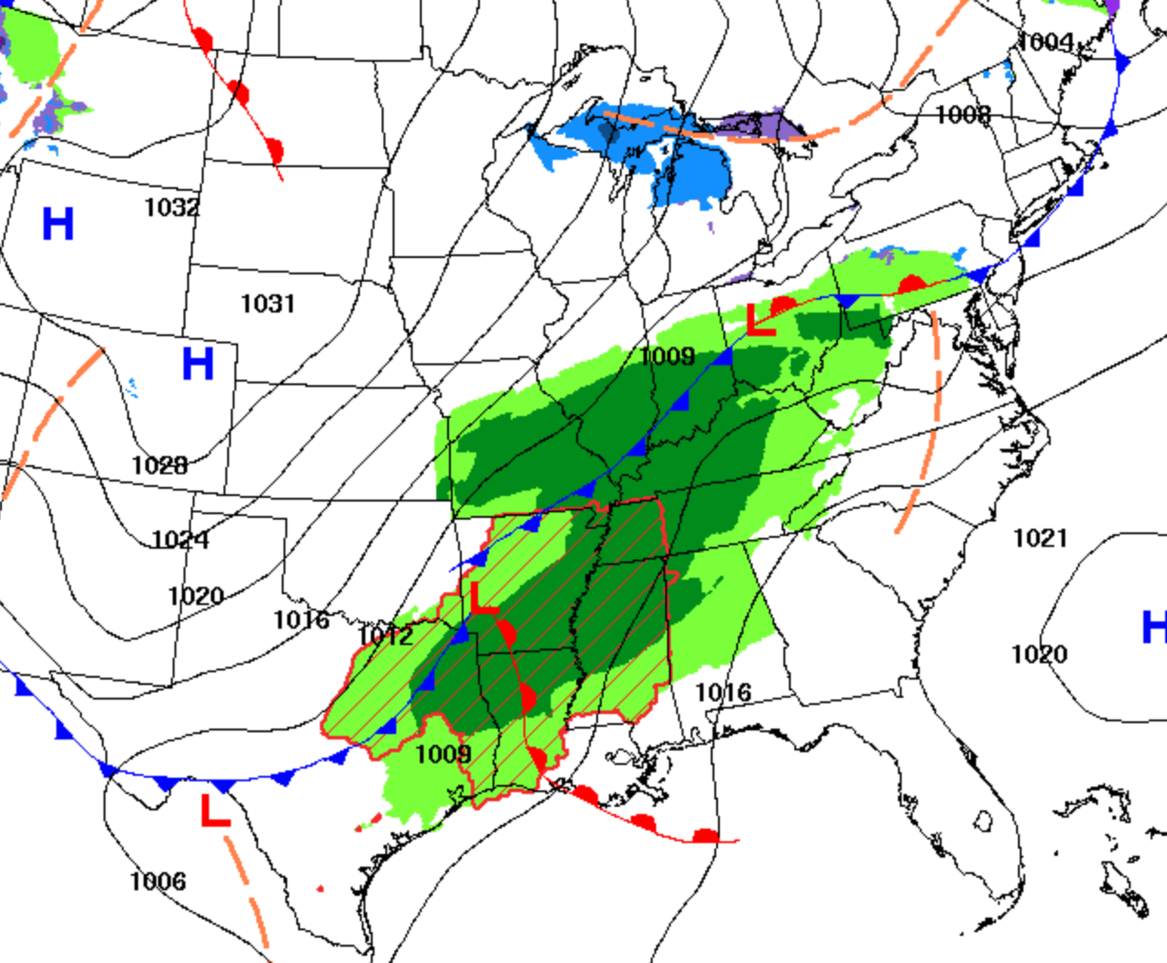
A weakening shower band is slowly moving out, while at 11:16 AM, another band of light rain was on its way north from Alabama.

It’s humid out there. Dew points sitting in the low 60s, or what we call “extra deodorant swipe” humidity.
Rain on radar:
A weakening shower band is slowly moving out, while at 11:16 AM, another band of light rain was on its way north from Alabama.
Pop-up showers will develop around mid afternoon, but most of those should be west of us. Possible one could wander overhead, but keep your outside plans. No severe weather expected.
Humid today, with dewpoints in the low 60s. Not quite sweltering territory, but we are getting there.
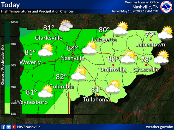
There is a possibility of some showers and thunderstorms throughout the day today. There will also be a southwest wind blowing at 15 mph with some gusts reaching 25 mph. High temp will be 84°.
Tonight the winds will die down and there will be mostly cloudy skies. Lows will be around 65°.
Today
Highs today will reach the mid 80’s, and skies will be mostly sunny throughout the day. The winds will pick up slightly at 15-20 mph, with some gusts up to 25 mph. As we move into tonight, temperatures will bottom out around 65º.
Wednesday
It’s raining this morning, obviously, although most of the rain is heading into Nashville. Will Co will get some rain this morning, just not as much as those further north.
By 1 or 2 PM, rain should clear out. That’s what the HRRR model thinks . . .
Gloomy Tuesday. Our high temperatures sit in the low 60s, while rain chances kick up for the afternoon and evening.
Severe weather is in Texas today.

When I say rain, I don’t mean a downpour, mainly light showers.

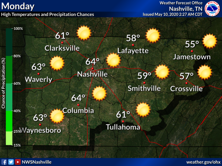
Although cool, it’s looking to be a nice day today. The high temp will reach around 63° with sunny skies.
Clouds will return overnight, with temps dropping to 44°.
Rain chances increase after 9 am Tuesday. Highs will be in the lower 60s.
After another chilly, winter-like morning, the rest of your Sunday will be very nice with highs near 70 and dry.
Bit breezy with gusts of 15-25 mph possible.
Low 40s overnight into Monday morning. (Much better than near-freezing lows)
Today
With an abundance of sunshine this morning, temperatures are climbing quickly. Highs today will only warm to the upper 50’s to lower 60’s. There will be a light breeze, too.
The average high temperature in Nashville for May 9 is 77º, so we are quite a bit below that mark today!
Today
Rain will continue this morning into the mid/late afternoon with winds around 15mph.
The rain will clear out and temps will drop into the 30’s overnight.

Tonight/Saturday morning
Friday’s rain will result in a cold front that will bring the frost we are expecting Saturday morning. A freeze warning that has been issued by the National Weather Service from 1am until 9am Saturday.
You must be logged in to post a comment.