

A lot of weather to unpack over the next few days!
Beautiful Saturday
Clouds are hanging around this morning, but will be moving out by this afternoon, leaving plenty of sunshine.
High temps will reach around 55°.
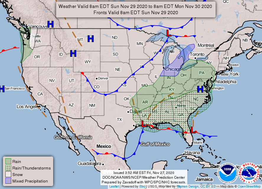
Rain Moves in Sunday
We could begin to see some rain by 6 pm Sunday. It will stick around into Monday, a bulk of the rain exiting by noon.


You must be logged in to post a comment.