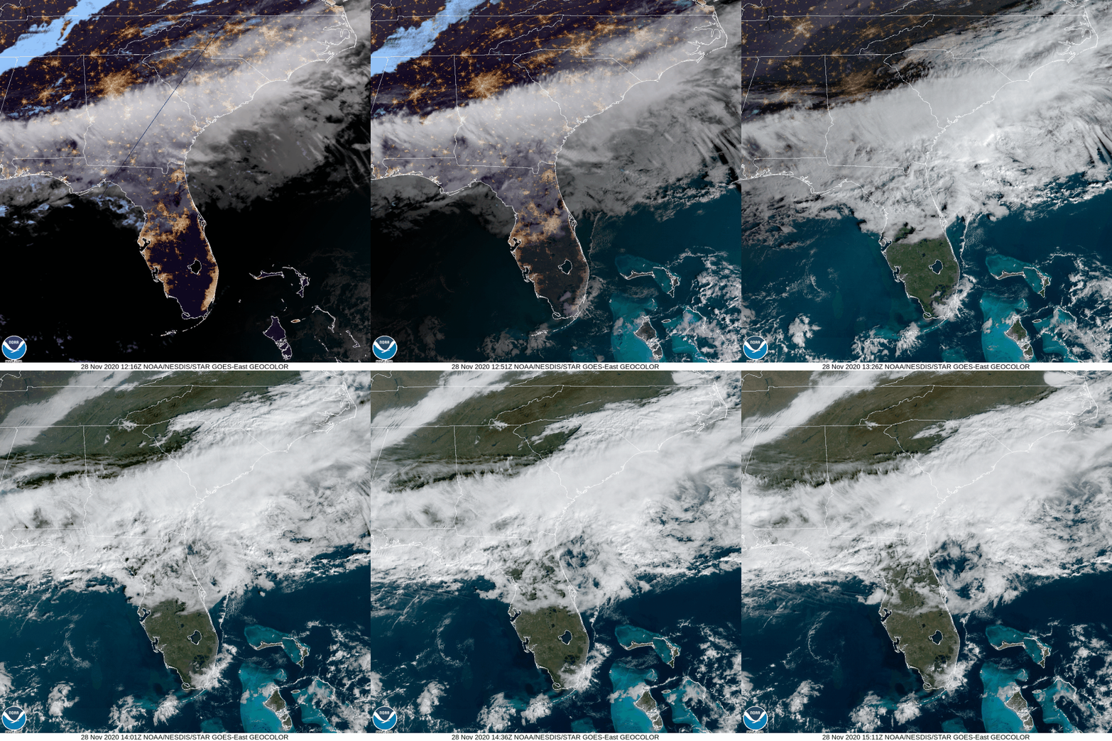
A lot of weather to unpack over the next few days!
Beautiful Saturday
Clouds are hanging around this morning, but will be moving out by this afternoon, leaving plenty of sunshine.
High temps will reach around 55°.
Rain Moves in Sunday
We could begin to see some rain by 6 pm Sunday. It will stick around into Monday, a bulk of the rain exiting by noon.
Anywhere from one and a half inches to even two inches of rain is expected. There could be locally higher totals.
Mixed Precip Monday?
We need freezing temps (32° and below) and moisture for any snow to occur.
Moisture will still be hanging around from the system moving through Sunday night.
The high temp for Monday will be in the lower 40s, which will around 3 AM. Temps will steadily decrease throughout the day, reaching around 33° by 6 pm.
The Euro model shows some mixed precipitation forming around noon, then transitioning into snow by 6 PM. It will be clear of the area before midnight.
The key factor in some frozen precip forming will be the temperatures. If they dip below freezing, then we could see some mixed precipitation and snow. However, if it stays above freezing, we will be seeing just rain.
This is still three days out, so models could change.
Looking Ahead
You may want to crank the heat up Monday and Tuesday night. Lows are expected to be in the mid 20s.
Here’s what the National Weather Service has to say about temperatures for next week:
It looks like cooler temperatures are going to stick around next week after Tuesday, with lows in the 30s and highs in the 40s/low 50s.
NWS Area Forecast Discussion
Our next chance at seeing rain comes Thursday.
NEW MERCH OUT NOW!
Link Below
Categories: Forecast Blogs (Legacy)


You must be logged in to post a comment.