Storms are more likely Wednesday, less likely Tuesday.
Tuesday’s “Meh” Storm Risk
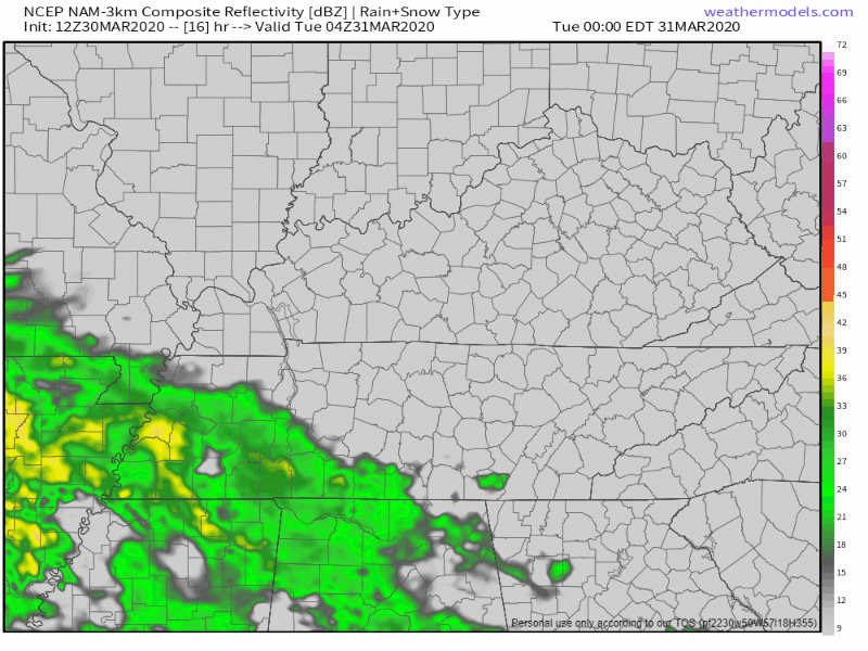
No/few storms Tuesday thru 7 PM per HRRR model:
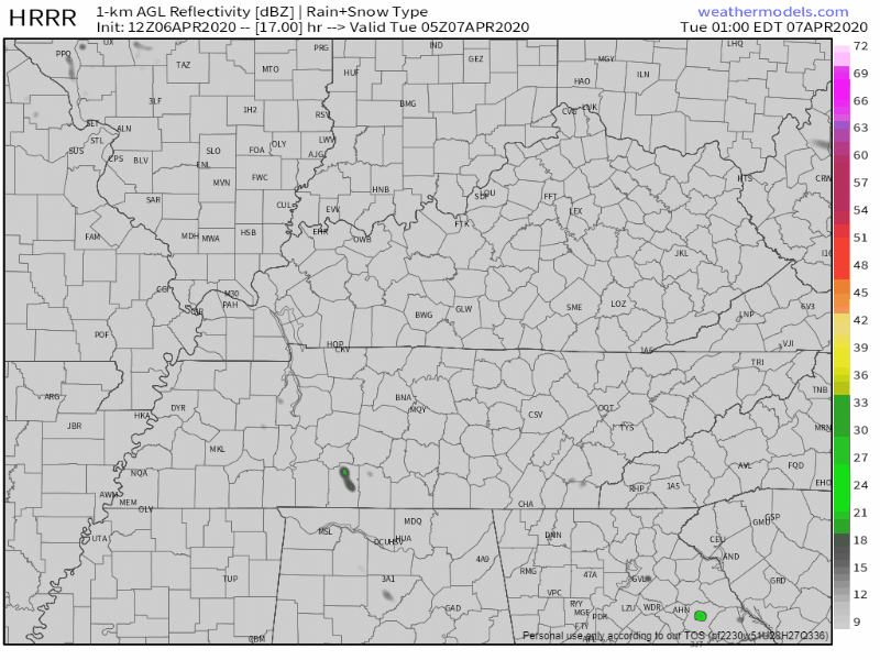
Models are quiet Tuesday night. Storms show up on the NAM3 model around sunrise Wednesday morning but those look weak.

Storms are more likely Wednesday, less likely Tuesday.
No/few storms Tuesday thru 7 PM per HRRR model:
Models are quiet Tuesday night. Storms show up on the NAM3 model around sunrise Wednesday morning but those look weak.
Mostly sunny, highs Sunday (today) 77°, and 79° Monday.

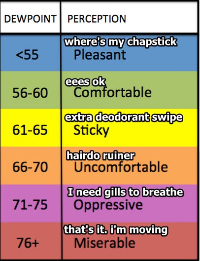
Humidity will rise each day this week. Dewpoints in the low 60s Tuesday and Wednesday.
Models believe it’ll rain Tuesday.
A specific ETA is unknown because although models agree it’ll rain, they aren’t sure when. Rain could begin as early as Tuesday morning or as late as Tuesday afternoon, and should clear out by Wednesday morning. The rain should come in short waves with no expected rainouts, but, on Tuesday night . . .
We have a few light showers to our northwest. A sprinkle or two that may or may not reach us before noon. Other than that, expect clouds and a high near 75°F.
The warm trend continues. High temperature is about the same for Sunday. Chance of showers will linger but will be low.
Plenty of sun today, 71° the afternoon high. If you look at radar you’ll see showers in west Tennessee moving east, but models do not think they’ll get here.
Saturday is almost the exact same, a little warmer at 74°.

Thursday’s high reaches 66° with mostly sunny skies. Copy and paste this for Friday, but with a high temp of 77°.
This was me reading this forecast.
Saturday starts partly sunny, then a light rain system moves close by Saturday night and Sunday. It may or may not produce local rain. Models think the system is weak, lacking rainmaking and storm-making ingredients. Some of us may get a little rain, no washout.
Today, after a chilly morning, the sun will warm us up to 57° as north winds attempt to keep things relatively cool.
The main story is a gradual increase in temperatures under a mix of clouds and sun. No rain in expected until this weekend. More on that in a bit.
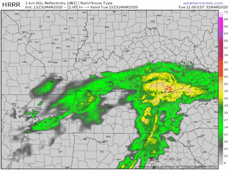
Our early morning round of rain dropped about a half inch of rain across our counties leaving us with a soggy feel to the day. At the time of this writing, another round of mainly light rain is incoming from the west. HRRR thinks this will be the last blob of the day with mainly scattered showers after that. HRRR through 1:00 a.m.:
Increasing clouds and 70° this afternoon.

Rain begins to push in from the West and South early Tuesday morning hours. The NAM3 model thinks rain will last all day. Nothing severe, just gloomy and soggy.

Sunday (today): Dry, sunny, high of 71°, 15 MPH winds with gusts as high as 25 MPH.
Monday: Copy and paste Sunday, but with a high of 69° and a light breeze.
This is perfect weather if you ask me.
Both the EURO and GFS models agree it’ll rain on Tuesday. While rain is expected to begin Tuesday morning, the good news it that it will move out by Tuesday evening/night.

Tonight’s severe weather threat is over. We really dodged a bullet with only a couple severe thunderstorm warnings.
As it passes, and we all head to bed, we’ll lose the threat of severe weather.
You must be logged in to post a comment.