Category: Forecast Blogs (Legacy)

Rain Tonight Transitioning to Splat/Melt Snowflakes Monday, Wind Chills and Temps Drop Below Freezing Monday.

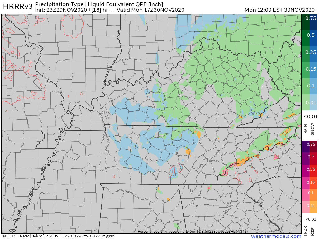
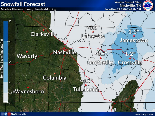
  • Snowflakes mixing with rain possible while we sleep overnight. No accumulation.
  • More snowflakes possible again Monday mid-morning into the afternoon. Accumulation unlikely.
  • Wind chills will drop Monday into the 20°s.
  • Temps should drop below freezing Monday night around dark. Snow should have departed by then, but black ice may form on wet roads late Monday night/early Tuesday morning.
  • Check back in the morning and through the day for updated information.

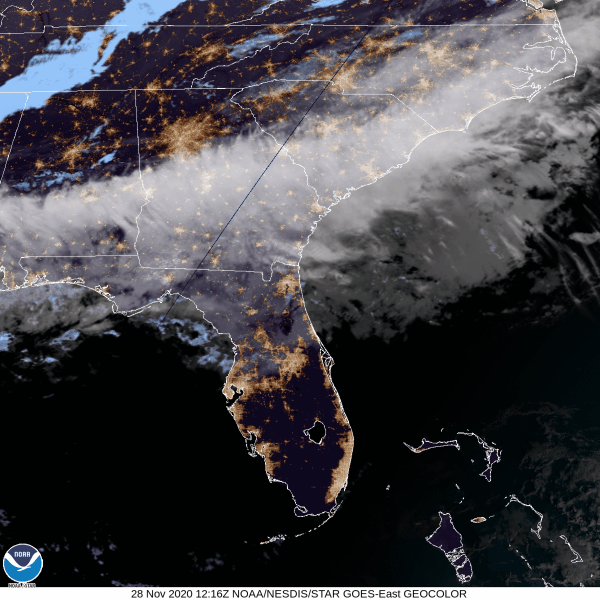
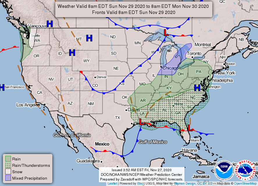
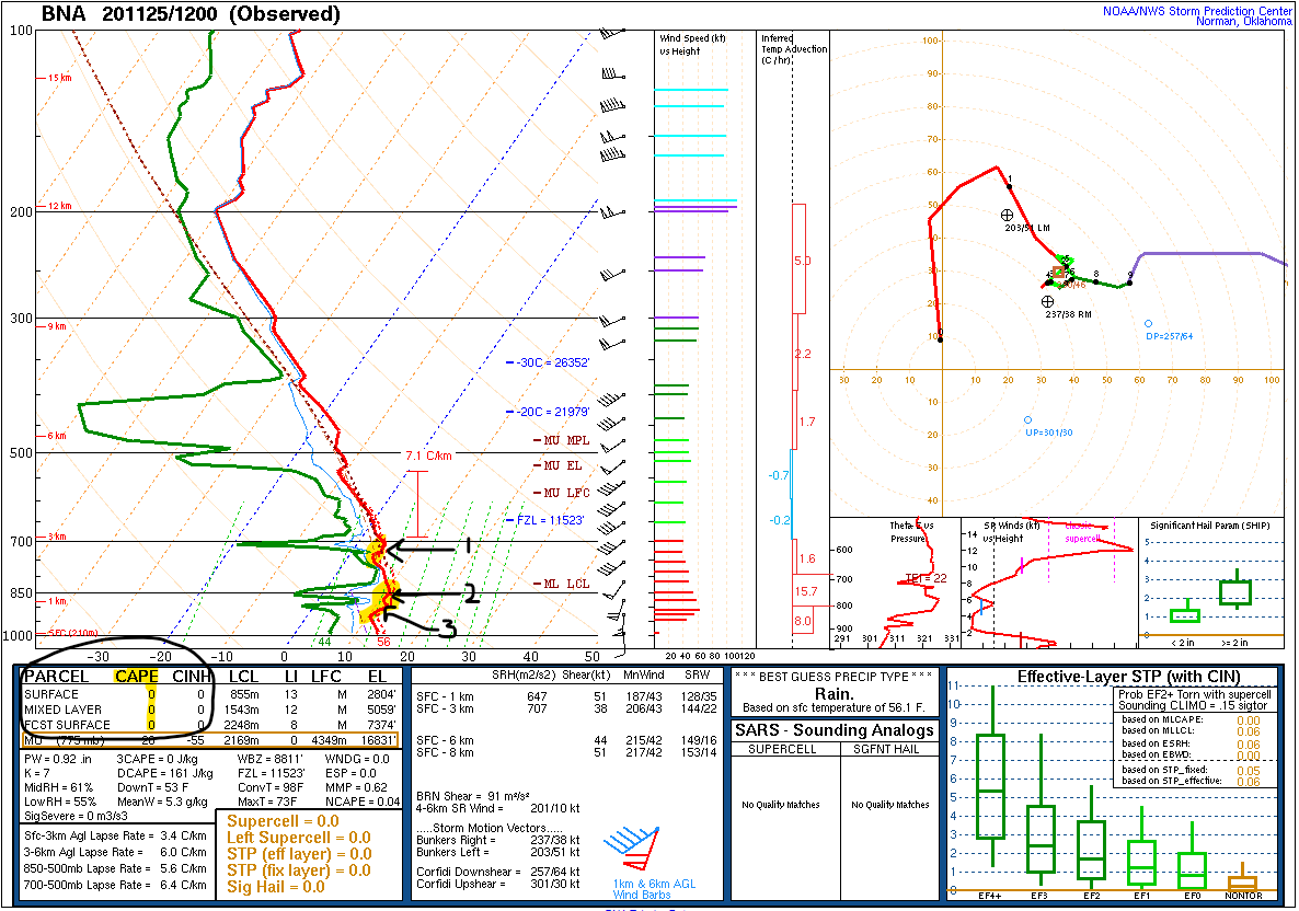
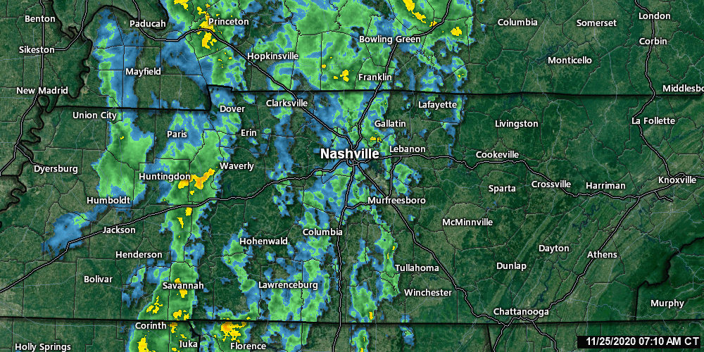
Rain will continue off and on tonight and overnight.

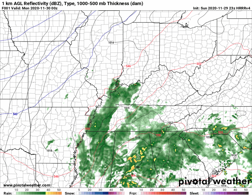
Forecast rain totals increased slightly from this morning. 1.00″ on average, but local rain gauges will vary. More rain is likely southeast (Nolensville, Antioch, College Grove, Franklin). Less rain is likely northwest (Bellevue, Bordeaux, Joelton, Fairview). read more

Rain Tonight-Overnight, Snow Splat/Melt Monday (maybe a flocking?) with Bitter Cold Wind Chills.

Our quiet November is about to change.

Sunday: All Liquid Precip

Daylight hours Sunday should be dry. Rain expected around sunset or shortly thereafter.

Euro Model shows a 6PM start time.

This is a soaker. NWS-Nashville lists 0.75″ but that’s an average. Data suggests more rain southeast (Nolensville, Antioch, College Grove, Franklin) and less rain northwest (Bellevue, Bordeaux, Joelton, Fairview), but that line could shift a bit here or there and give everyone 1.0″ or 0.5″ or less. Some may see more than 1″. We’d rather see less rain to limit the potential for black ice Monday night into Tuesday morning. Here’s the HRRR model total rainfall: read more

Enjoyable Start to the Weekend! Details on the Mixed Precipitation Event Monday & Tuesday.

Friday: Mostly Sunny & Warming Up

Another beautiful day is in the books for us today! High temperatures will hover in the low 60’s and rain should stay well to our south. Clouds will clear up for plenty of sunshine!

The Main Event: Splat & Melt

On Sunday, a low pressure system will take shape to our southwest. This will bring us lots of rain Sunday night into Monday. read more

Watching for Unlikely PM Storms Today, Mixed Precip Chances/Cold Early Next Week

Visible Satellite as of 1:04 pm.

Sunshine Incoming

As of 1:00 pm, a cold front is moving east through west TN. The widespread clouds we’ve seen so far today are also moving east, leaving us with what could be a partly sunny afternoon.

In some scenarios, this would destabilize the air above our heads enough to create damage-making severe weather. However, today, the general mood of computer models and forecasters is somewhat chill. read more

It’s Not Time To Panic/Party but Behold a Blog about Tornado and Snow Chances.

NWS-Nashville writes a technical long form forecast discussion twice a day, every day, 365 days a year. In some years 366 days a year. One is published sometime between 2 AM and 4 AM, another 12 hours later. These long form discussions cover the next seven days. NWS-Nashville is the essential weather infrastructure in Middle Tennessee. Without them, the entire weather enterprise collapses. #Thanksgiving. read more

Inversions and Instability: A Look at Damaging Wind & Tornado Potential Wednesday.

A cool, pleasant day ahead with high temperatures reaching low to mid 60’s and mostly sunny skies.

It’s a bit breezy today with a south wind at 10-15 mph gusting as high as 20 mph.

Rain and Storms Wednesday: Severe Weather Possible.

A warm front will lift across Middle Tennessee early Wednesday. Meanwhile, a strong low pressure system will move north of Middle Tennessee late Tuesday night into Wednesday, dragging a cold front through our area by Wednesday night. This sets up a rain and potential strong/severe storm event. read more