
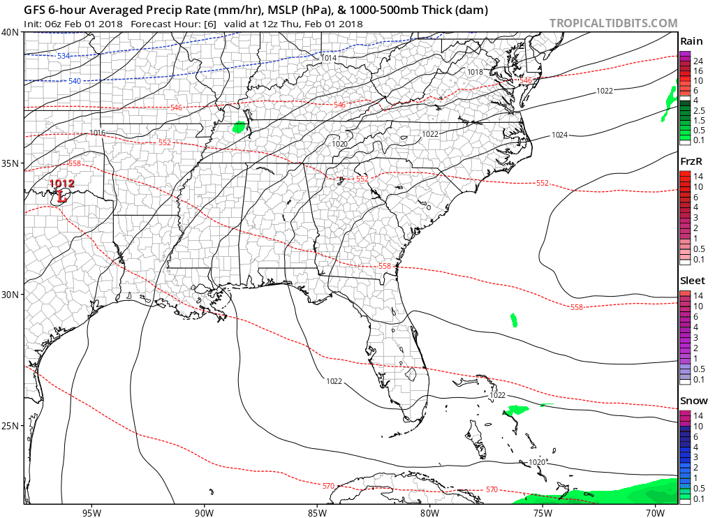
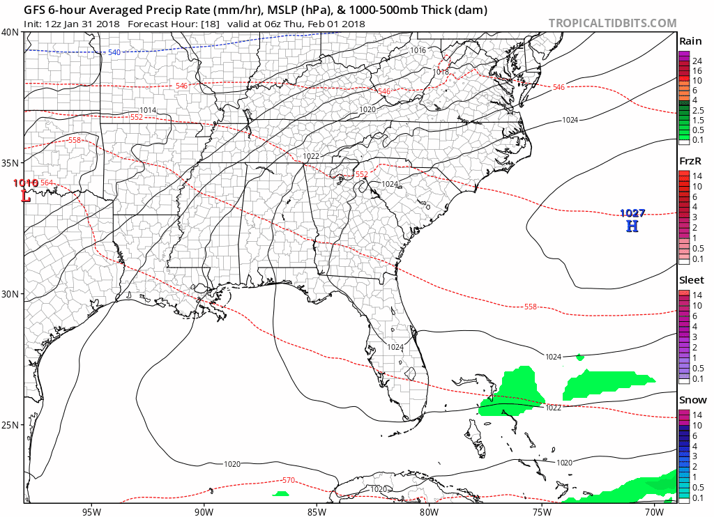
EMostly Cloudy Now, Showers Late Tonight into Early Tomorrow
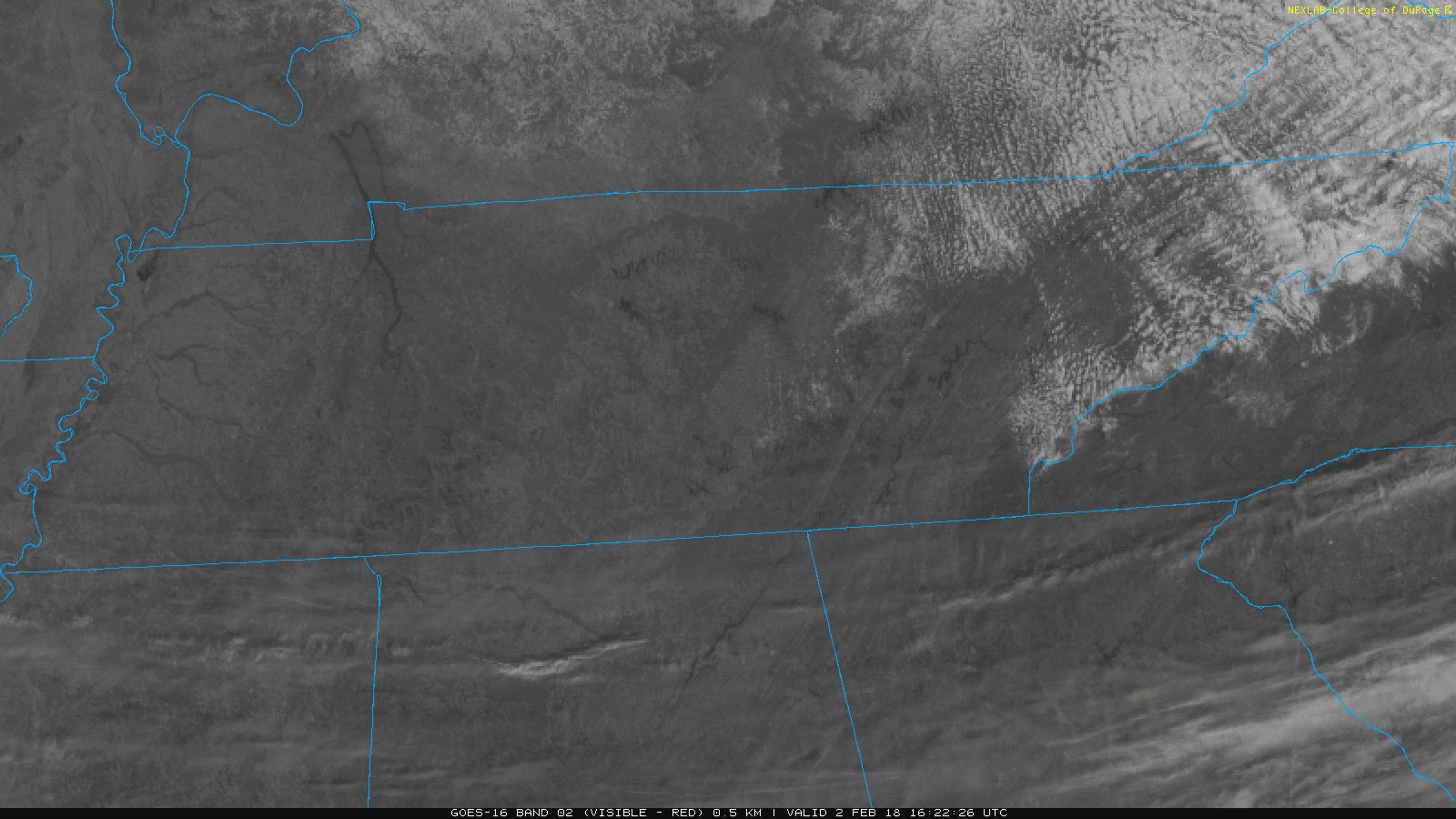
Streamline of clouds are currently pushing into the Middle Tennessee area. Expect clouds to hang around through the majority of the day, with an increase in clouds this afternoon into this evening.
Current GOES-16 Data as of 8:24 AM
You must be logged in to post a comment.