Rainy Saturday
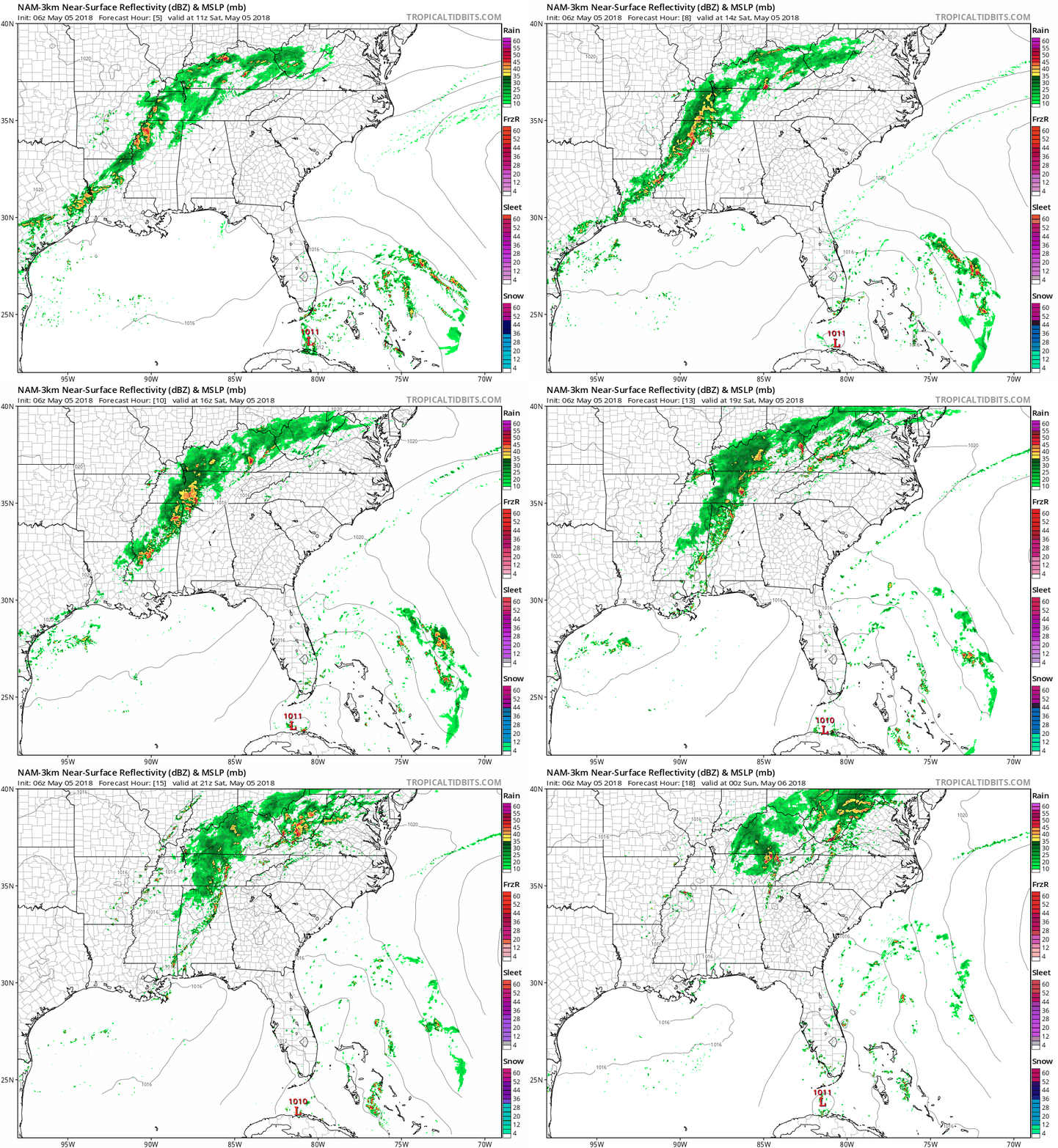
Rain moved in early this morning, although it’s been holding back a bit through mid-morning. Rain will increase in coverage and intensity around lunch and continue into the afternoon.
How long will it stay?

Rain moved in early this morning, although it’s been holding back a bit through mid-morning. Rain will increase in coverage and intensity around lunch and continue into the afternoon.
How long will it stay?
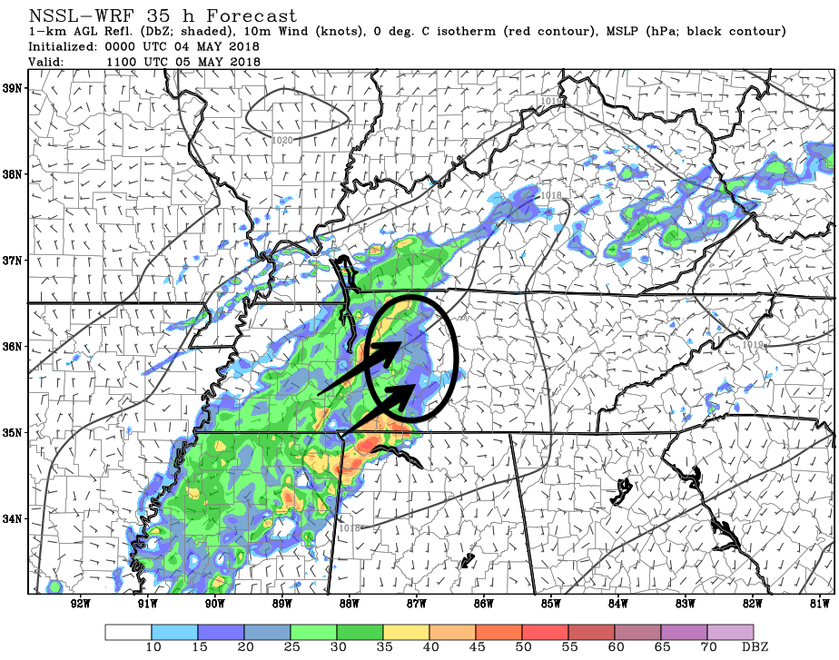
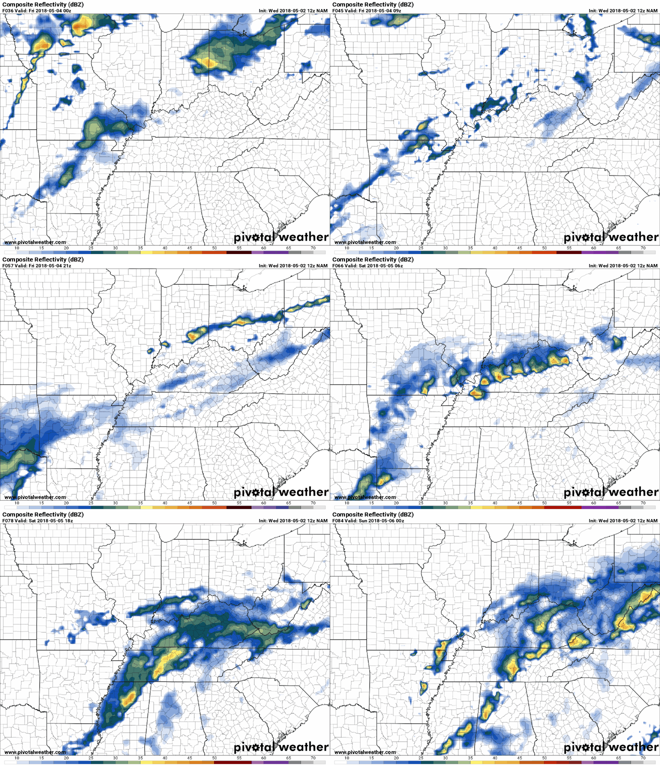
Therefore, those with plans outside tonight should have a rain plan, and keep an eye on the radar (and our Twitter feed). Most models have some rain sweeping by at various times tonight, but it looks pretty weak.
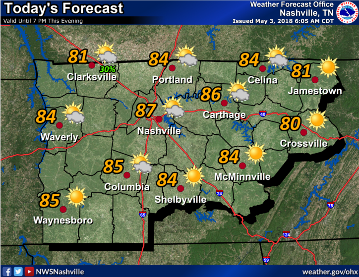
Temps today are going to feel more like summer than spring. Highs could creep into the upper 80s! Without clouds, we’ll bake a bit. Some of you may even see your car thermometer hit 90.
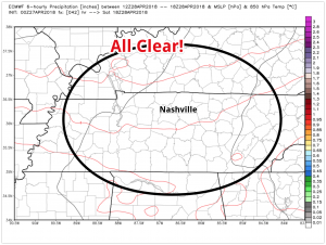
Will we see rain today? Not likely.
Temps are climbing into the mid 80s! We have an upper level are of high pressure to thank for this.
That high pressure is slowly moving out, but not before pumping in warmer south winds, rising our temperature each day this week.

Good morning Nashville! Relative to April, we are starting May on a warm note. Expecting a high of 84º with dew points in the low 50s. So, if you enjoy the sun with no humidity, get outside today!
Temps will rise into the low/mid 80°s this week. Humidity is also rising, but it won’t be that bad.
Mornings won’t be as cold; Tuesday morning expect 51°, then mornings warm into the 60°s after that.

Gradually. 76° Monday, mid 80°s Tuesday through Thursday.

I hope all of the runners in the marathon this morning enjoyed the awesome weather we had!
Today is going to remain nice with clear skies for the most part; expecting a high of 72º. It’ll be a bit breezy, but winds will relax tonight.
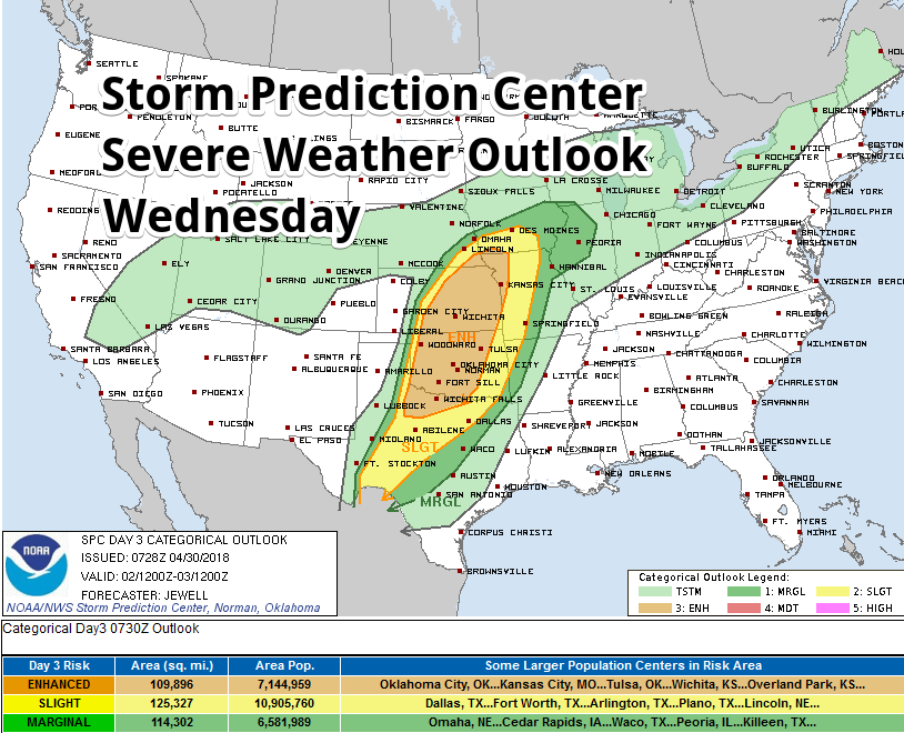
Editor’s Note: Seven years ago today, the southeast suffered a generational tornado outbreak. Today we remember those lost. For a gripping, well researched, and a heavy, sad book, peeling back the layers of this tragedy, and telling true stories of grief, horror, survival, and loss, read What Stands in a Storm, by Kim Cross.
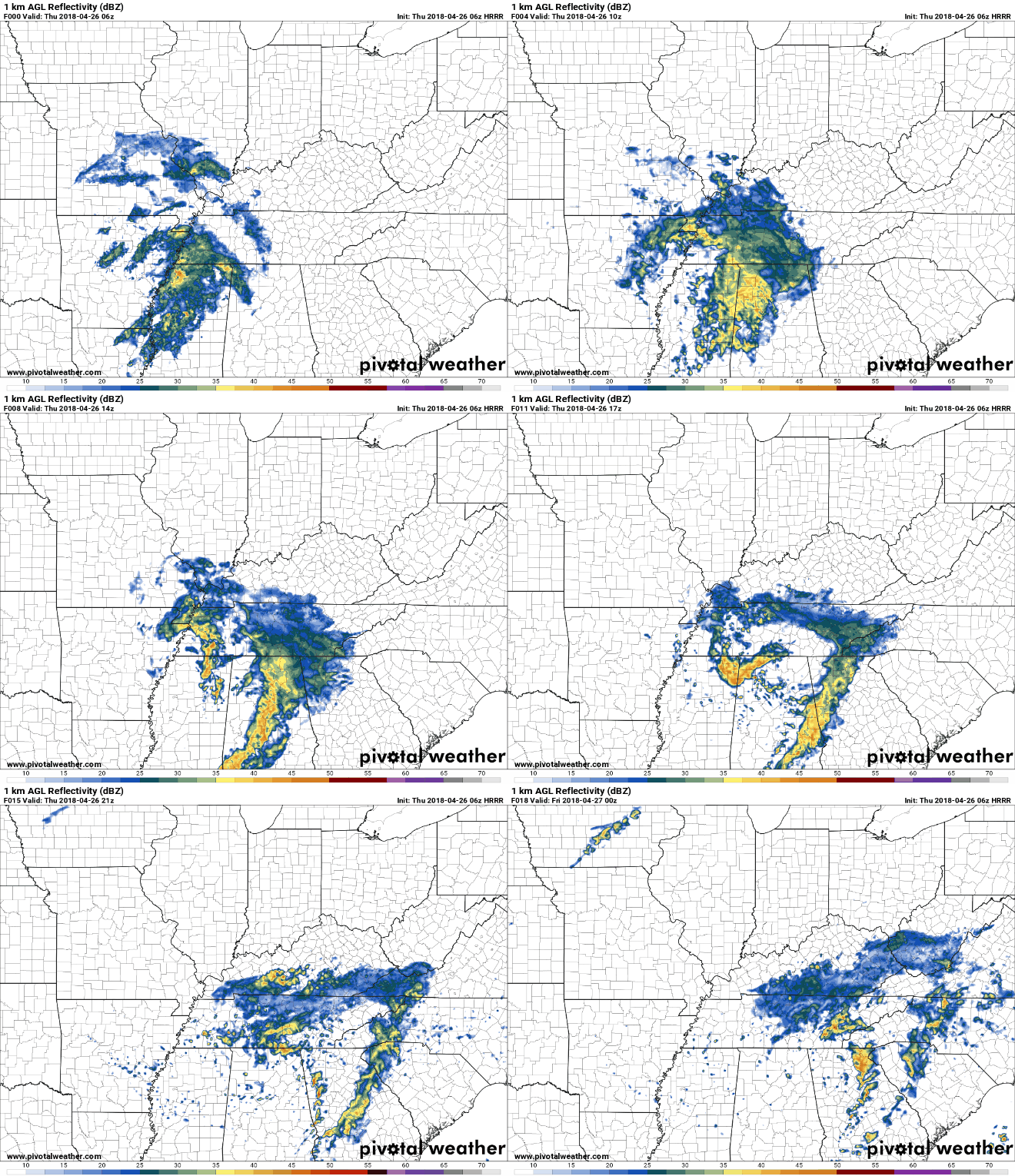
A small low pressure system has settled itself seemingly just south of Davidson and Williamson Counties. We are getting the rain from the north side of it.
Rain should continue falling lightly until early tonight.
You must be logged in to post a comment.