Snow moved through last night, but noting accumulated here. Those to our north and east did see accumulation, especially in higher elevations. It looks like totals are varying anywhere from 0.5-3”!

Snow moved through last night, but noting accumulated here. Those to our north and east did see accumulation, especially in higher elevations. It looks like totals are varying anywhere from 0.5-3”!
Today is the first day of Spring!
https://giphy.com/gifs/spring-school-spongebob-squarepants-X4M6homF66qFq
Unfortunately, it won’t really feel too much like spring today. Chilly and cloudy conditions will prevail through the AM with showers arriving later in the afternoon. Today’s temps look to steadily fall throughout the day.
Note: The tornado watch is cancelled.
Oh boy, only in Nashville! Storms this afternoon are quickly moving east and we turn our attention to cooler air and a change in wind direction tonight.
NWS Temperature Trend

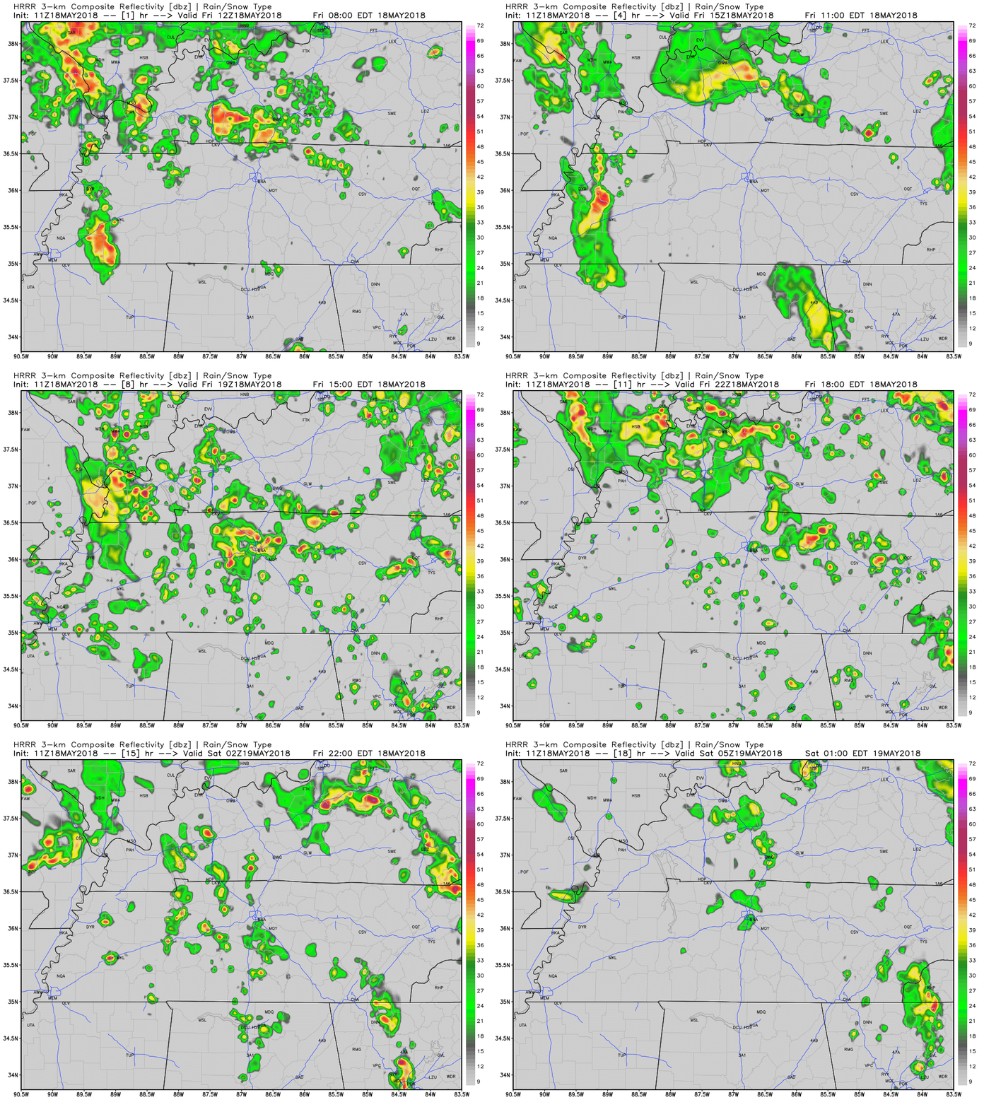
Good morning, all. We are expecting strong to severe thunderstorms today, with all hazards (large hail, damaging winds, tornadoes) possible. Latest runs of the HRRR show that between mid-afternoon and early evening will be our best opportunity for menacing storms to race across Middle Tennessee:
1 PM to 5 PM Monday.
Obviously, this risk will occur during school dismissal and the evening commute.

Hail, and/or damaging thunderstorm winds, and/or tornadoes.
In the order of likelihood, assuming we get a storm: (1) Hail–most likely. (2) Damaging thunderstorm winds–next most likely. (3) Tornadoes–third most likely. Hail is not that much more likely than tornadoes, though. Consult the below chart from NWS-Nashville:
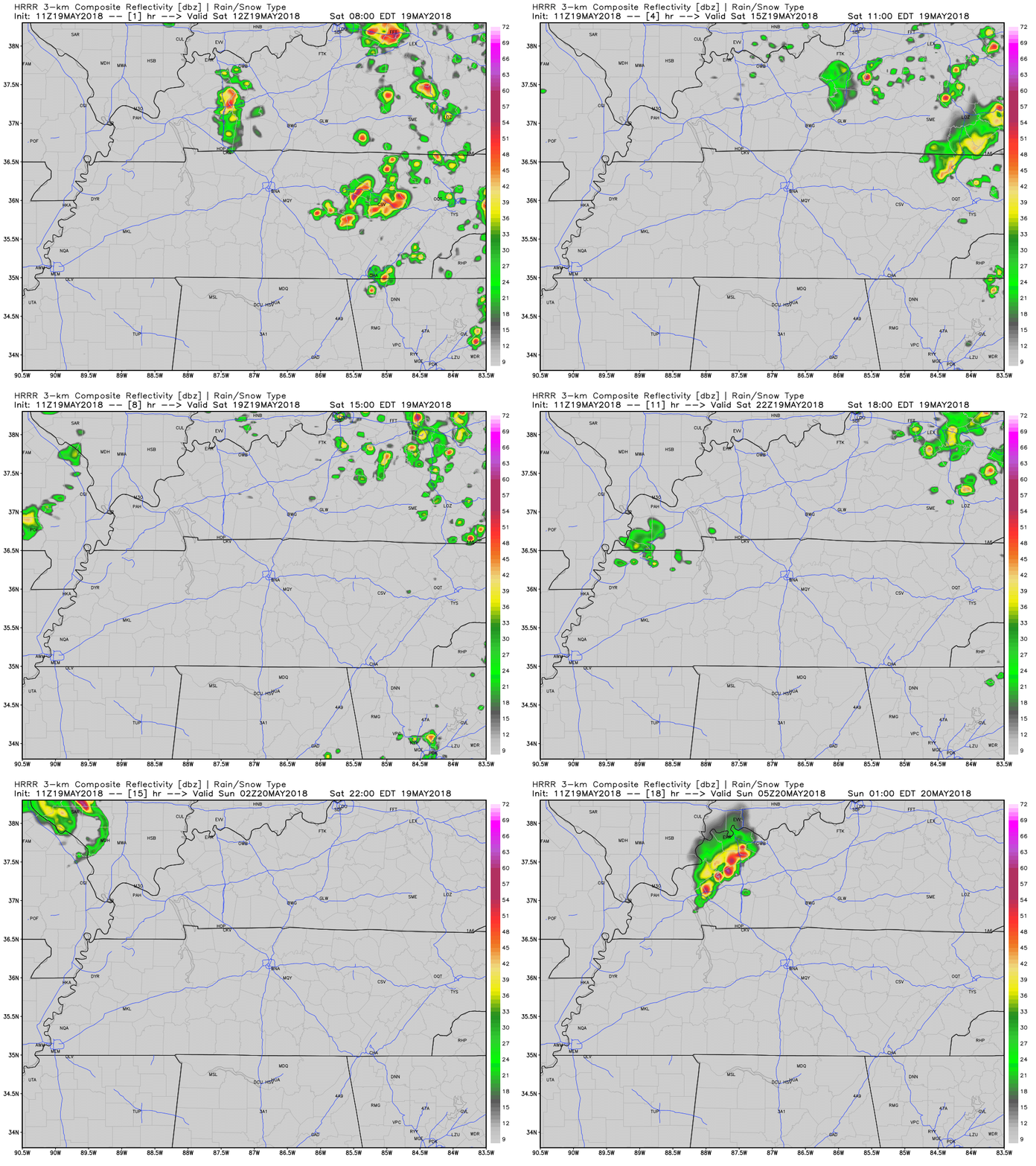
Quickly, about today, we’re not expecting rain. We may see light rain show up late tonight. Here’s the HRRR model’s prediction thru 11 PM:

The Storm Prediction Center issues outlooks for severe weather. Six categories for severe weather are used, beginning at general, non-severe thunderstorms, and running all the way from 1 through 5, with five being the “worst.”

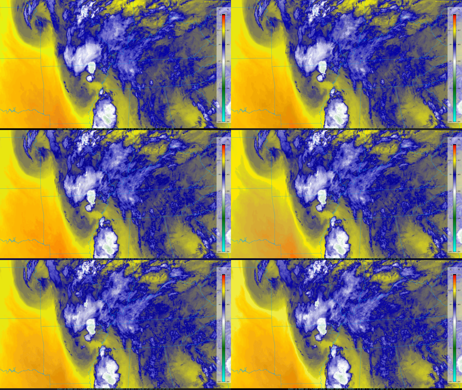
GOES East Loop This Morning

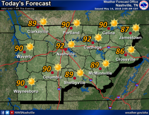
*Geek out moment*: Notice that band of clouds over Northwest Tennessee? That’s out ahead of a cold front! This front will slide through the area today bringing cooler (but not terribly cold) air for tomorrow. As long as we get intermittent sunshine today, temperatures are expected to soar into the upper 70s.
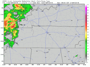
The HRRR model for the mid afternoon today. It is one of the more spatially-accurate models. This shows where the low pressure center is not very organized and most of the rain will miss the Nashville area.
The early afternoon hours are expected to be breezy with winds out of the WSW until the winds shift into the SE on Friday when the rain begins to arrive.
Current rain ETA is around 7 PM Friday night. At least that’s what the NAM3 model thinks:
You must be logged in to post a comment.