

Here Comes the Rain
Who is ready for some rain?! It’s coming. Tropical moisture is arriving.
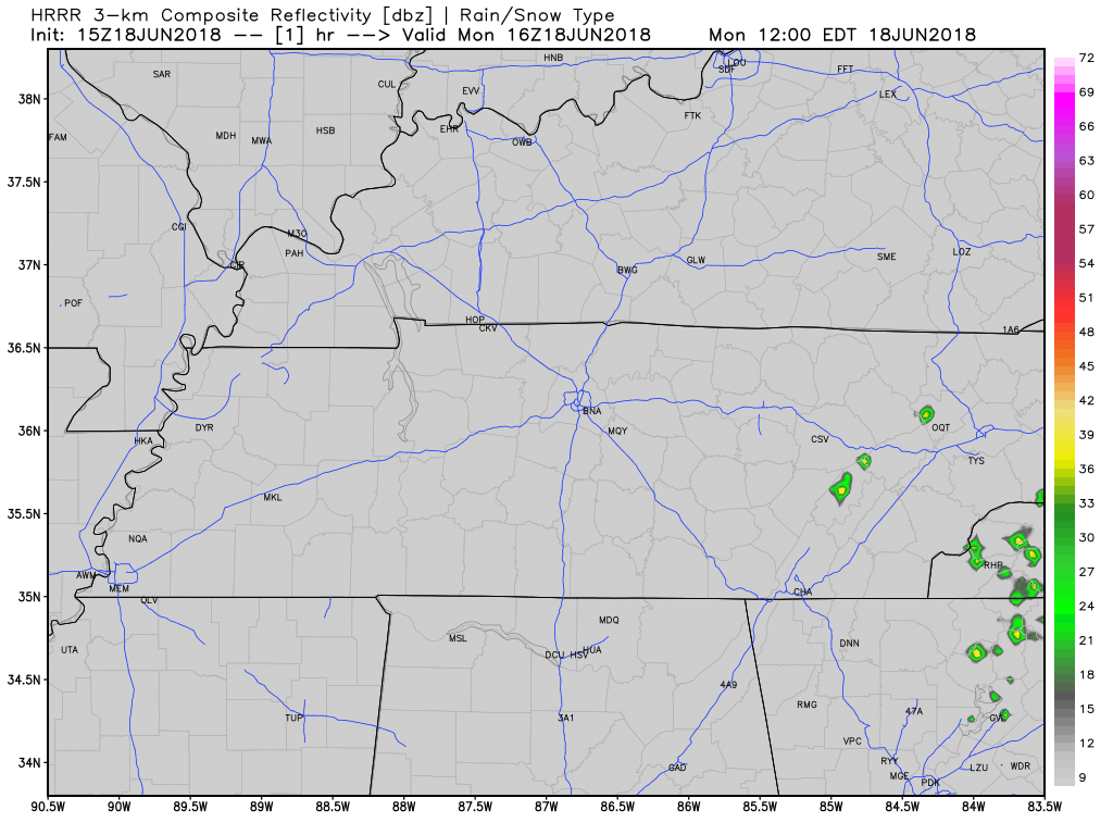
The HRRR model below shows off and on showers this afternoon, then a lot of light arriving arriving after midnight.

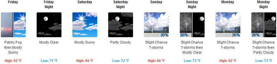
We are expecting the high temperature to be right around 90º today with dew point temperatures in the upper 60s (uncomfortable range).


You must be logged in to post a comment.