
There will be no need to go to the Gulf coast for your heat and humidity this week because it’s all heading north up I-65 into Nashville.

Every single day this week will have pop-up showers and storms somewhere in Middle Tennessee as temps and dew points climb.

The exact location of any storms, as usual in a hot and humid summertime airmass, is unpredictable. Don’t be surprised if we get a shower or storm. Sunny and sweaty one minute, thunder and soaked the next.
Severe Weather? Probably not, but it’s Possible

As we mentioned yesterday, the Storm Prediction Center has outlined us in the “Marginal (1/5)” risk for severe weather today.
That’s a risk for damaging winds and small hail; it’s not an outlook predicting risk of rain or lightning.
That said, the HRRR model today…
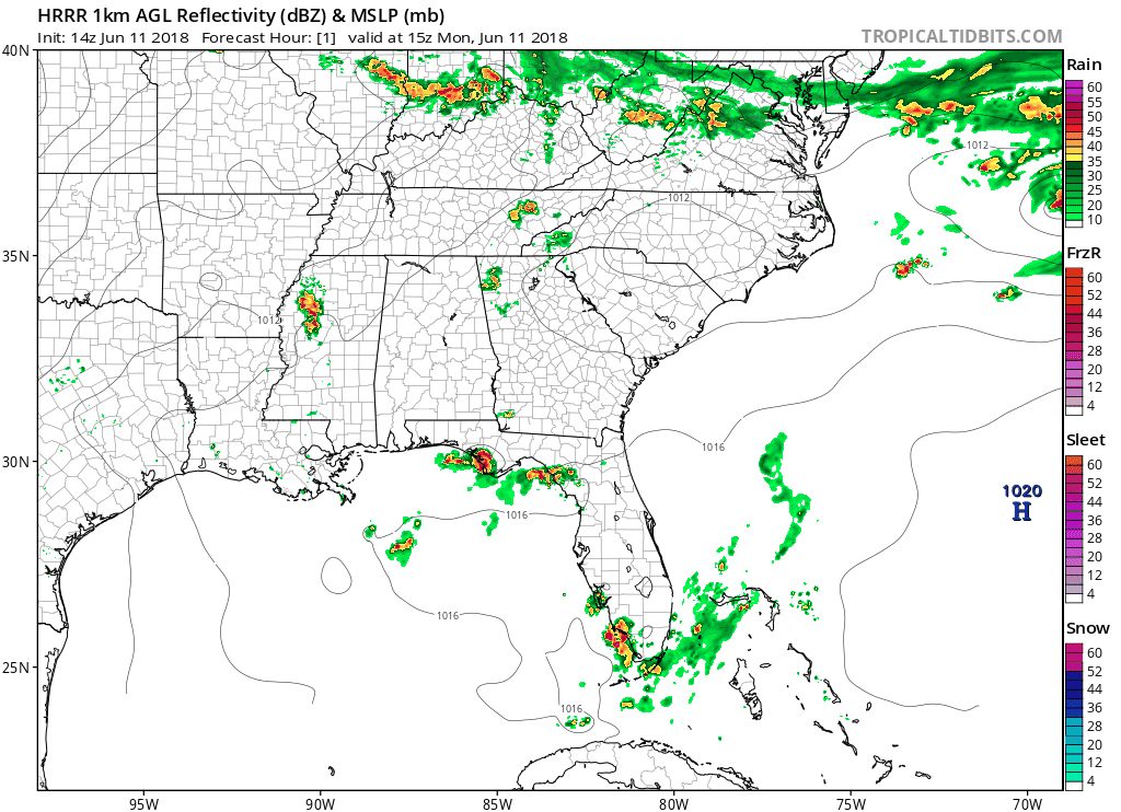
…forms neither showers nor storms over us.
But, the HRRR model may be wrong, like it was yesterday.
That “Marginal (1/5)” risk continues Tuesday:
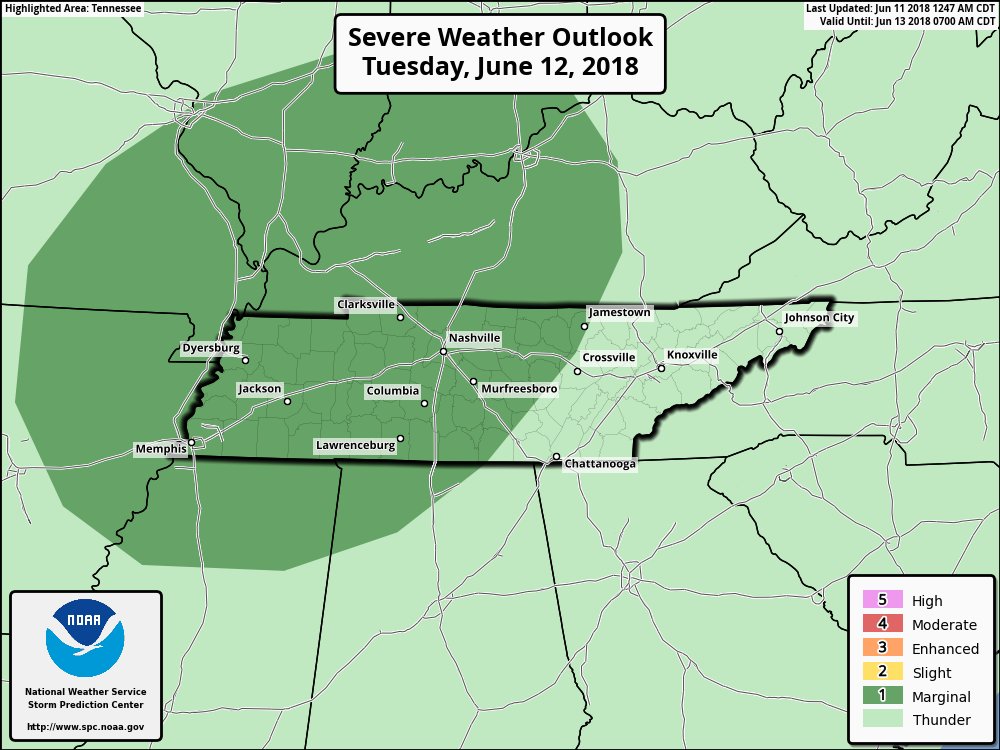
Both days will have a marginal chance for hail, damaging winds, and perhaps a very very very slim chance of an isolated tornado (Editor’s Note: we’ve had weak tornadoes in the summer before, but they’re very, very rare; so rare it is hardly worth mentioning, but here we are mentioning it, not sure if we should be mentioning it, then talking about whether it should have been mentioned to begin with. Sigh).
Be prepared with a rain jacket and a fan this week and check back to NashSevereWx for the forecast. This pattern should continue through the rest of the week.

Categories: Forecast Blogs (Legacy)
You must be logged in to post a comment.