
Today
Today should be another day of sunny skies. Because of the low to our east, our humidity levels should stay relatively low. Dew points will stay in the 50s throughout the day. Highs will be near 83°.
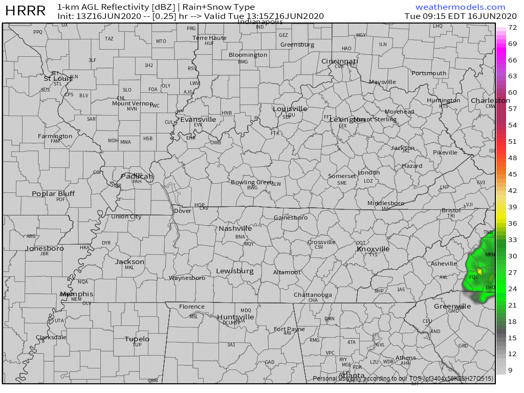
The highest chance of some showers is to our east. We should stay dry, but we can’t rule out a stray one rolling into our neck of the woods.
Tonight brings more clear conditions with a low around 61°.
Sun, Sun, Sun!
That’s how the rest of this week is looking!
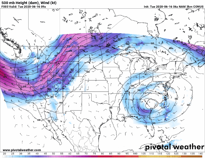
That low to our east will be sticking around until Thursday when it begins to drift north. Dew points will begin to rise again (at least this time they will stay in the 60s and not the 70s), so it may feel a little sticky outside.
Highs will stay mid to upper 80s for Wednesday and Thursday, but climb into the 90s for the weekend.
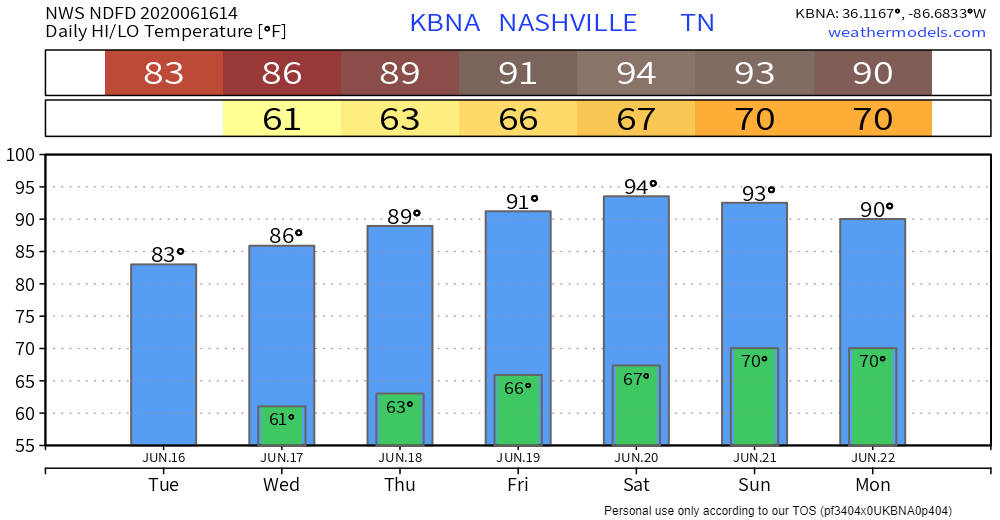
The official start of summer will be this Saturday, where highs are predicted to be near 94°! A great day to go and break in that pool (if you haven’t done so already)!

Rain Returns Sunday and Monday
A frontal boundary moving through the area Sunday and Monday will bring us our next round of rain.
Models are still agreeing on these showers and storms making a return, but it ultimately depends on the low pressure system in northern Canada. The storms are not forecast to be severe.
It’s too early to say exactly who will see rain. So right now, just keep an eye out on that forecast and enjoy this summertime weather!
But Wait, Here’s Some Things You Need To Remember…
Go over those heat safety rules: sunscreen, stay hydrated, and, most importantly, double check your backseat before locking your car!


Categories: Forecast Blogs (Legacy)
You must be logged in to post a comment.